About Rough Ride
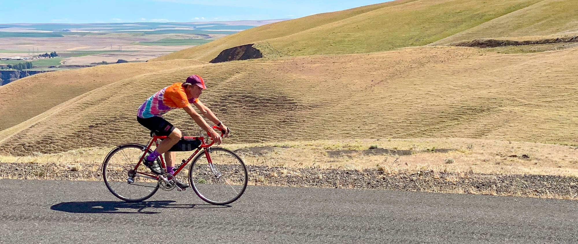
We love riding — especially unpaved roads, winding trails, forested mountains, hidden paths, under trees, along rivers, in snow, during sunsets, though huckleberries, stopping to look at wildflowers, mushrooms, moss, listen to birds, howling coyotes, admire bear scat, mountain lion footprints, villages, alleyways, cities, stopping in cafes, bike clubs, teahouses, waving to other riders, inviting kids to try our bikes, camping in deserts, discovering classic hotels, ghost towns, petroglyphs, evidence someone was here before.
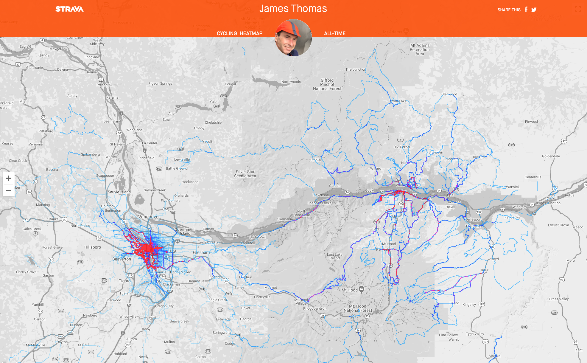
The Pacific Northwest treasure, Cascadia, awaits exploration and under-explored terrain attracts my attention. Enjoying maps, I lay out Strava Global Heatmap, Gaia GPS, RidewithGPS and seek out potential areas of interest. Rugged land, often higher elevation, with few roads, where the heat map shows only a few faint lines, I start drawing a potential route. If possible, I ride to that route. I might start on paved asphalt, perhaps even do a little clip on an expressway (where bikes are allowed), vicarious pleasure passing cars in a traffic jam on a freeway, then work my way to the mountains.
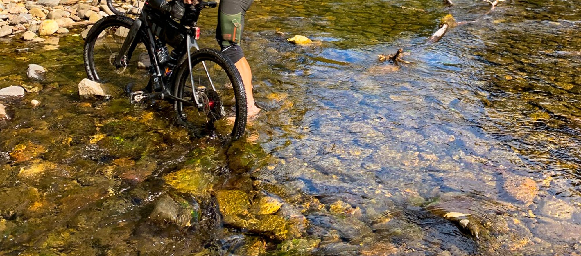
There is often a progression from traffic laden two lane roads filled with speeding trucks to narrower and narrower byways, then gravel, dirt double track, single track. I begin on my proposed path, but if something looks interesting, then I turn that direction, quite possibly even doing a bit of bushwhacking. Gradually, after repeated rides, I get to know an area well and then move on to another one, changing location as the seasons change.
Powered by Ghost.