Circumnavigating the Badger

Cycling trip around the Badger Creek Wilderness in Oregon's Cascades
Ride: June 25-26, 2020
There is a Wilderness area lying between the heavily used Rt. 35, Hood River Highway and the 1960’s era Rt. 197, The Dalles-California Highway. It contains some spectacular, high elevation dirt and gravel riding, including a portion of the Oregon Timber Trail. Although it is possible to drive up to the border of the Badger Creek Wilderness, and one can even drive through a keyhole into the center of it, riding a bike from civilization into the heart of the area is well worth the time to take the approach slowly.
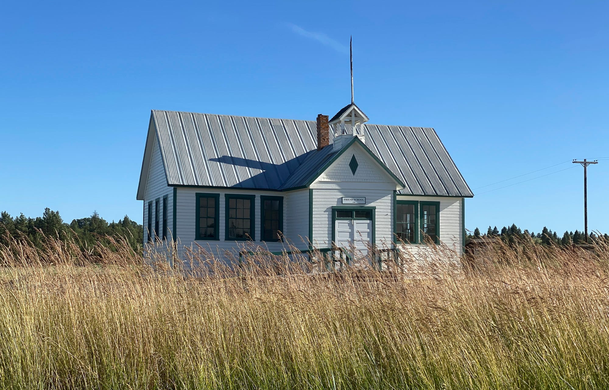
Type of ride: Multi-day, mountain loop out of Dufur
Distance: 147 km
Elevation Gain: 3000 meters
Day 1 of Circumnavigation
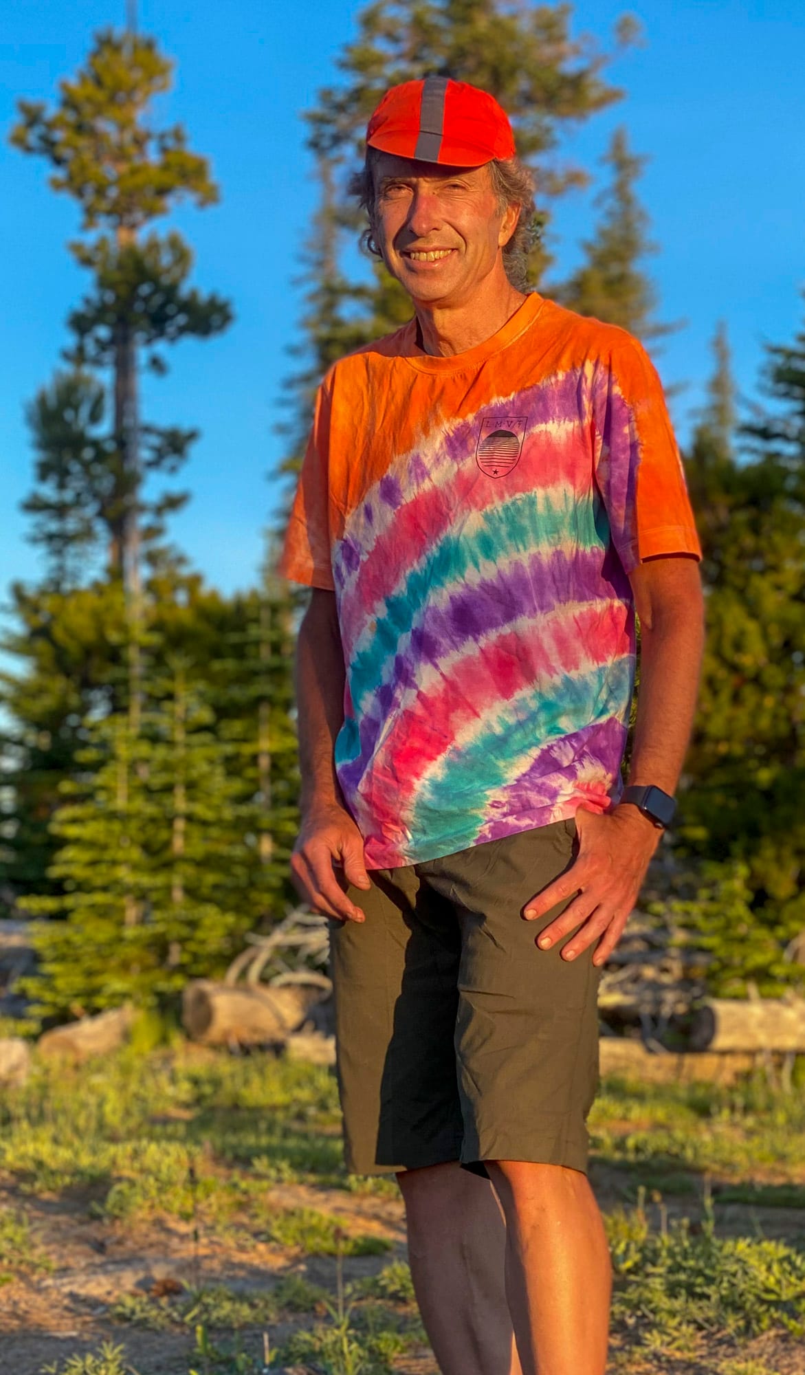
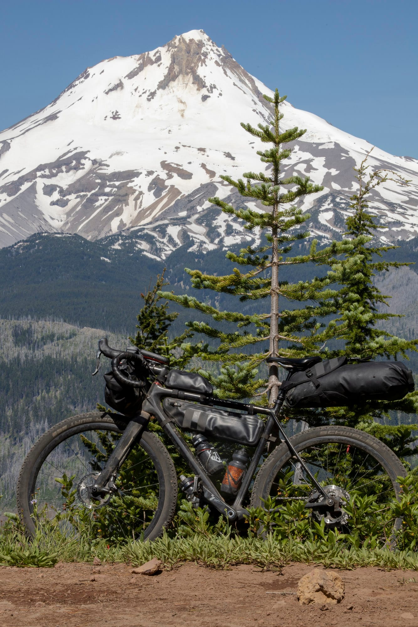
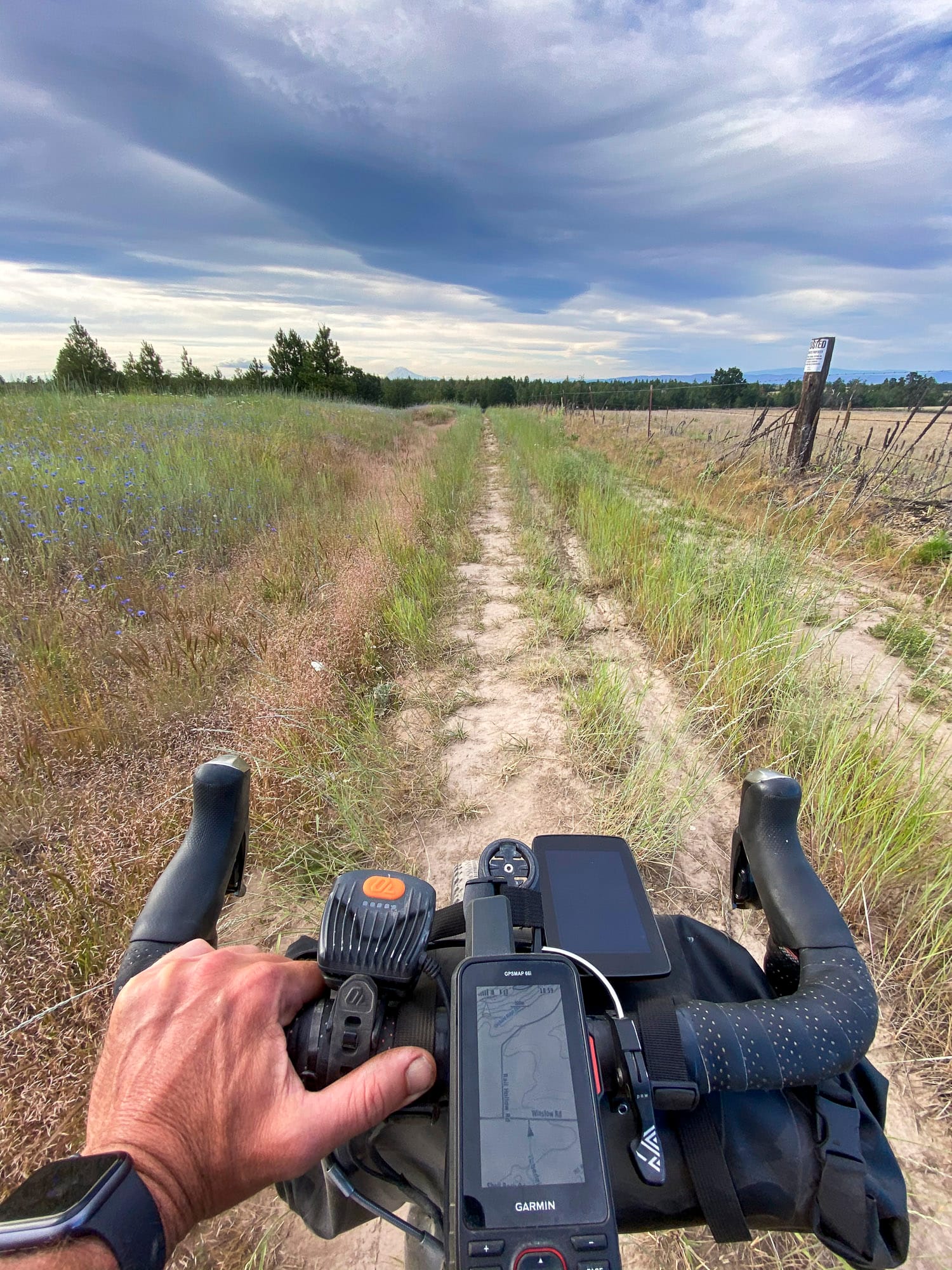
This time, leaving Dufur starts the ride on a baking June day. This is my first fully loaded trek with front, frame and rear packs loaded. The goal is to circumnavigate the Badger Creek Wilderness. It is a bit of a commitment since bicycles are not allowed in the wilderness, so once partway around, it would be best to finish the ride rather than returning.
There is not a lot of shade at the start. I’ve ridden up the Dufur valley multiple times so I’ve chosen to head over to Eight Mile valley and trace the eponymous Eight Mile Creek as a new approach.
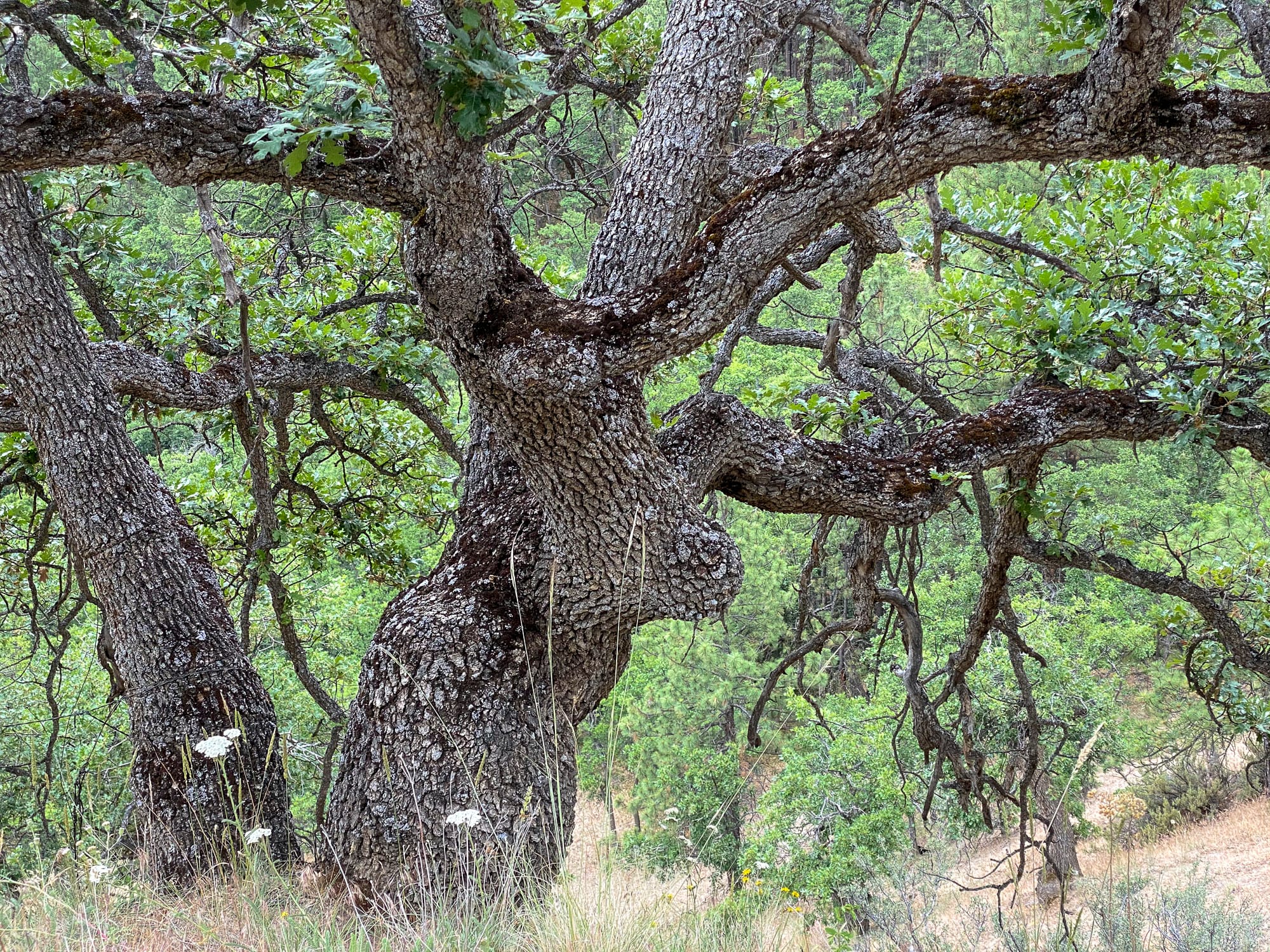
Eight Mile road becomes Watson Grade, pitching up suddenly for a bit more effort and sweat rising along the hillside of Lauronzon Canyon. Oak trees border the road side, following Rail Hollow Creek. It’s good to have a little salt in my hydration mix as salt is accumulating on my skin climbing in the sun. At ridge top, Jewell Road continues west, taking the wide crest of the ridge gradually upward into the Mt. Hood National Forest. The climate and the wildflowers change gradually as well.

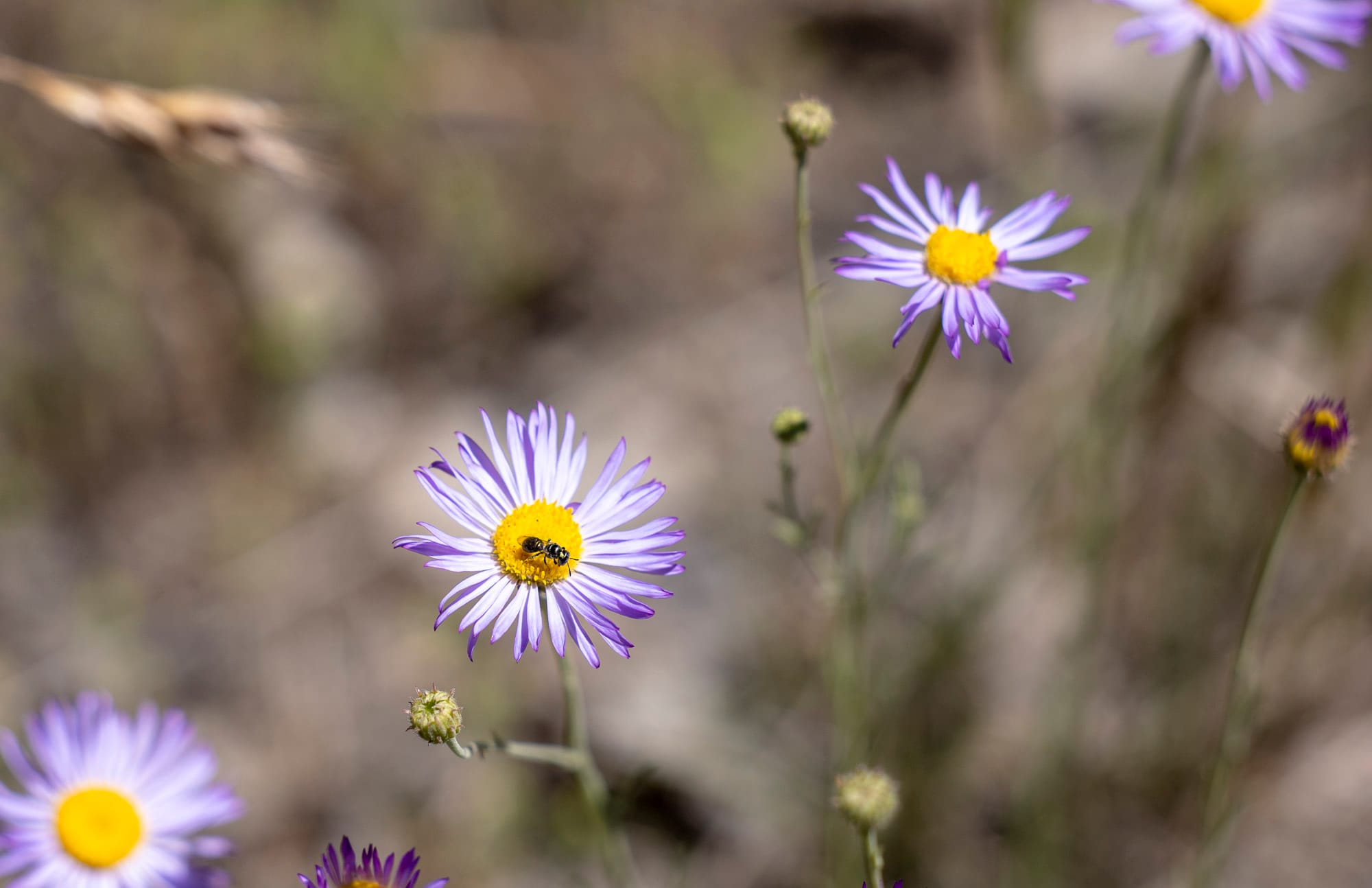
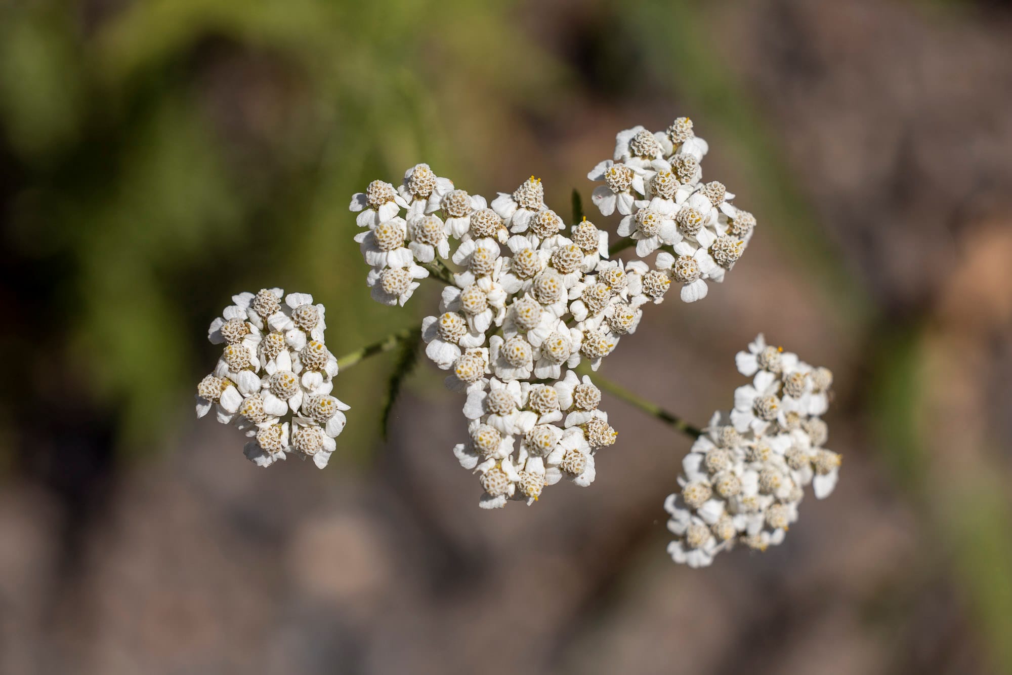
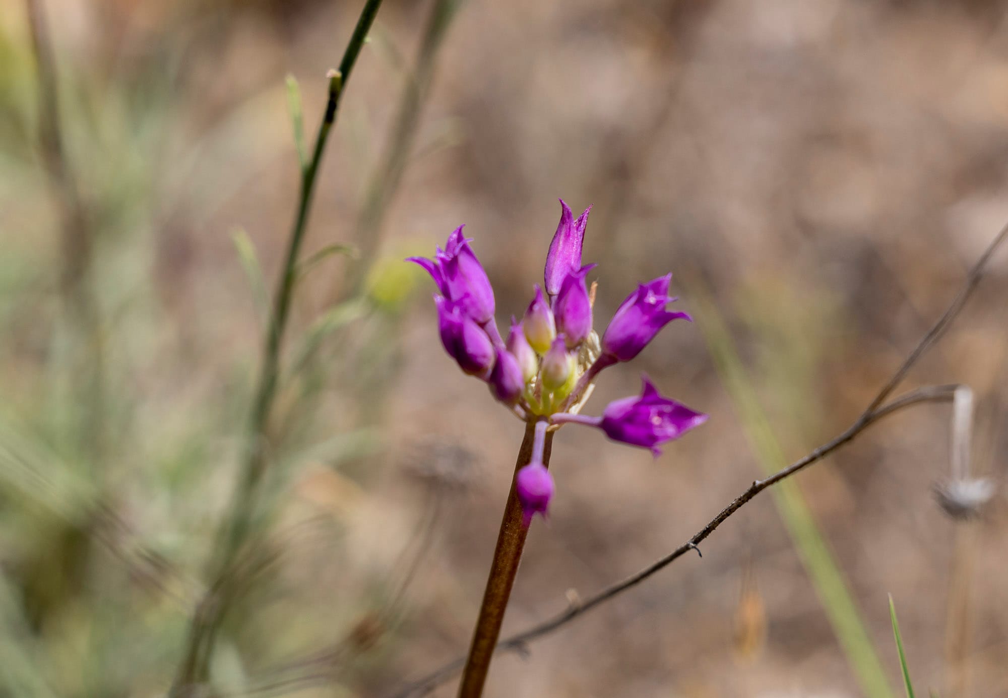
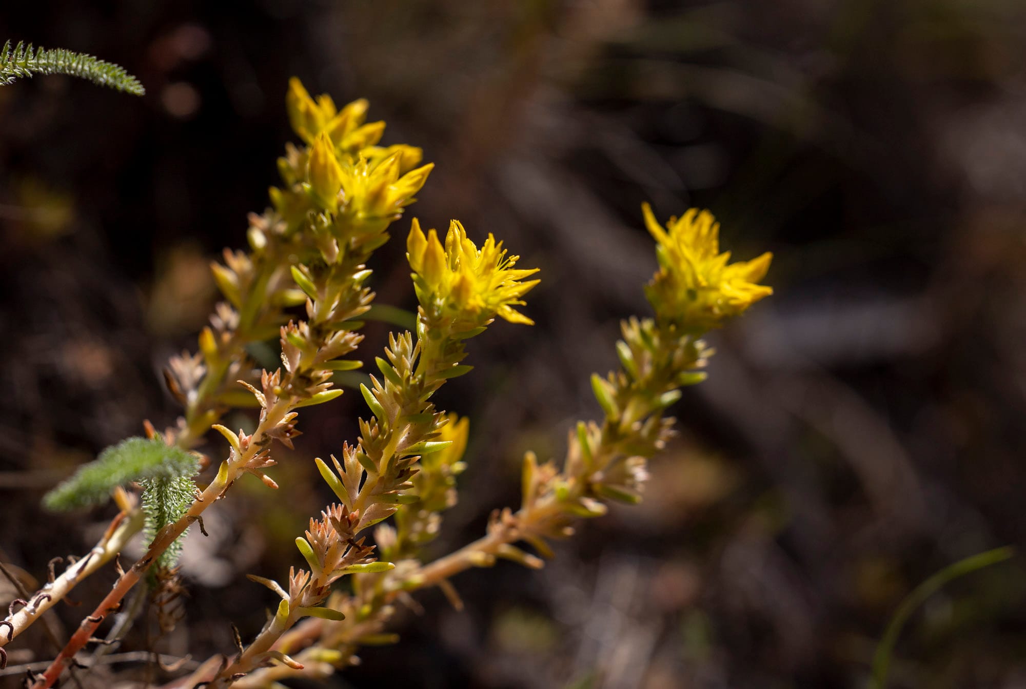
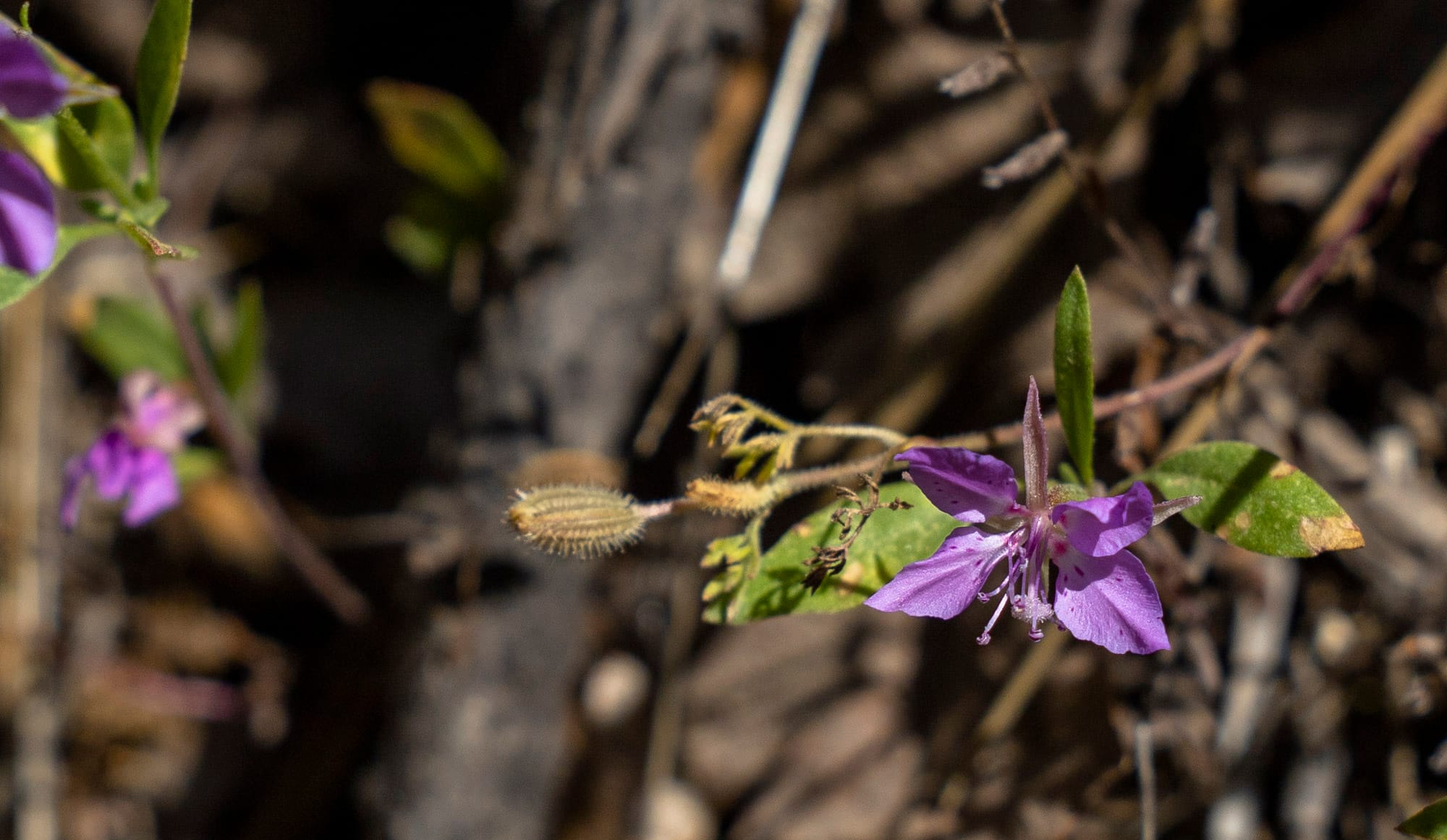
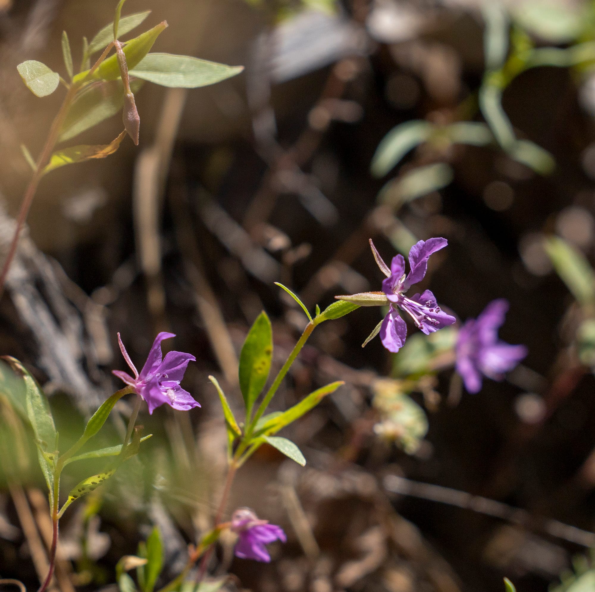
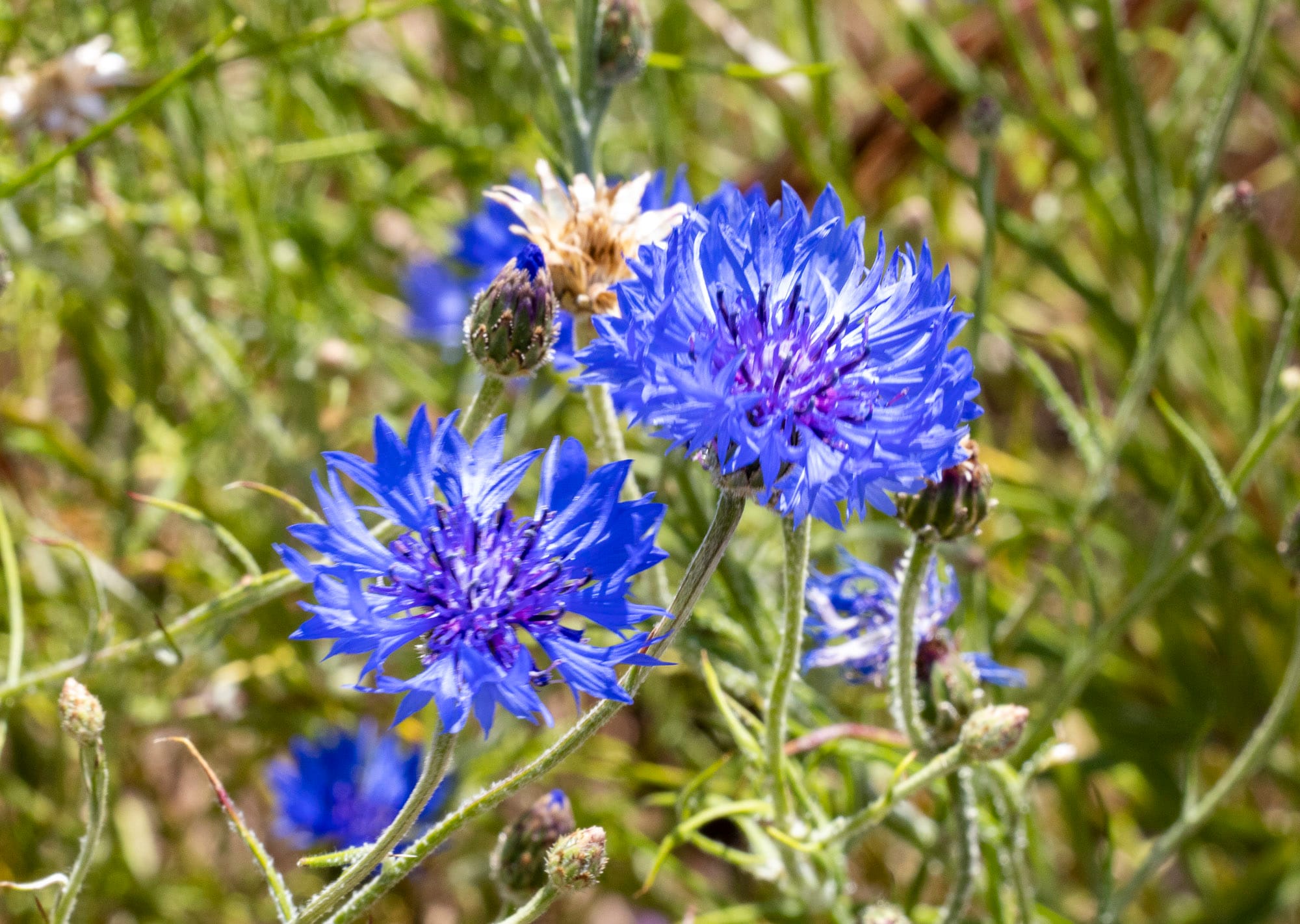
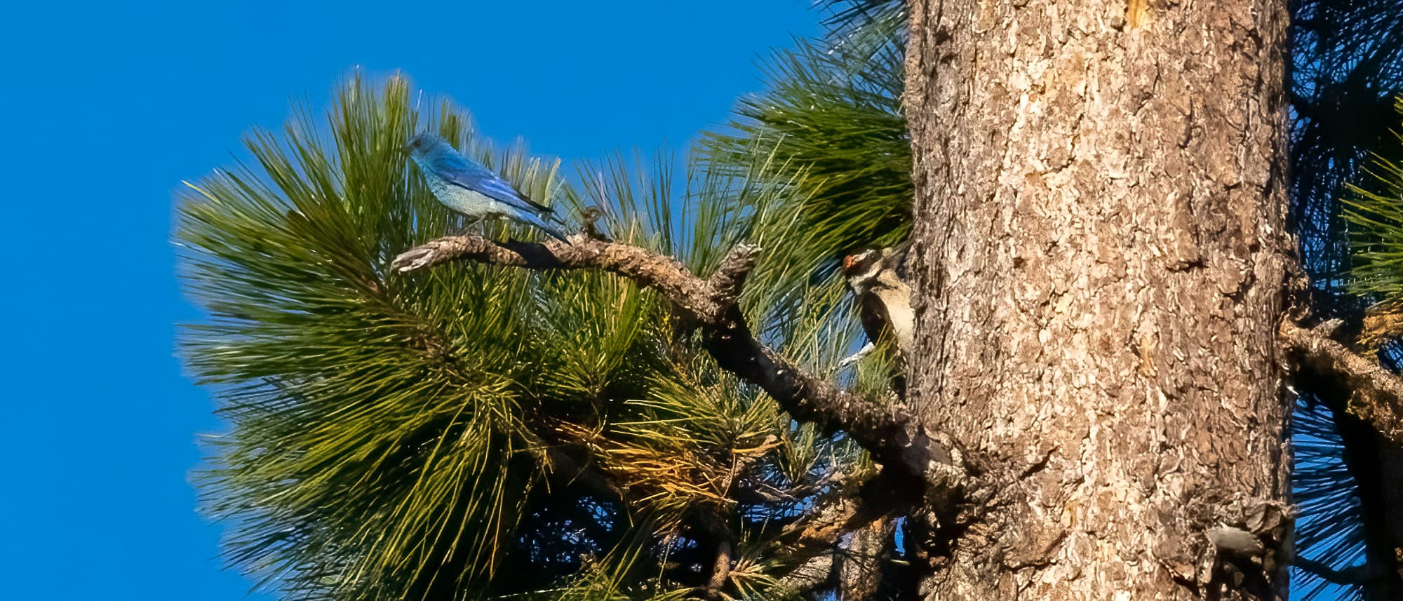
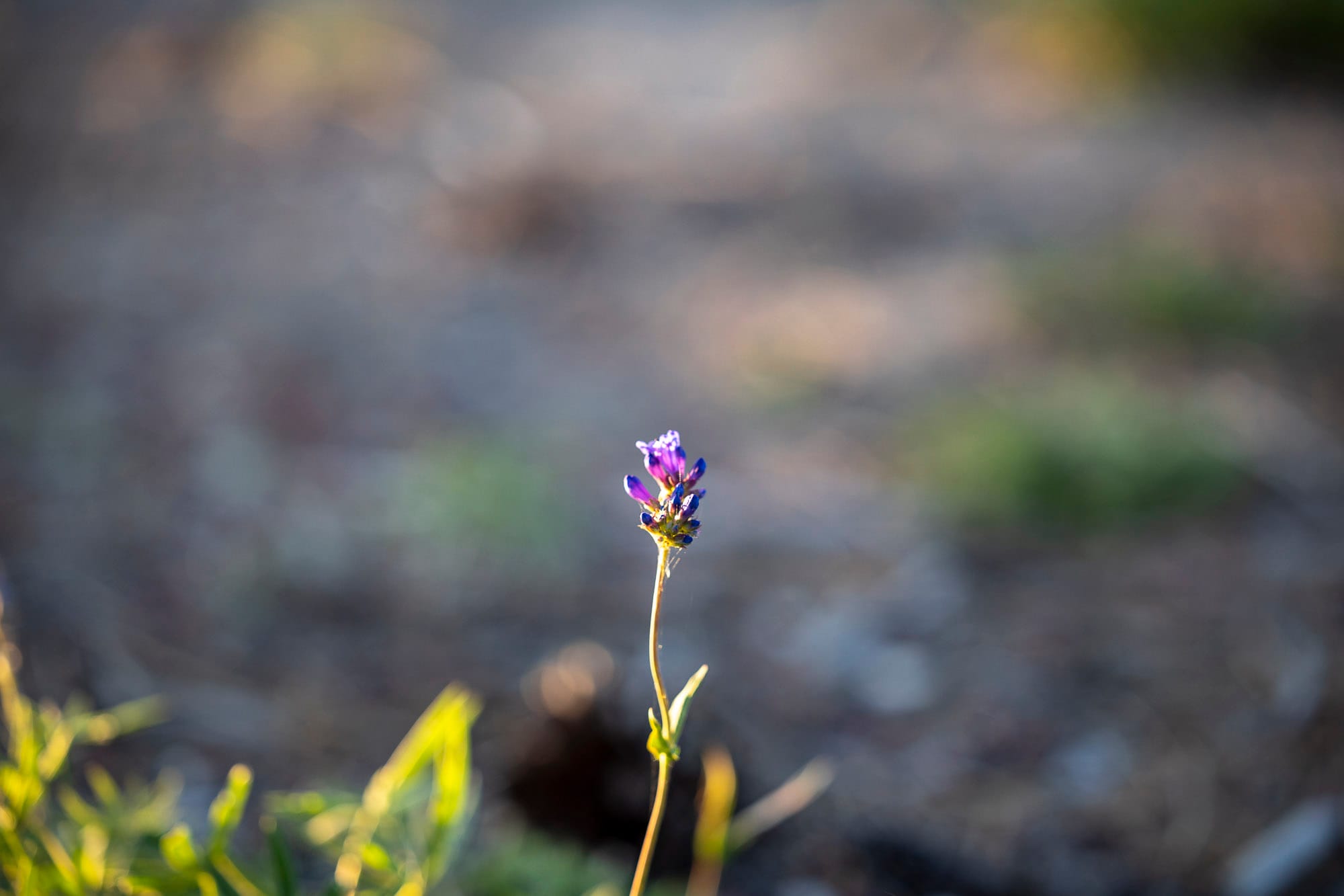
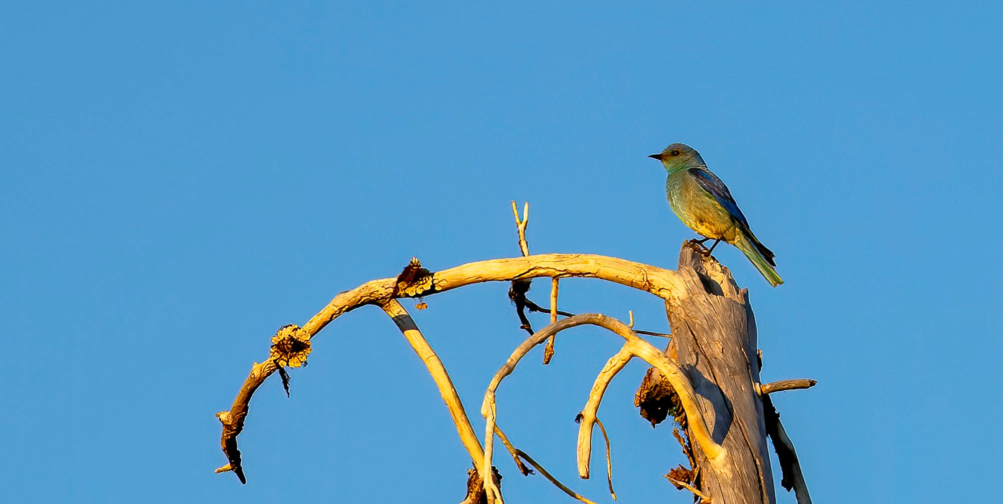
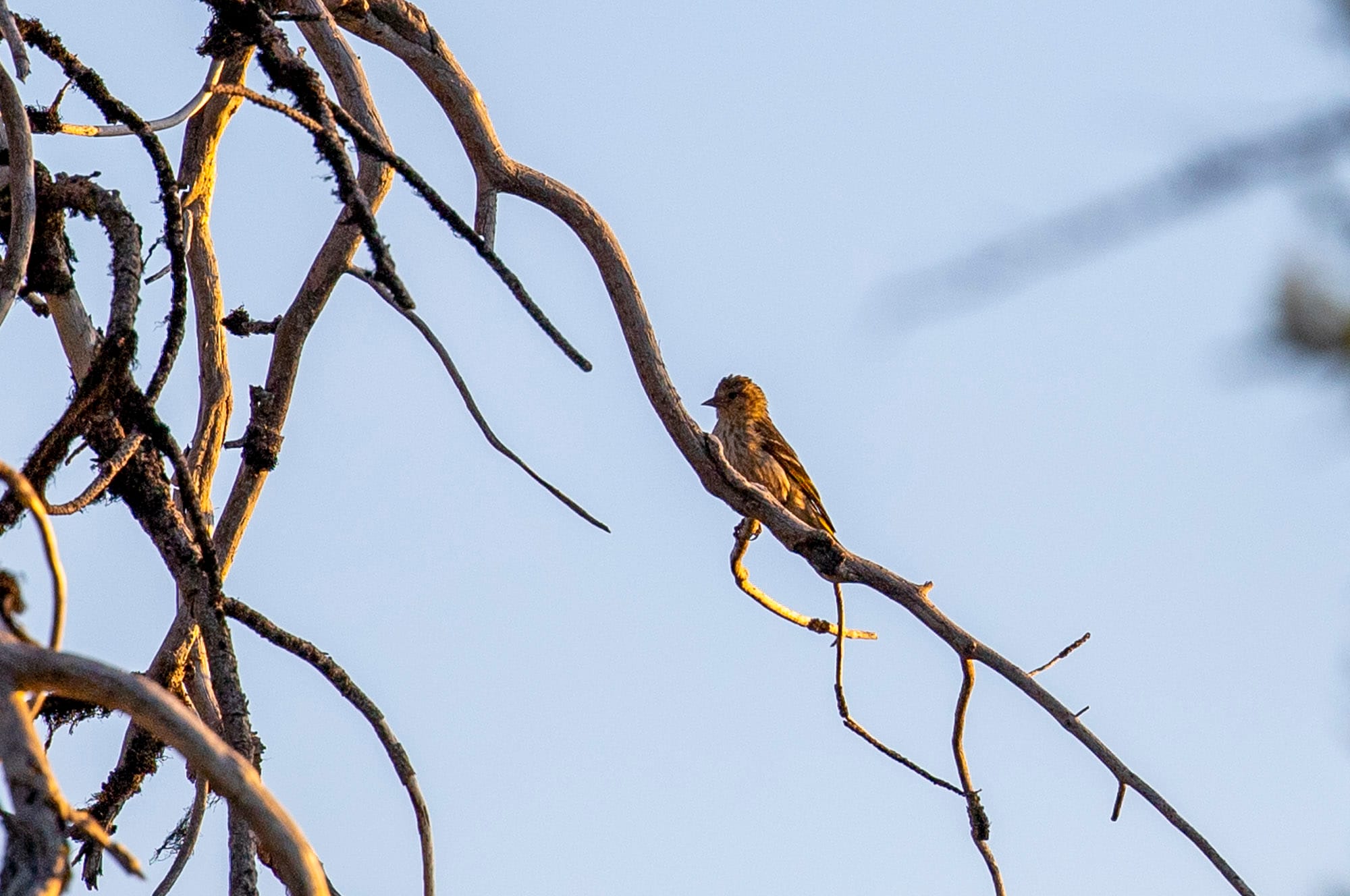
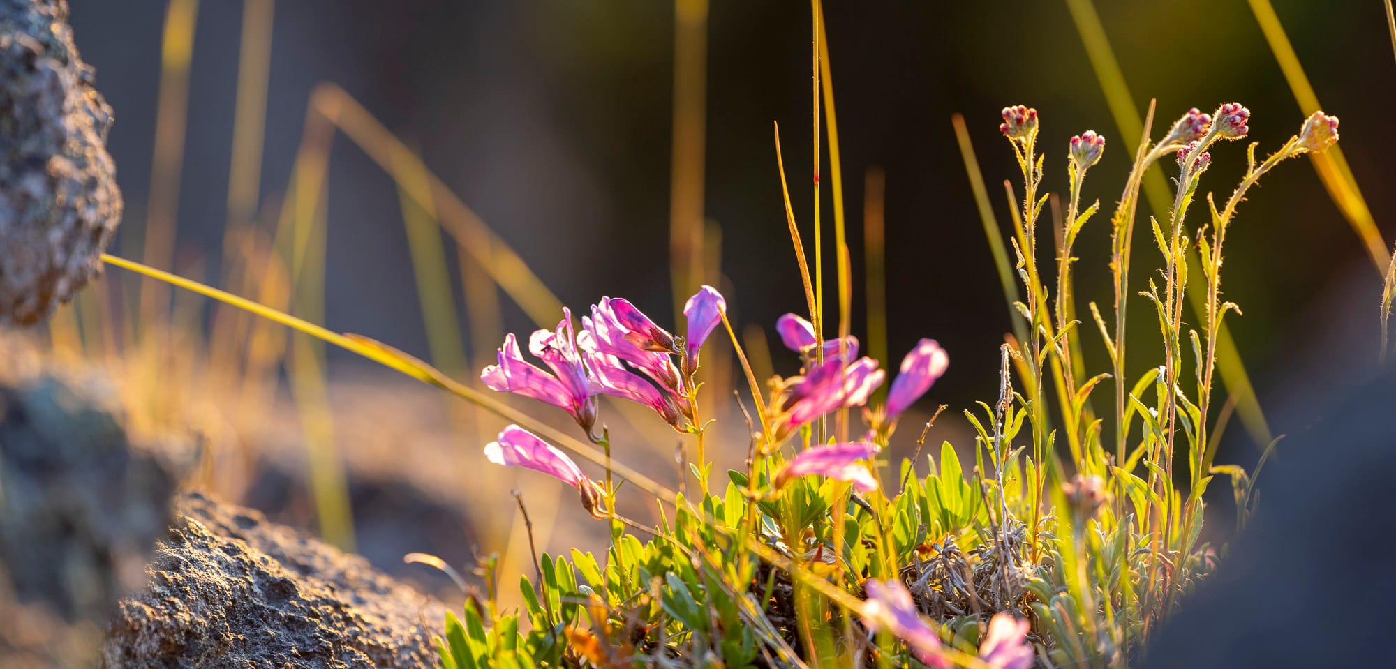
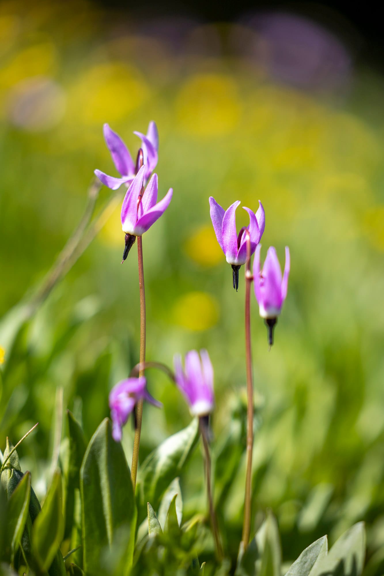
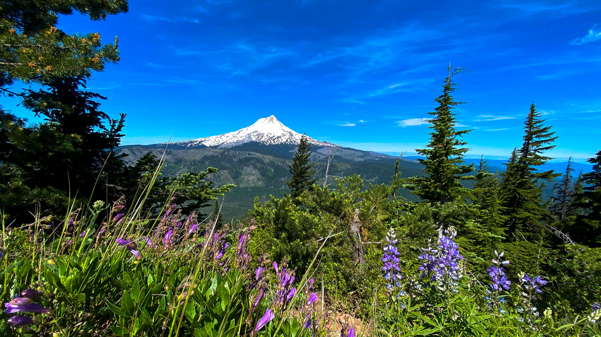
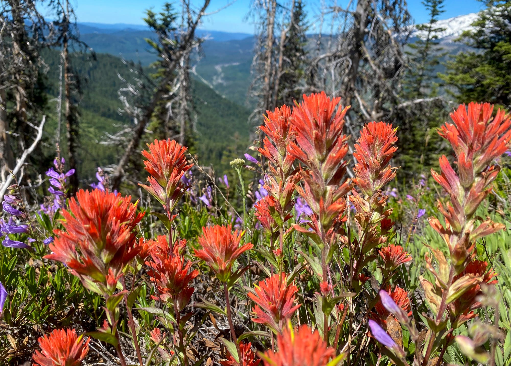
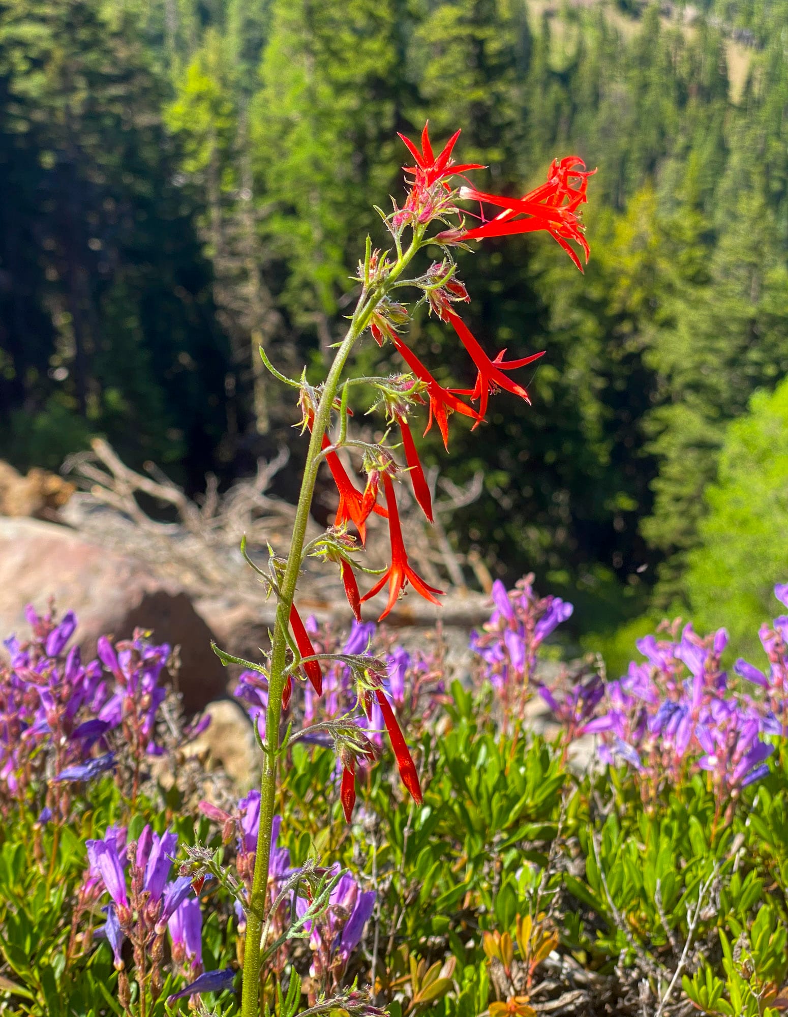
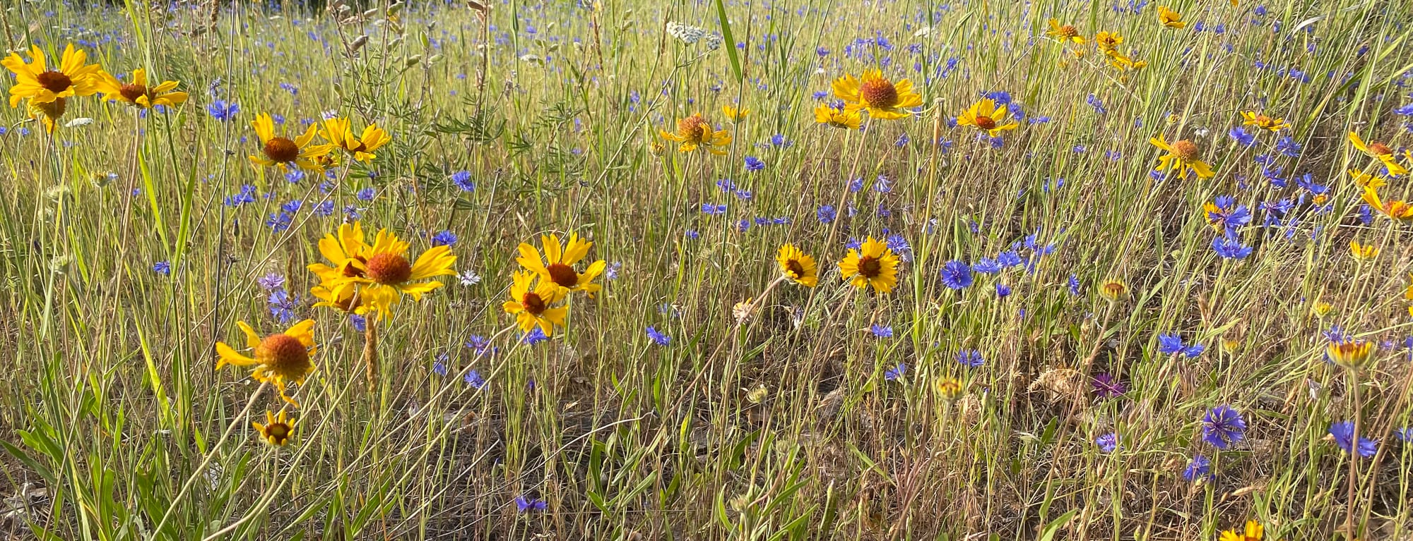
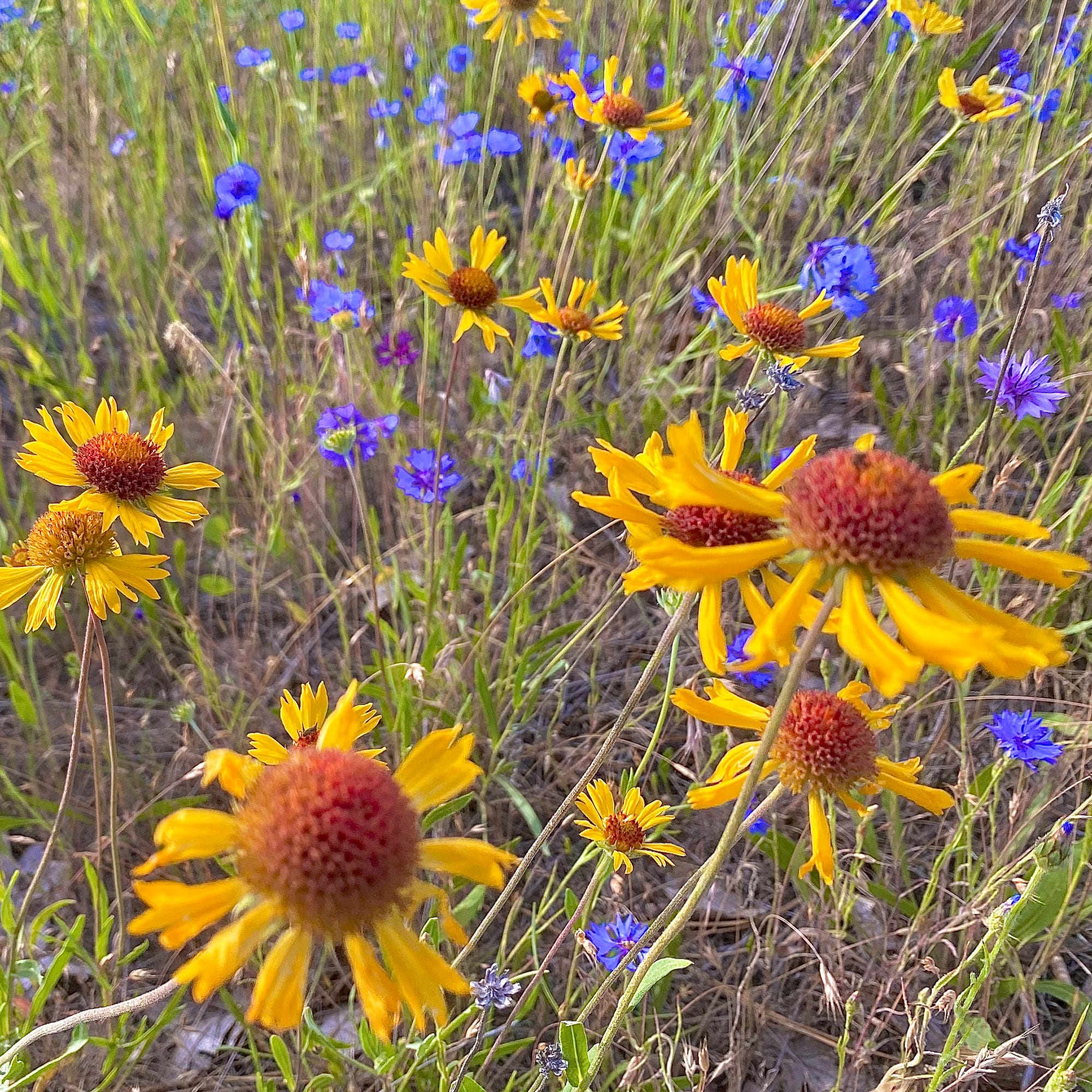
Wildflowers
As the pines appear and then stretch taller, I find the last of the yellow Balsam root in bloom, which has been blooming for more than two months since I first noticed a blossom down by the Columbia River. Currently though, along Eight Mile road, most of the yellow balsam root flowers are crispy and the leaves are starting to turn brown.
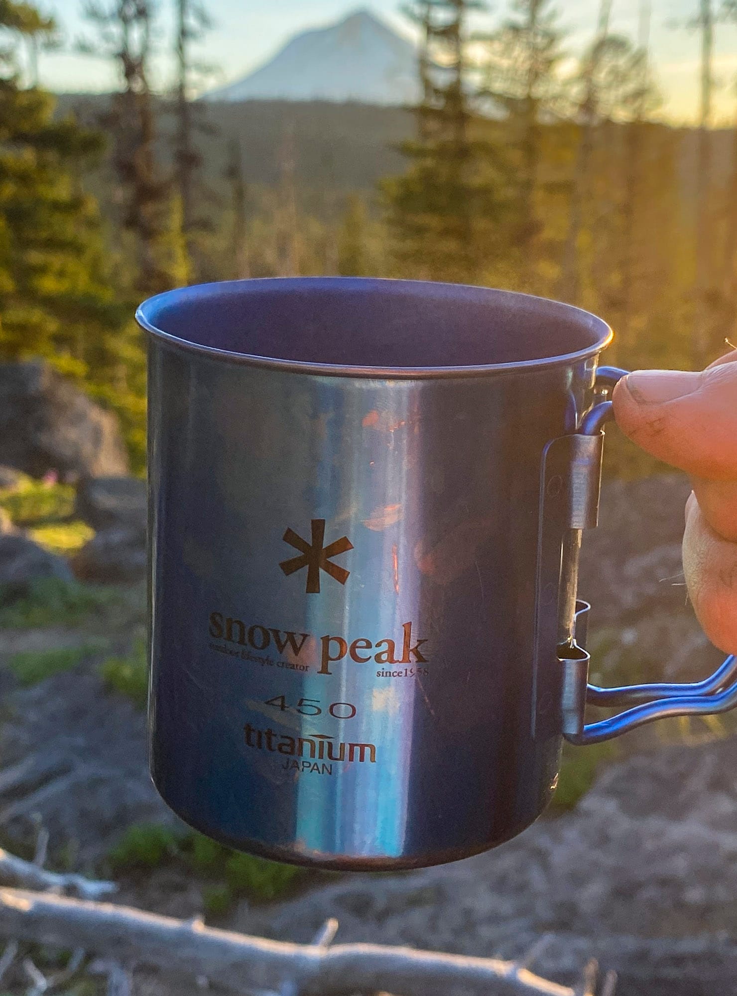
The forest canopy begins to close in. The mixed dirt and gravel road dips back to Eight Mile creek at Lower Eight Mile Campground. Here the National Forest Service has an outhouse and two campsites. Children are screaming with joy in one of them. The stream water tastes good (UV purified). There is easy single track up to Eightmile Crossing, but to avoid some of the steeper single track further upstream, head across NFDR 44 to Billy Bob Sno Park. This accesses a dirt road leading to a Ramsey Creek crossing and then a completely unmarked path (at least on all my maps and apps) leads right along the creek to Pebble Ford Campground. Although I rely on downloaded maps on Gaia GPS (usually Gaia Topo, NeoTracks and Private Land overlays), it was great to have 44 Trails Area by Adventure Maps for a non-electronic version, especially because it plotted freshwater springs for finding the best drinking water in the world. Forgot to bring your map? Pick up the analog map from Mitchell at DirtyFingers bicycle shop in Hood River.
A left onto NFDR 4420 starts as graded gravel, then bears left at the fork onto Cold Springs Road. This dirt double track is decommissioned further south, so motorized vehicles become increasingly rare. Bulo Point is hidden off to the left, a must see rocky outcropping looking over the green pines, back onto the golden dry land just ascended.
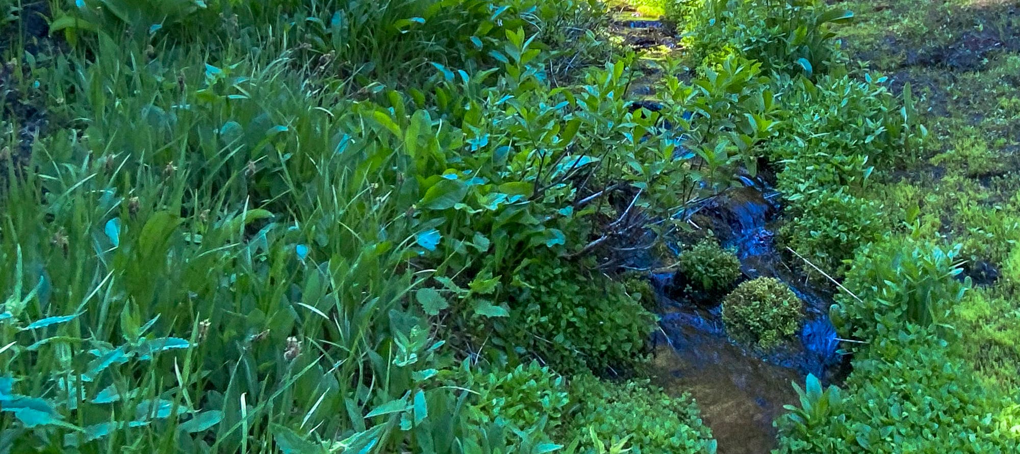
Shortly after the road block, the road is being reclaimed by the forest with only singletrack remaining. On this section it would be easy to peddle right through Denest Spring, but do stop and sup this sweet water bubbling from the ground.
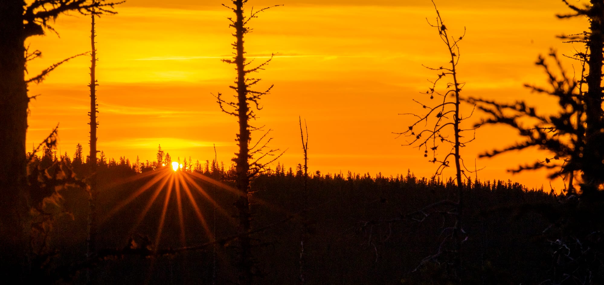
Dusk was settling in the forest and the mosquitos began their inquisitive probing at this point. It soon turned into a broadside nearing Fifteenmile Campground. I wish all of the campers well choosing to camp there tonight.
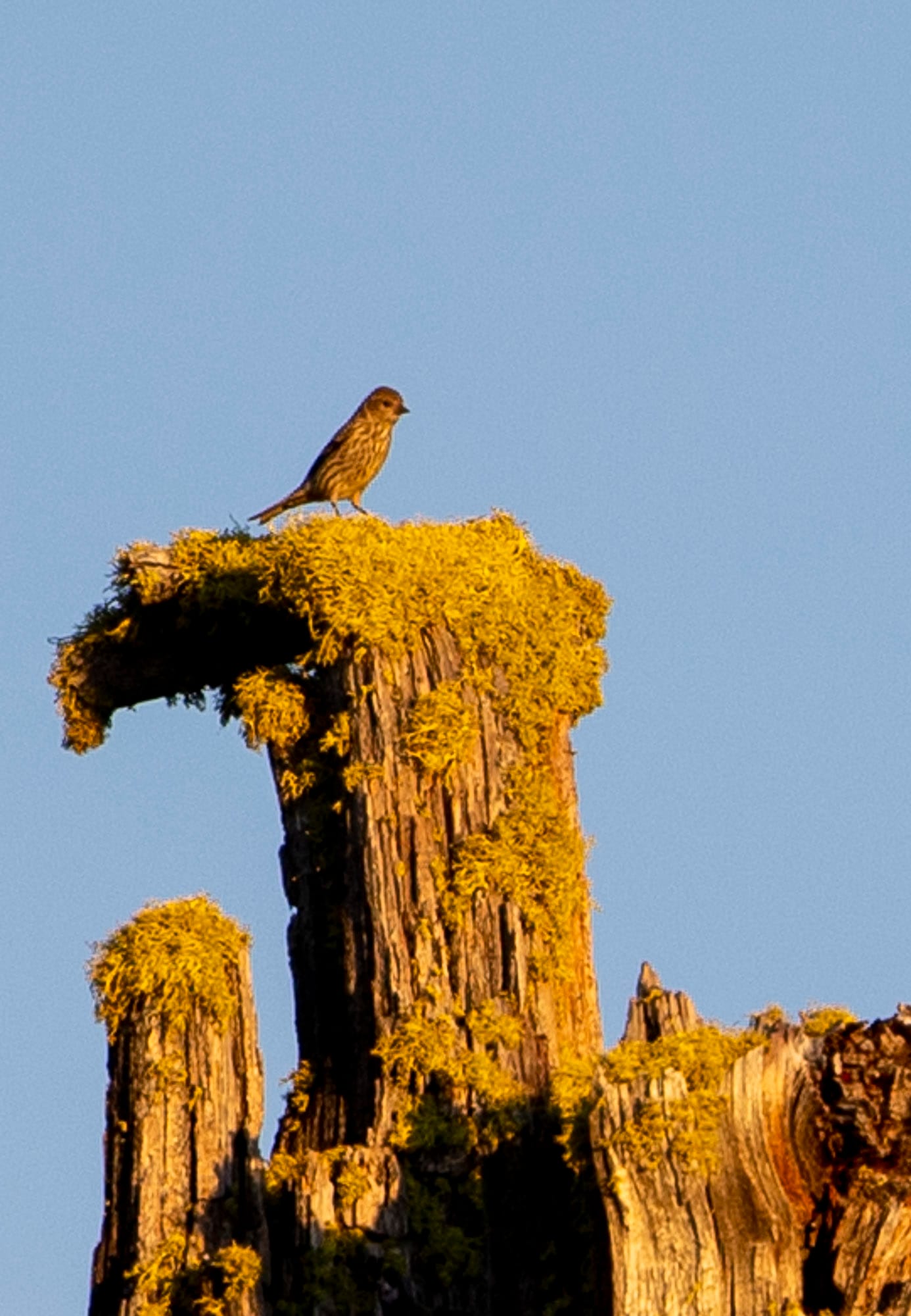
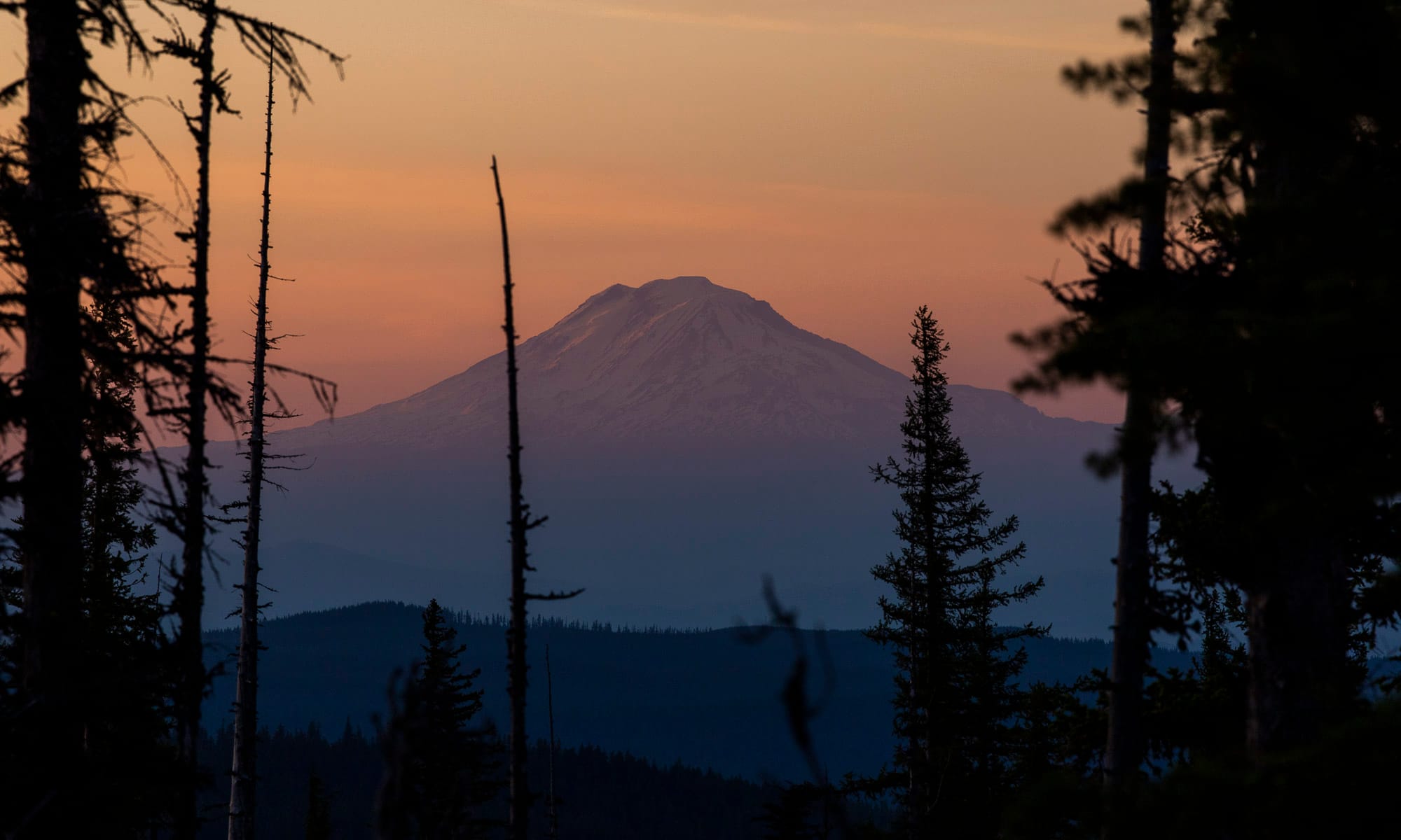
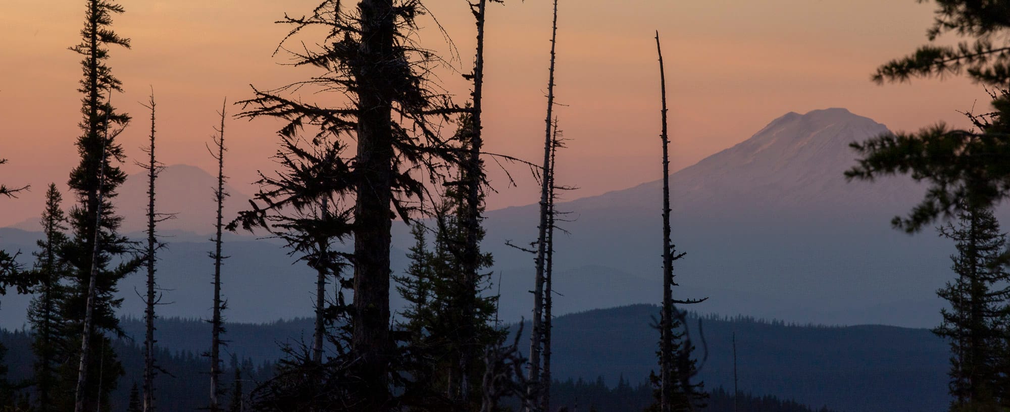
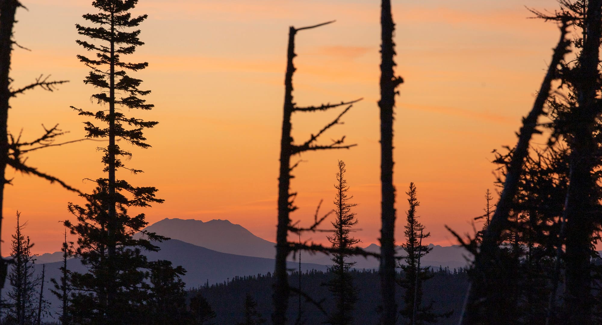
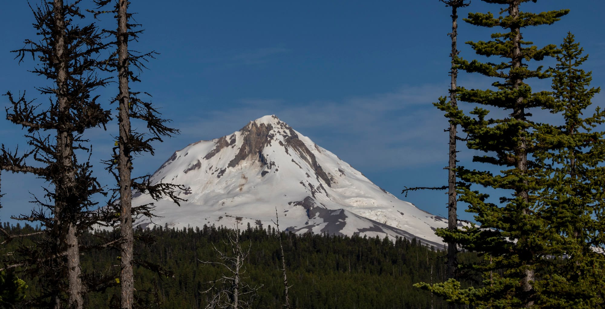
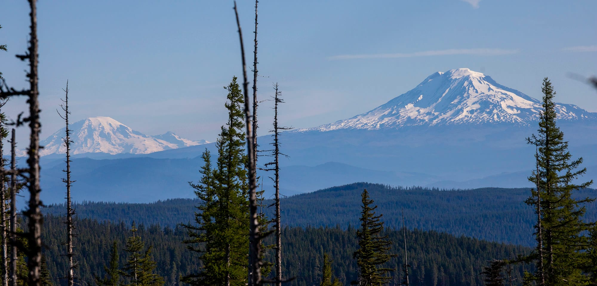
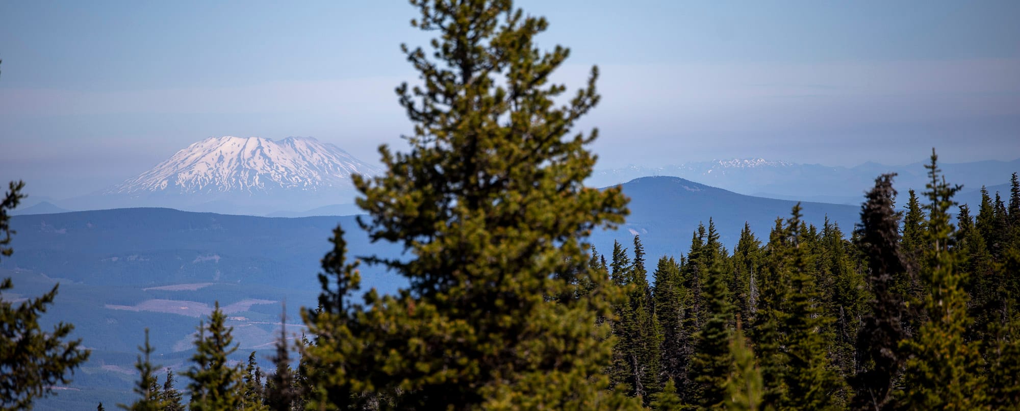
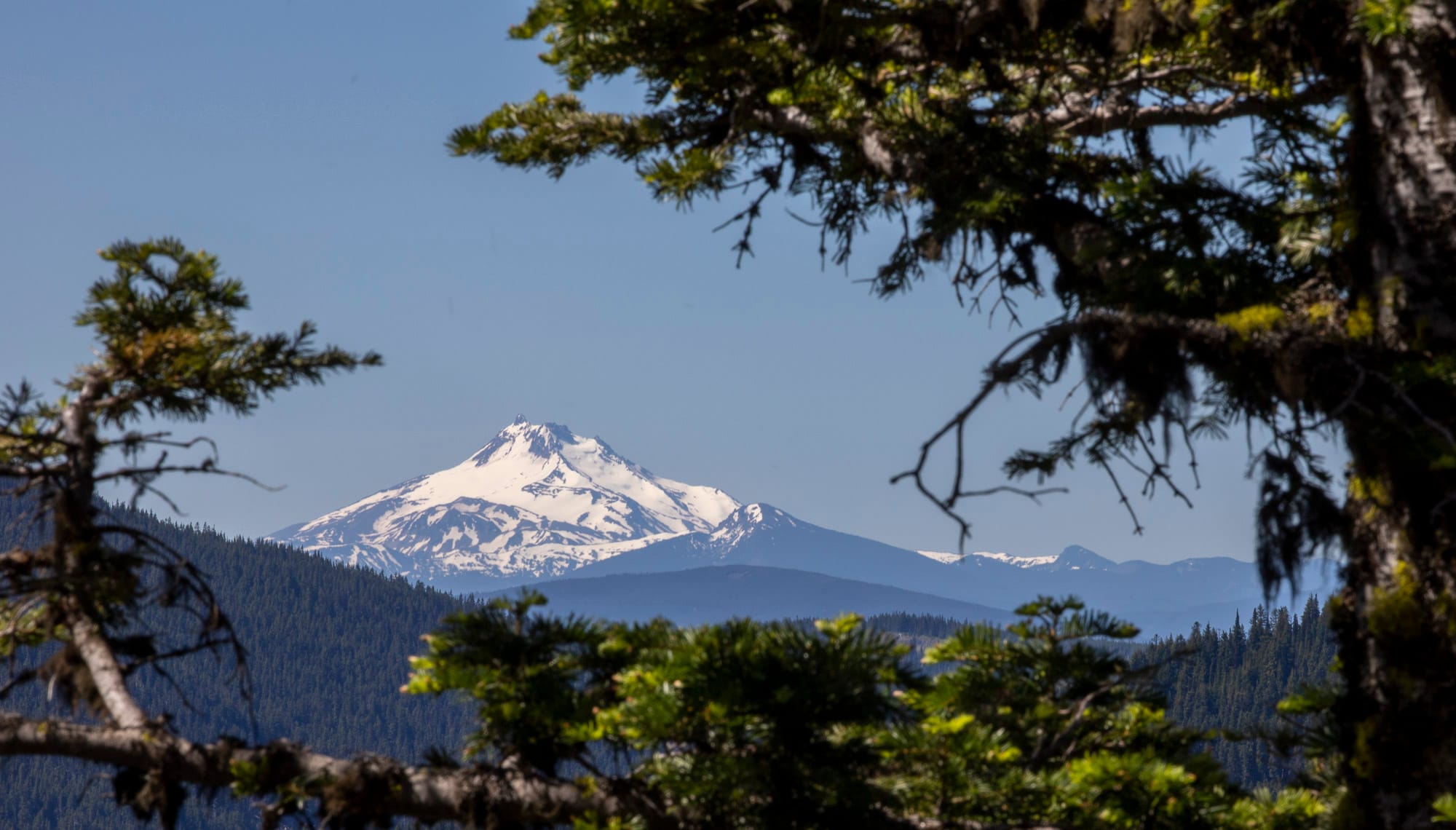
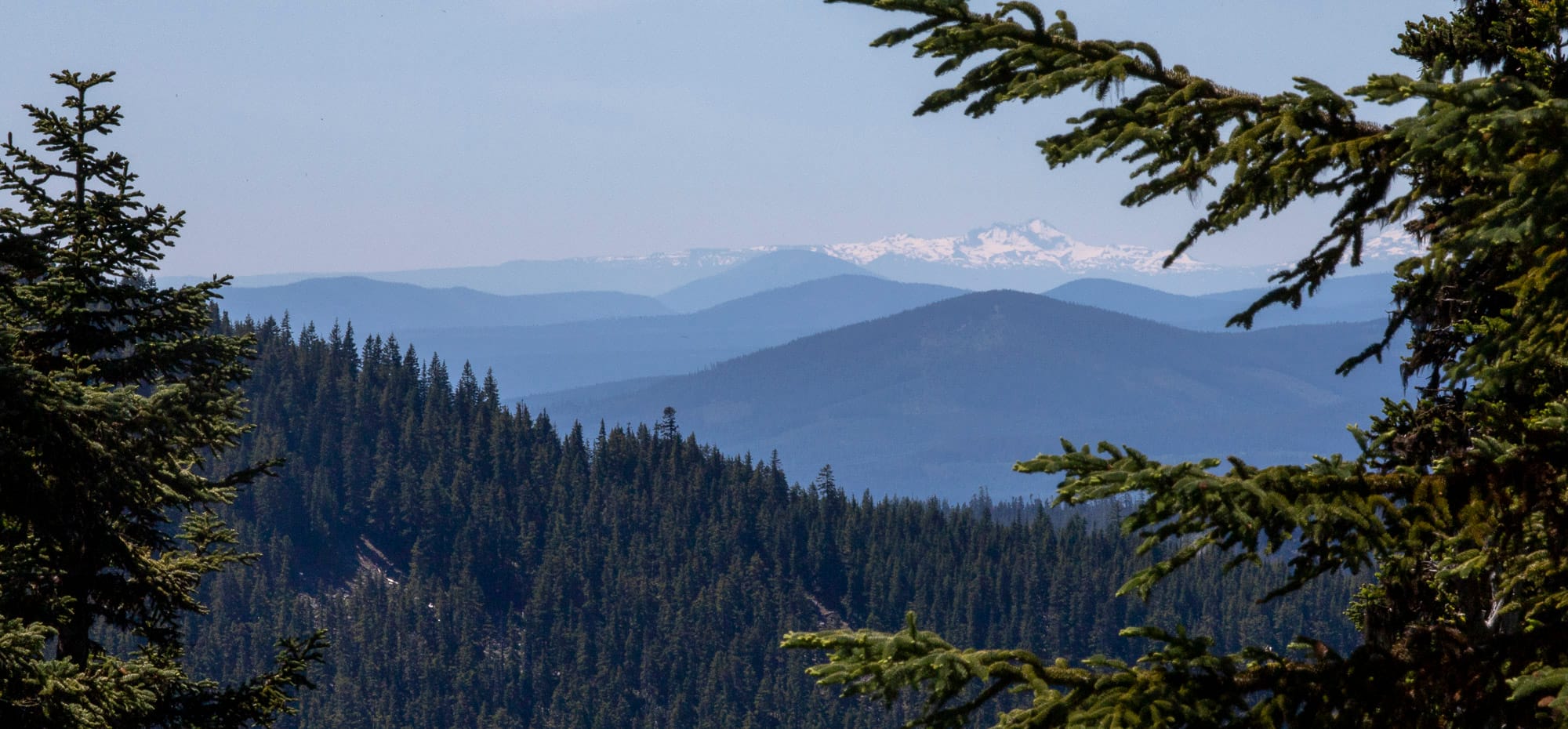
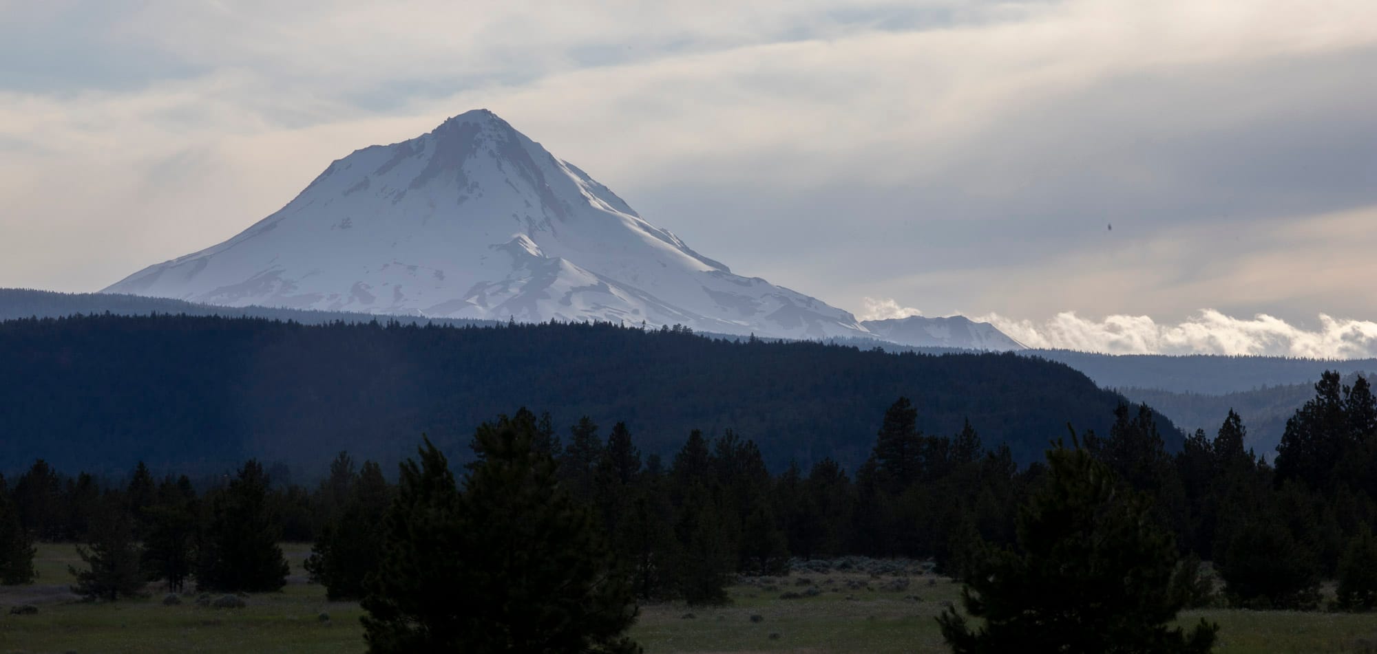
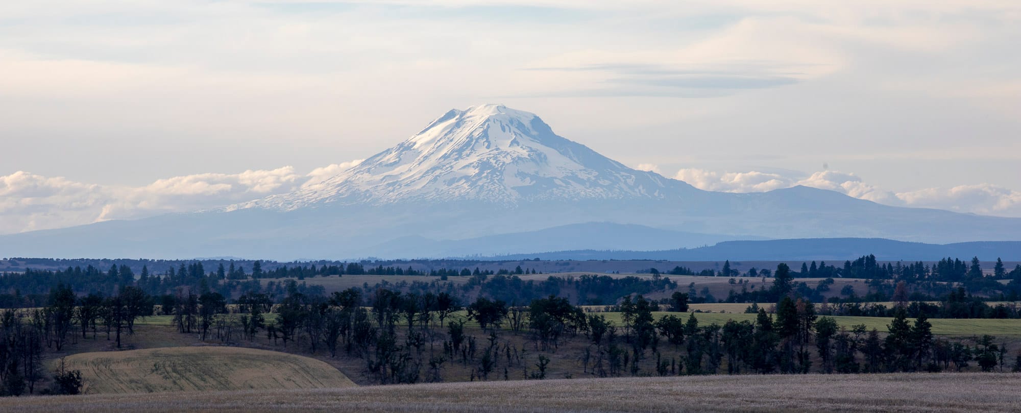
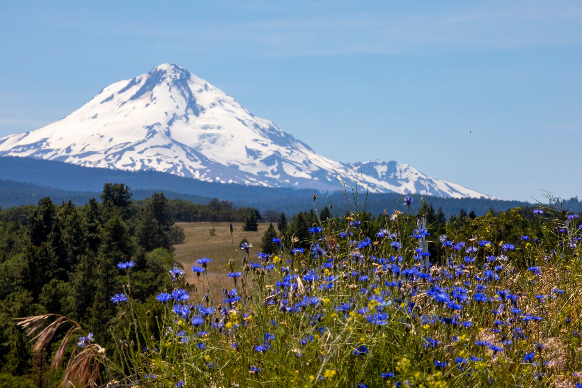
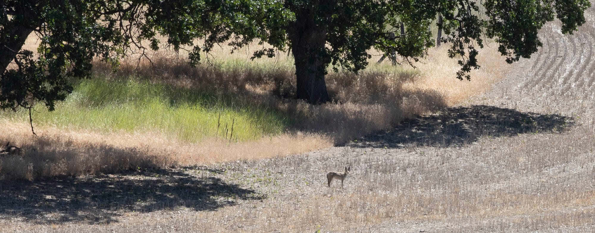
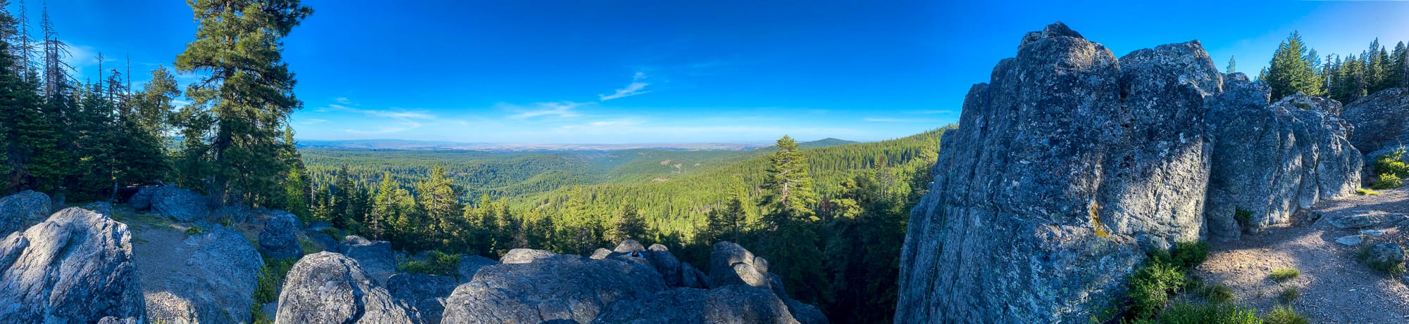
Although Fifteenmile trail went directly to the evening goal, it is quite steep single track along this section. I took a longer route via 2730-230 riding the edge of the ridge above Fifteenmile Creek and adjacent to Badger Creek Wilderness. Turning north rejoining NFDR 4420 and backtracking a bit, the upper side of Fifteenmile trail is a short hike-a-bike up to Eightmile Point. The Pine Bark Beetle has devastated the forest here. Earlier in the year, there were hundreds of trees across the trail, but 44 Trails Association cleaned this area up in less than a week in early June. Well, the beetle has opened up the views from this hideaway. Wy’East, Klickitat, Loowit, Takoma and Wasco County palouse country fill the horizon.
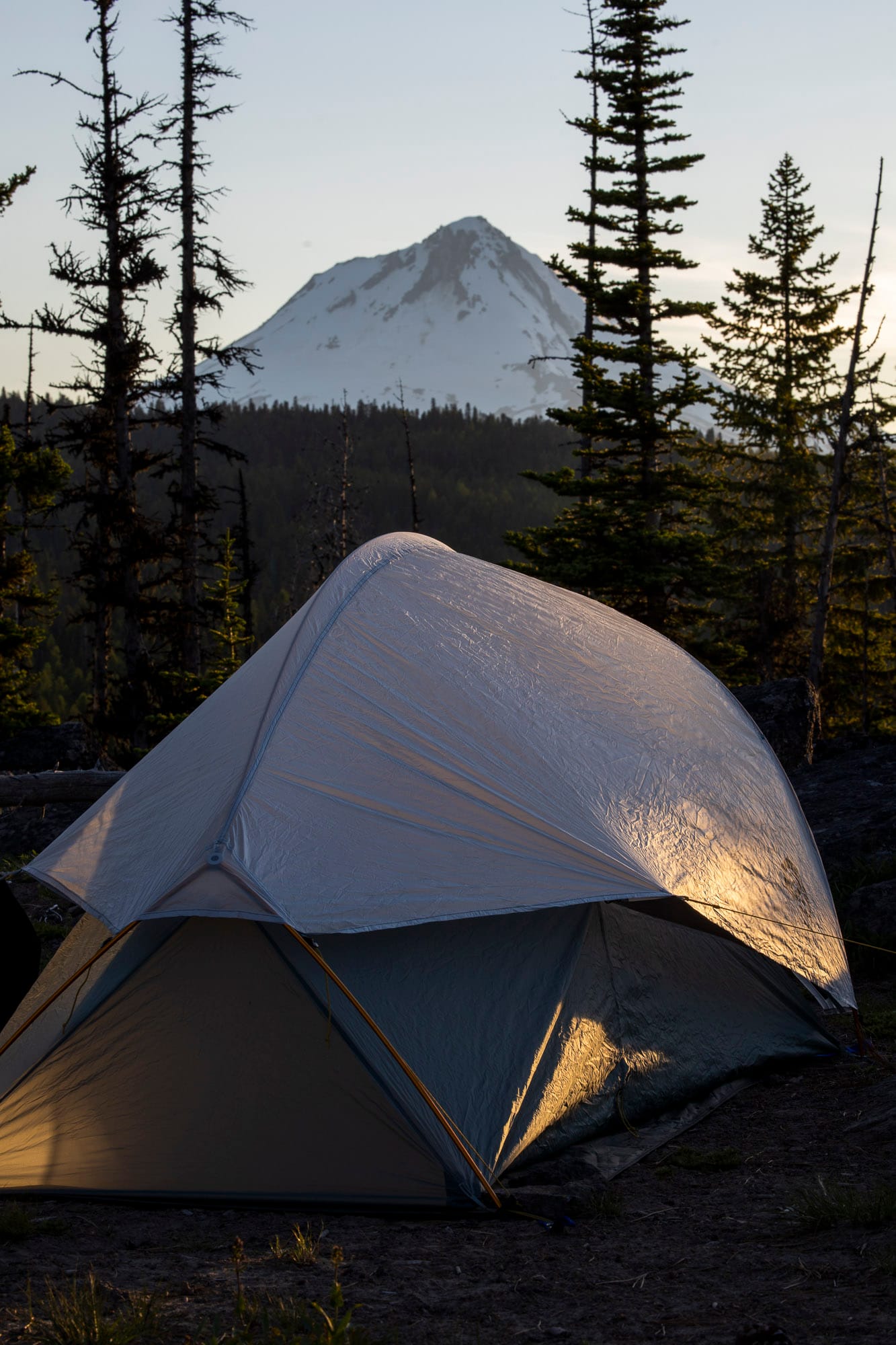
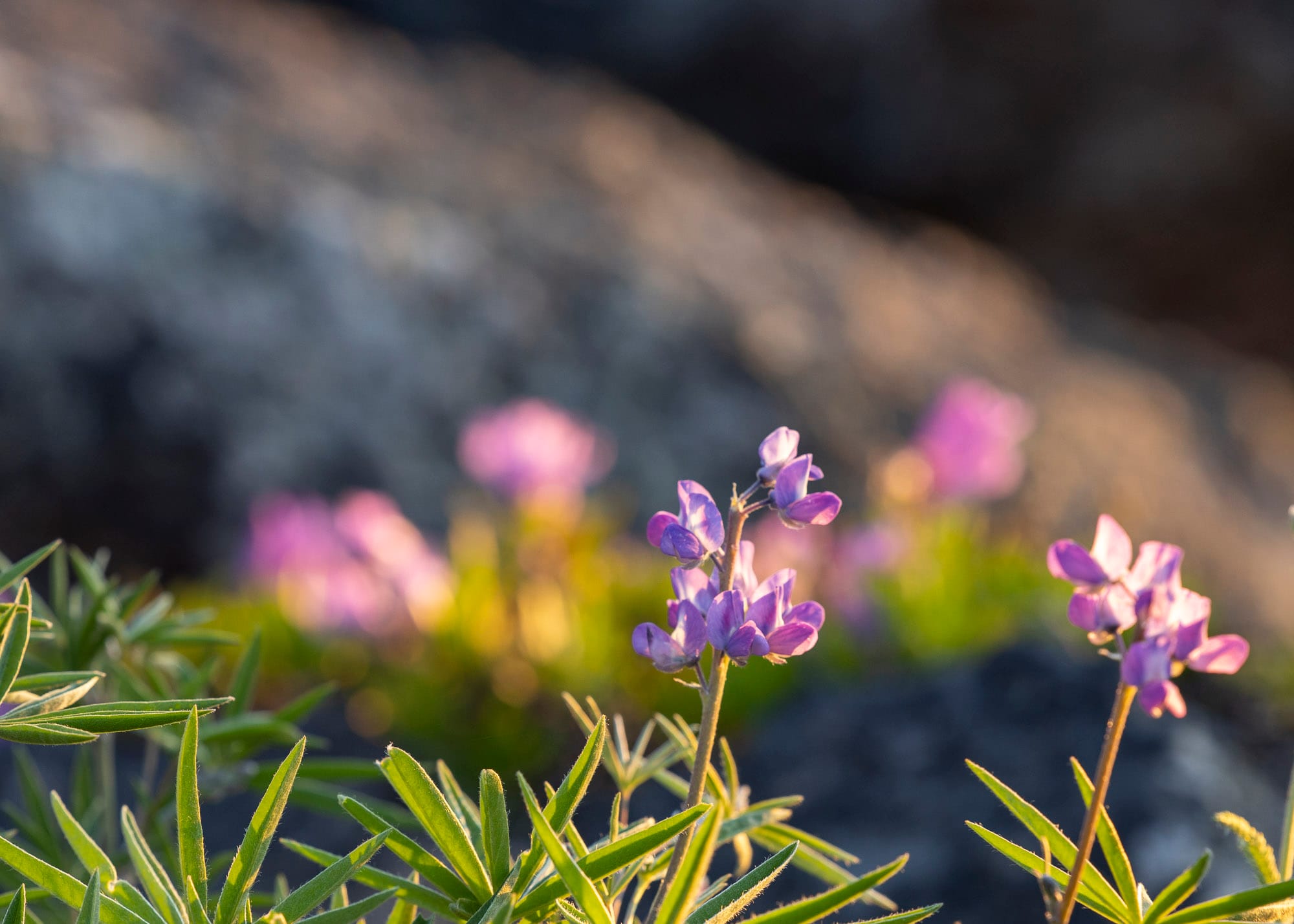
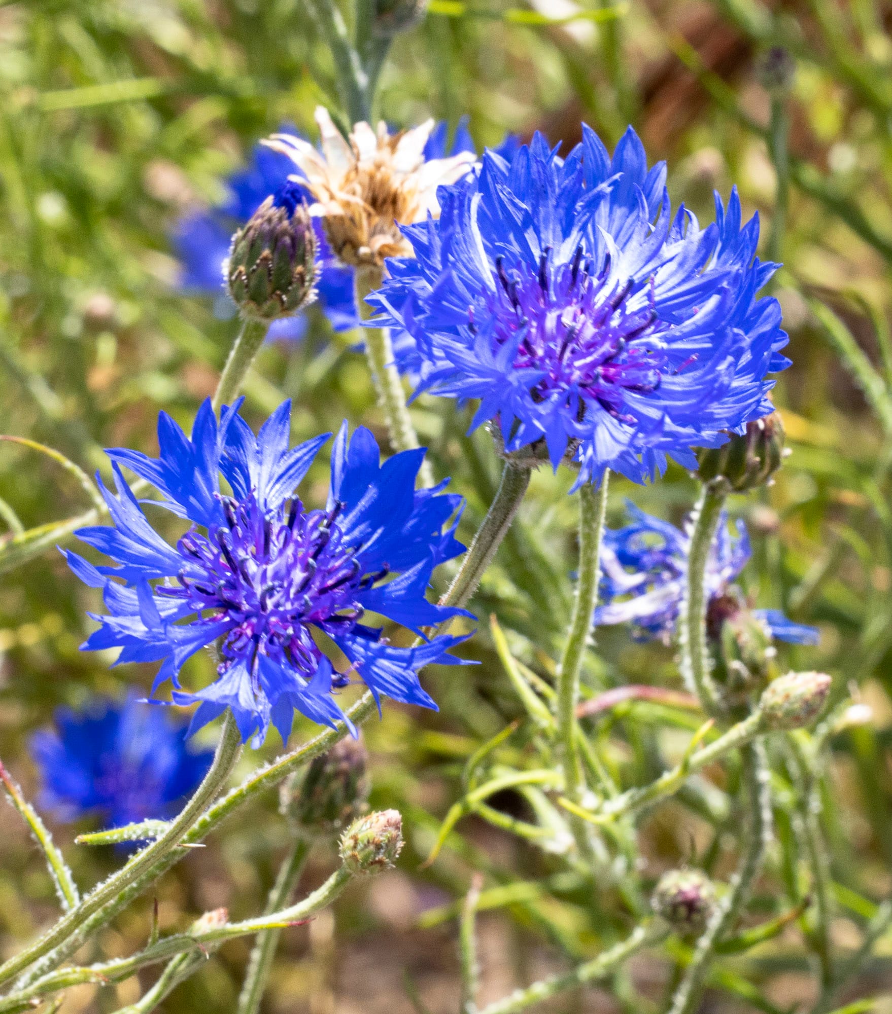
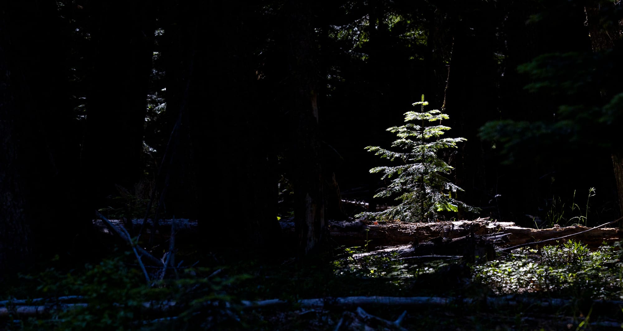
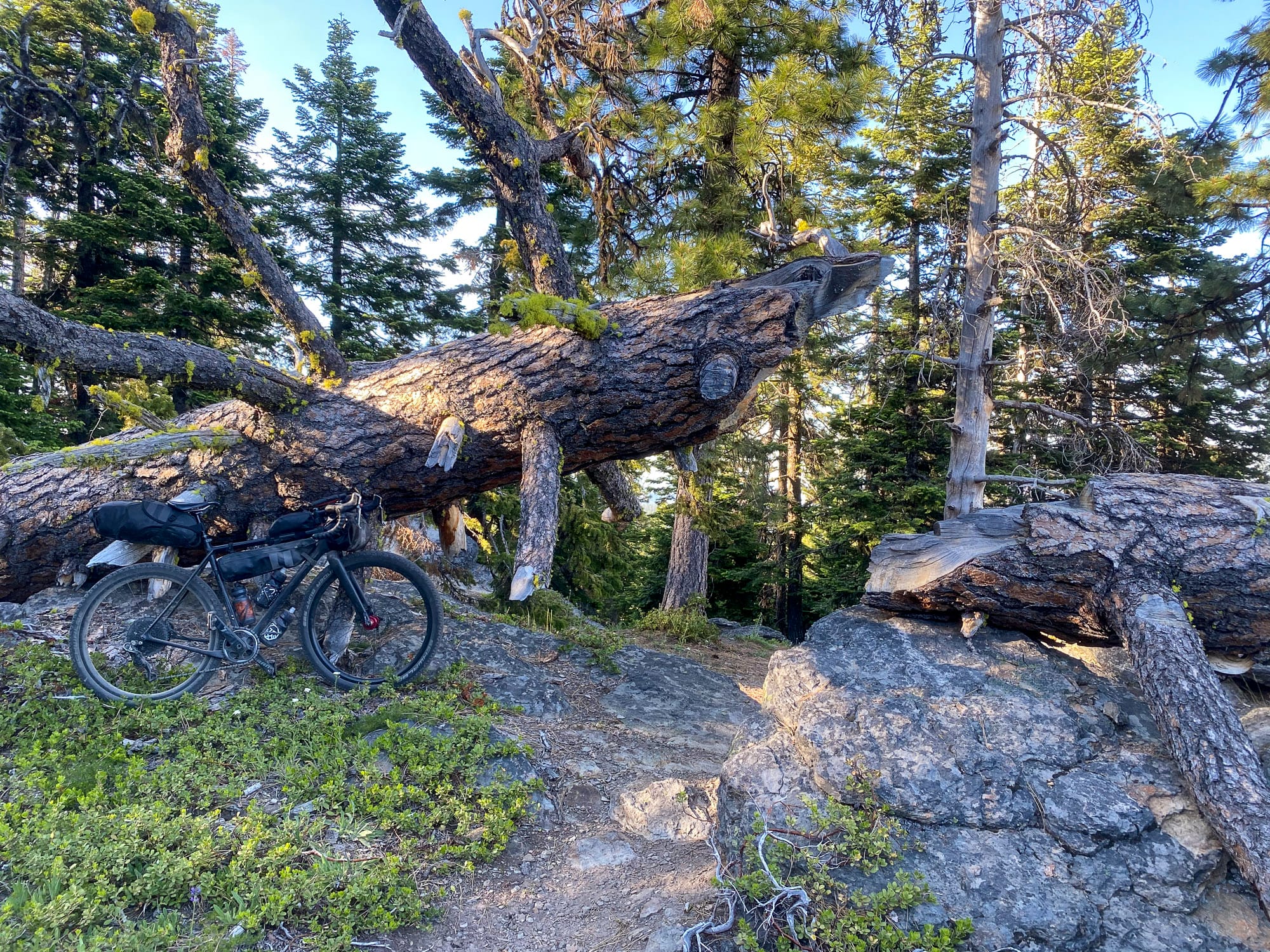
Camp is pristine rock outcroppings, surrounded by dried and downed pine trees interspersed with wildflowers.