Cougar Creek

Ochoco Mountains, Oregon
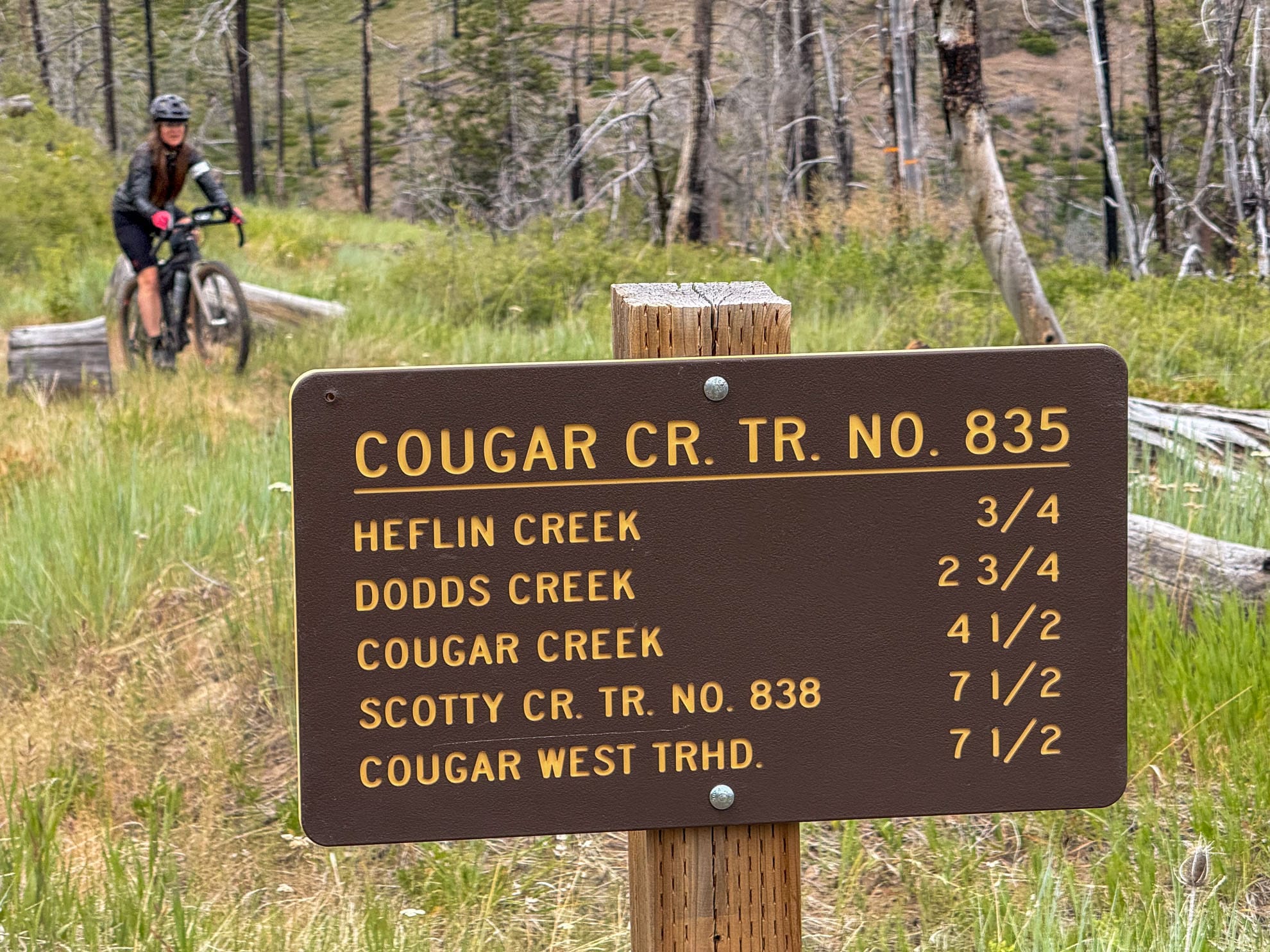
Trail #835
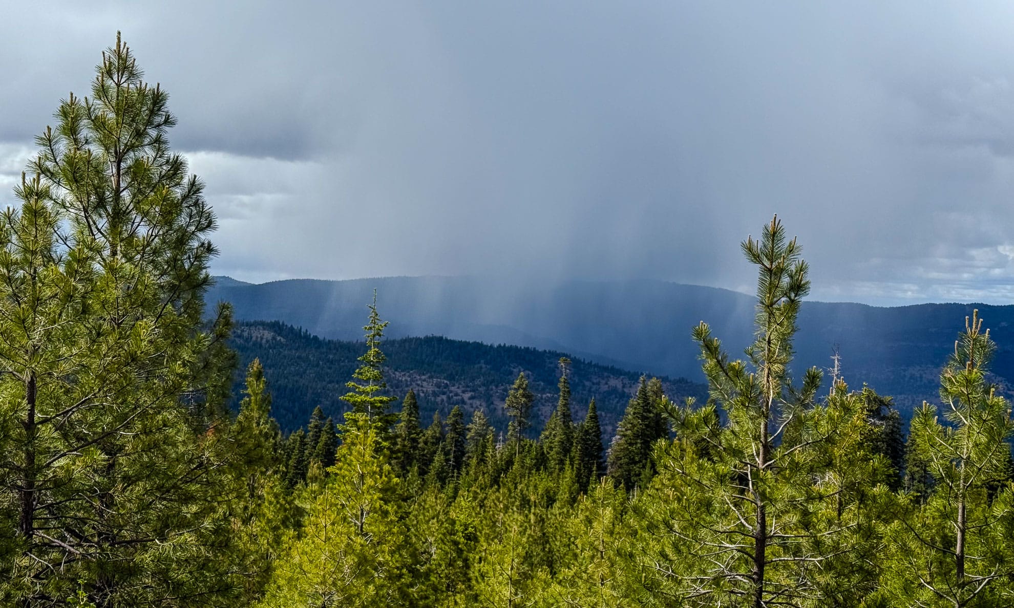
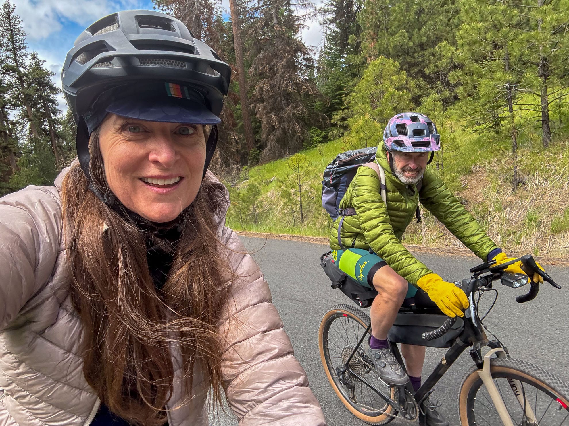
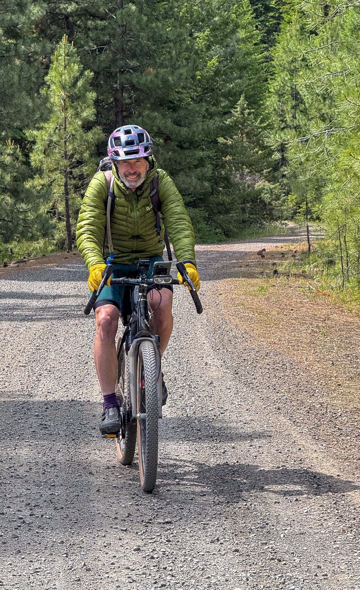
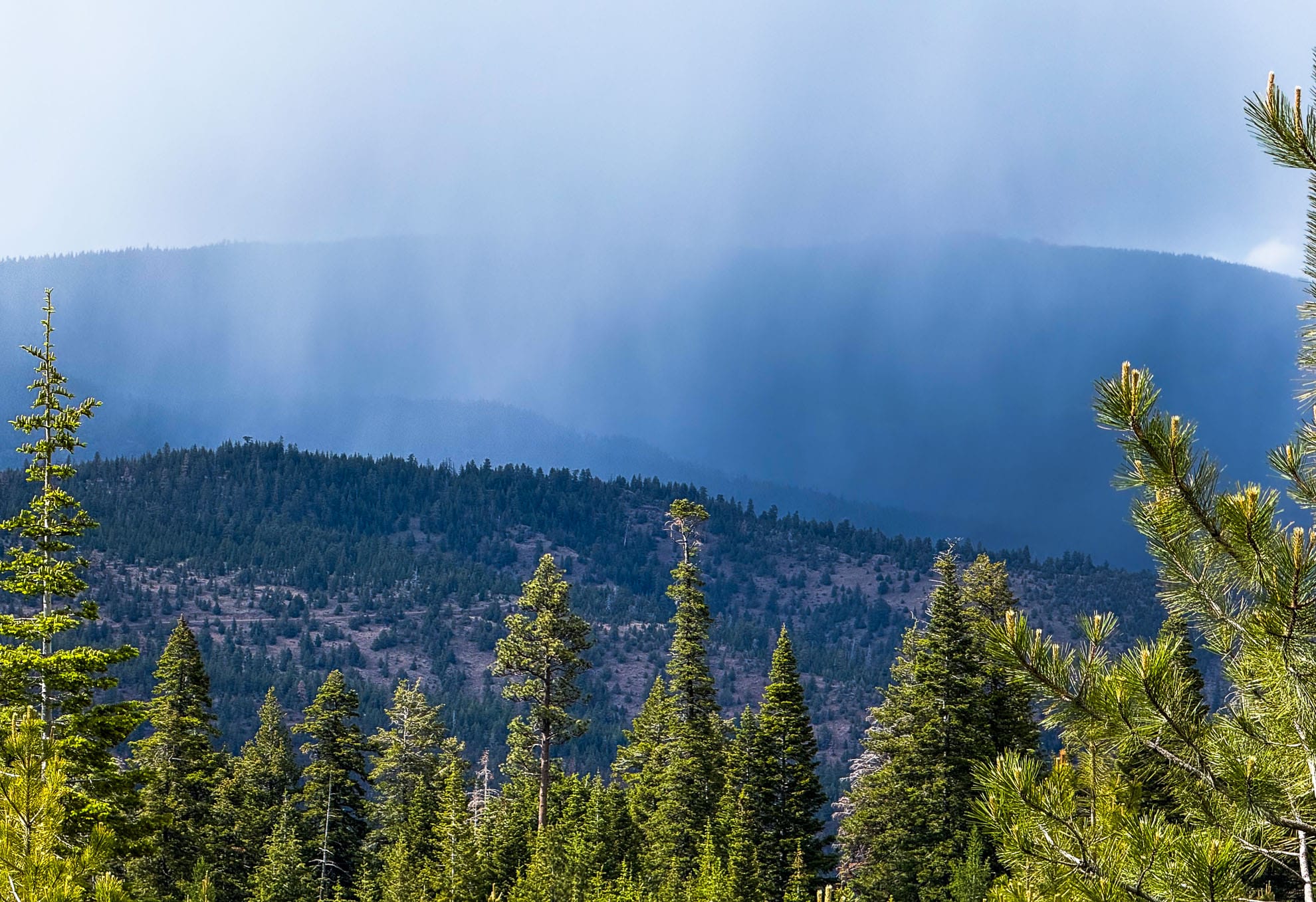
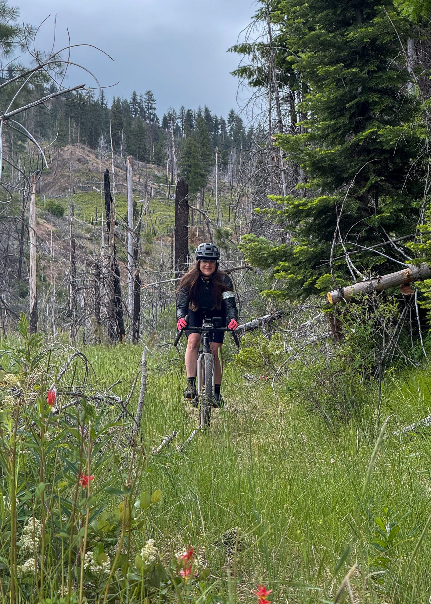
Swami said, don't miss Cougar Creek. We stopped at Good Bike Co in Prineville and changed our plans after his advice and he's right, this is a scenic, flowing descent not to miss. We rode Cougar Creek trail west, all downhill by starting in the middle at the apex, returning by forest service road and then later returning to the apex and riding east back to 26 and our camp. Our base camp is Ochoco Divide campground, convenient and safe and well stocked with firewood for an evening campfire. We needed it. It snowed on the summer solstice here.
Type of rides: Trail descents, gravel road climbs, car camping base out of Ochoco Divide Campground
Date ridden: Summer Solstice, June 19 - 21, 2025
Distance logged: 46 km & xx km on 2 rides over 4 days
Elevation Gain: 2500 meters

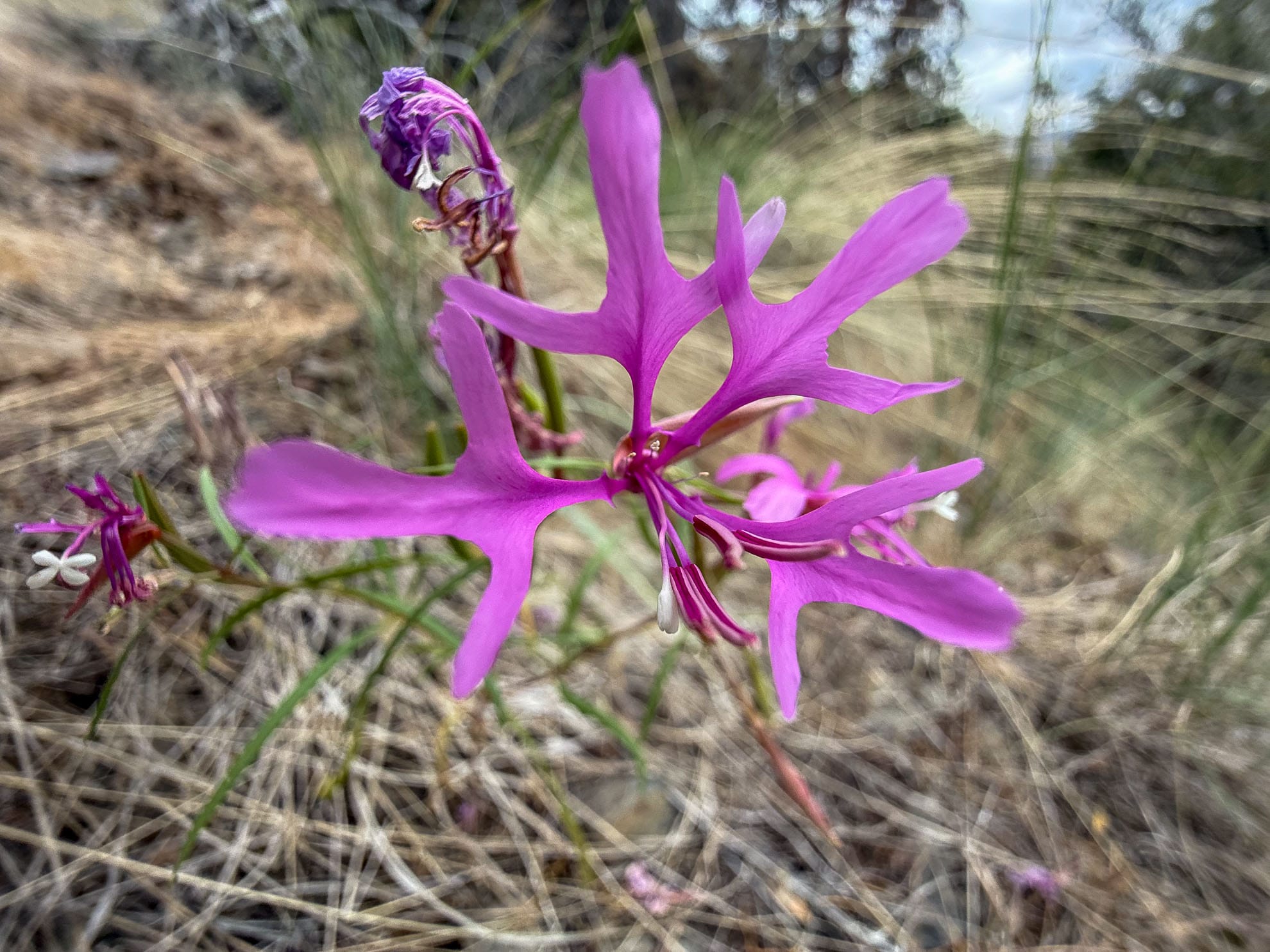
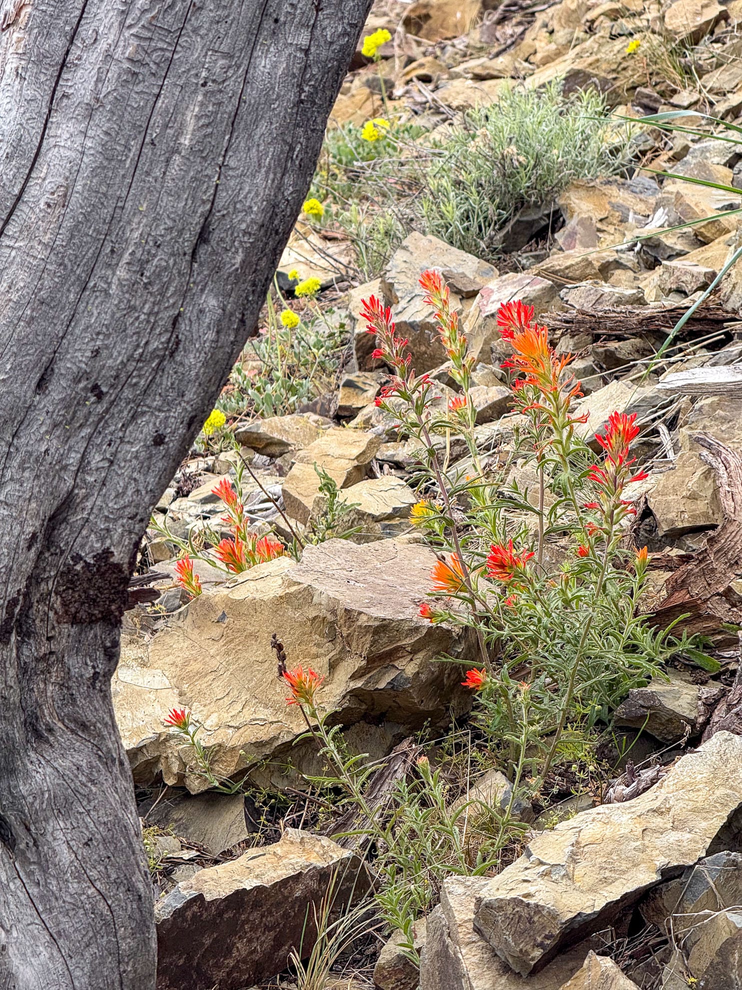
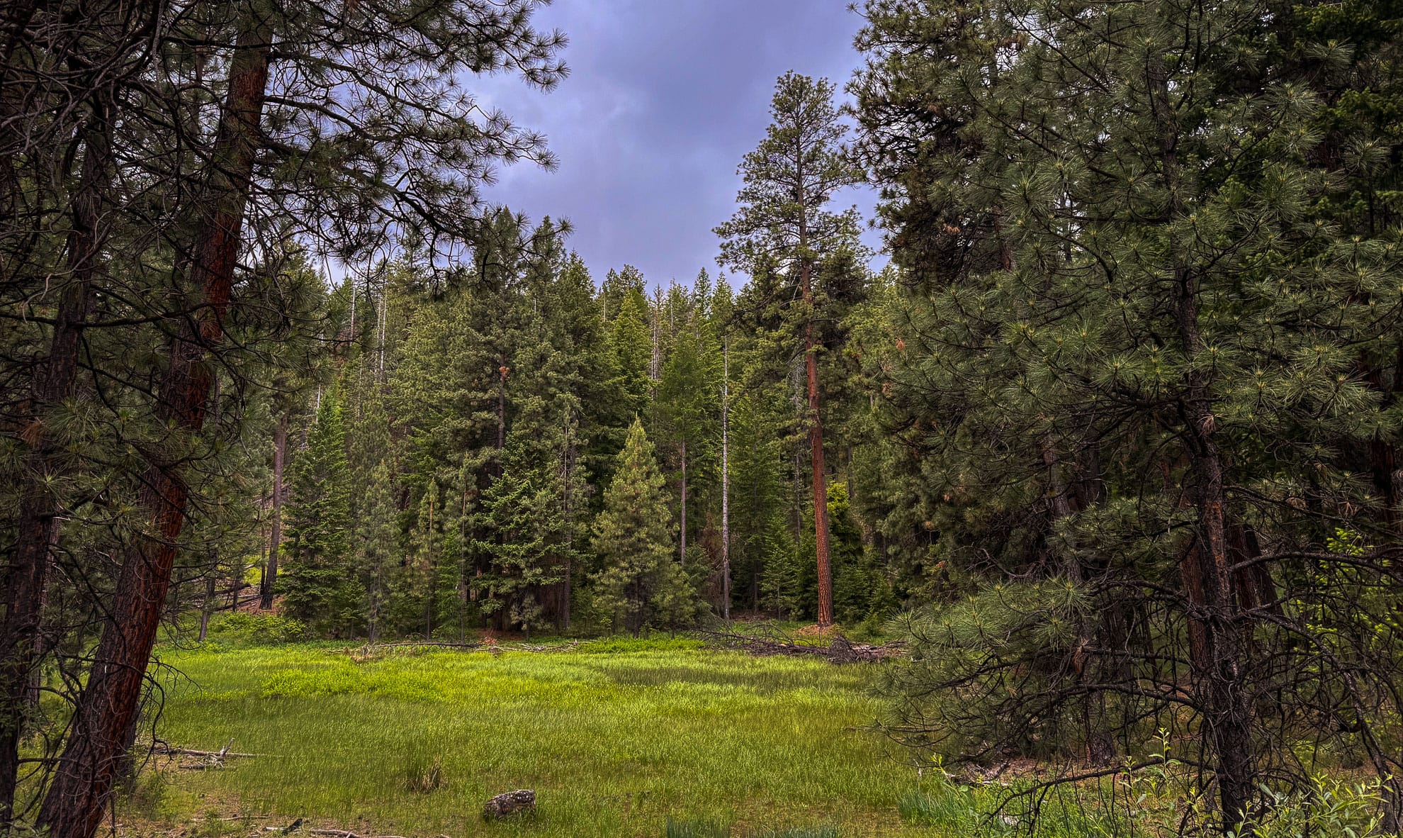
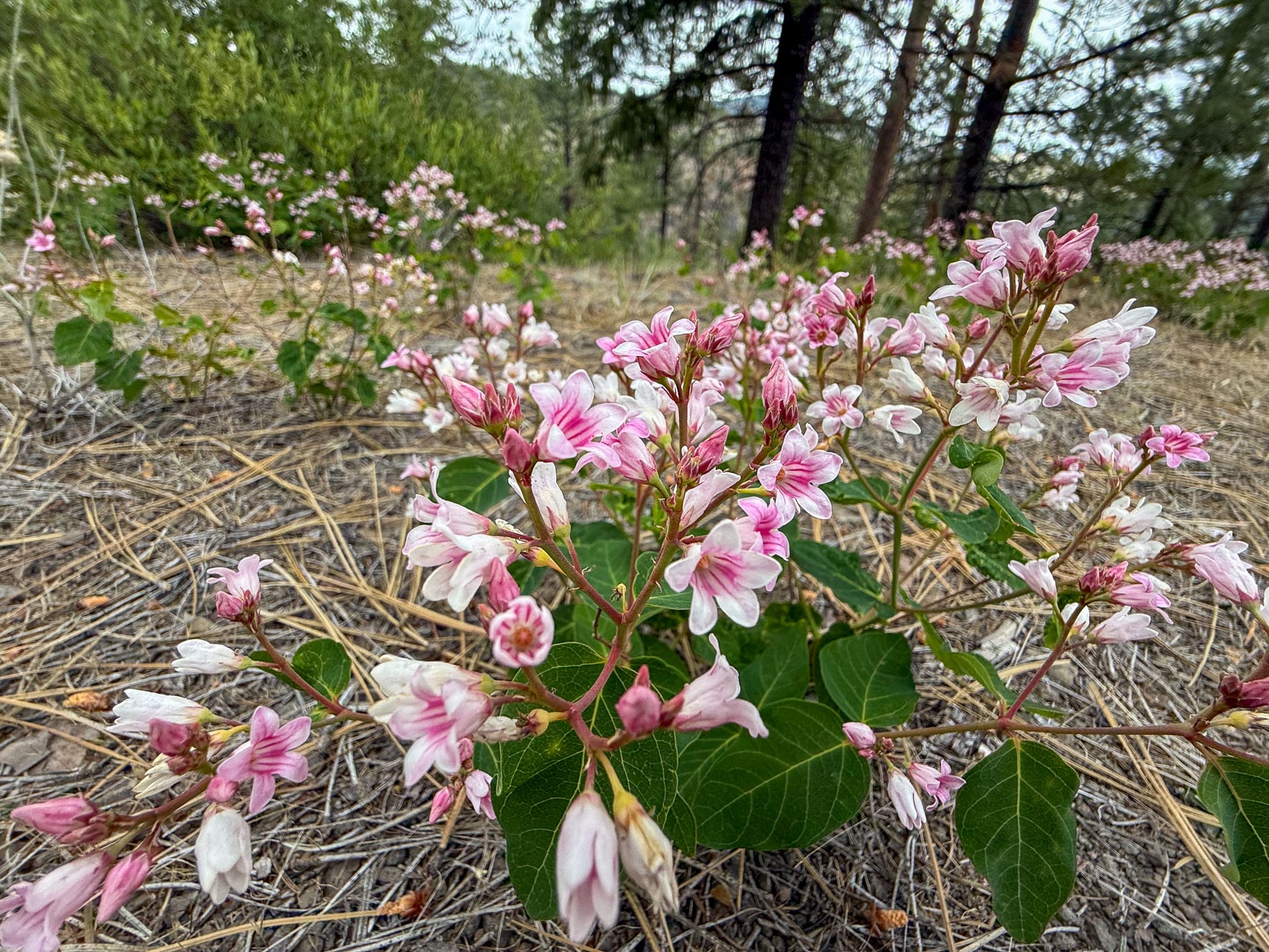
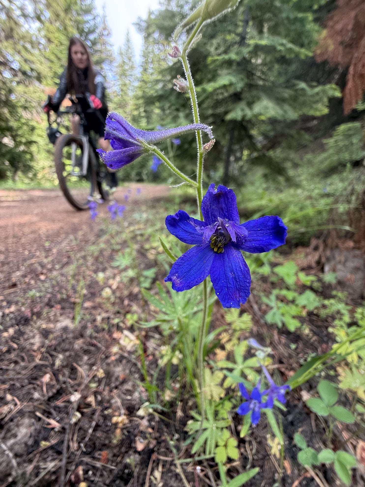
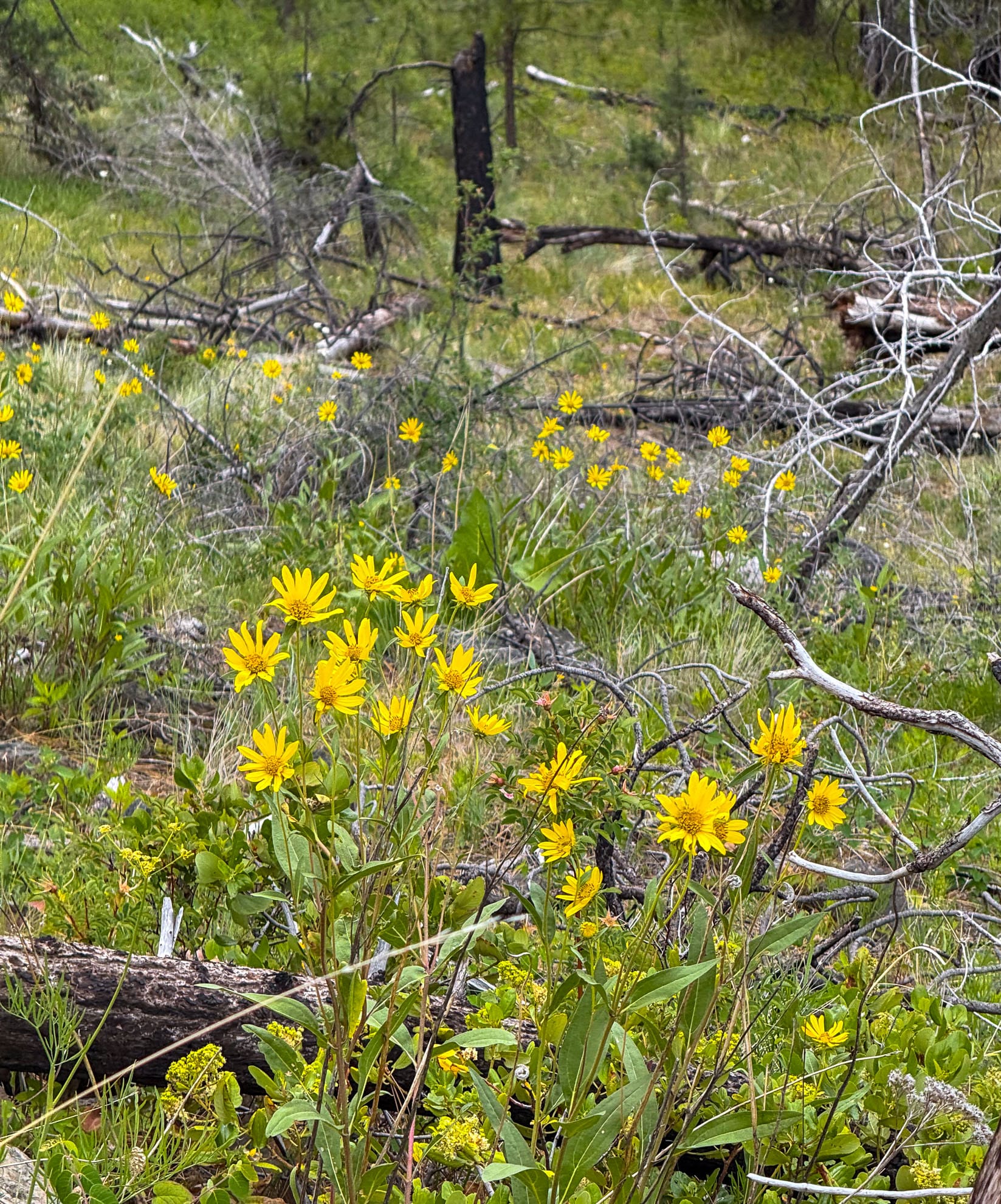
We use Forest Service Road 27 and 2730 to reach the apex of Cougar Creek trail. Then it is a winding descent west. Wild flowers are tucked everywhere.
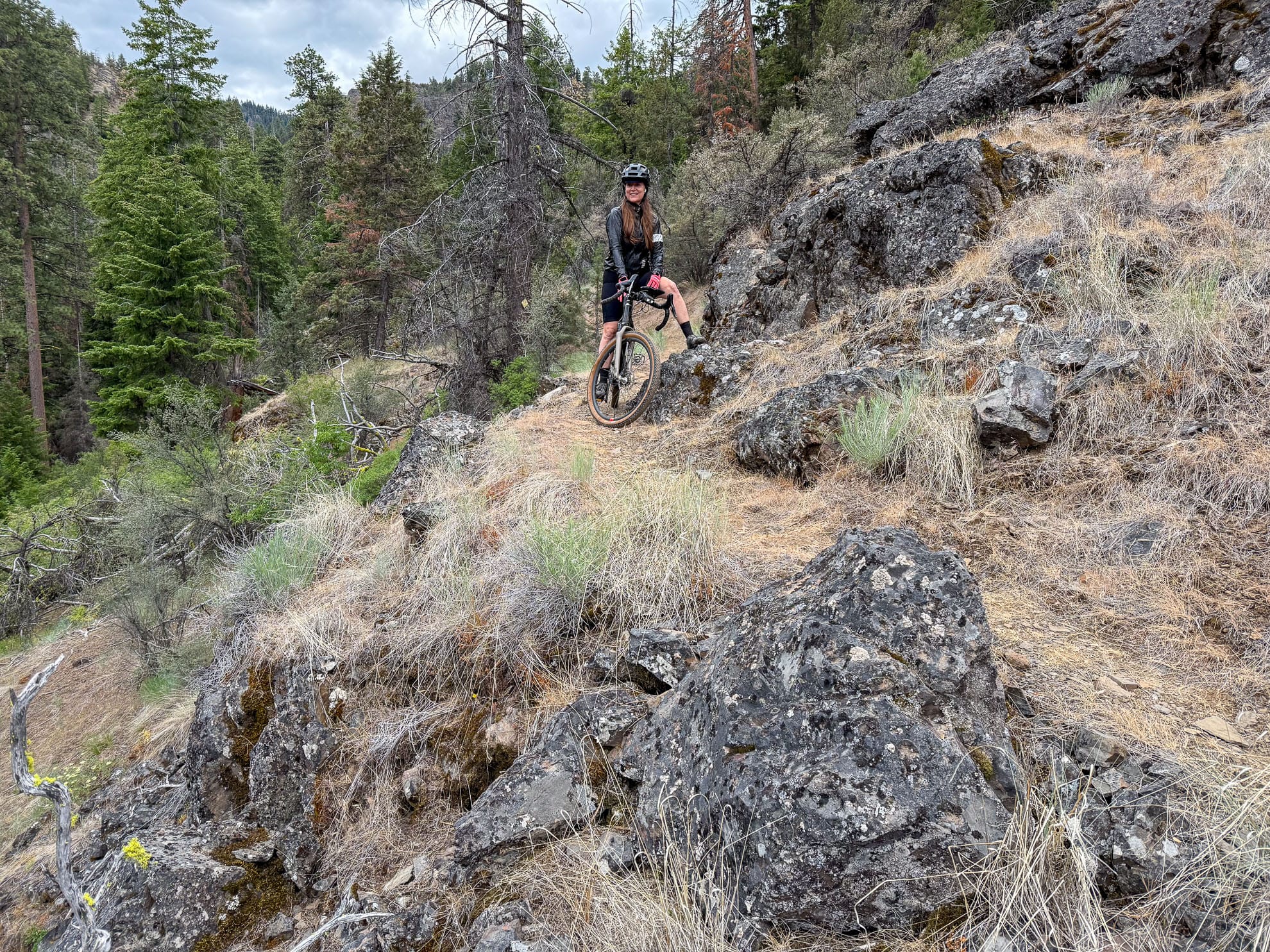
Cougar Creek Trail, Ochoco Mountains, Oregon
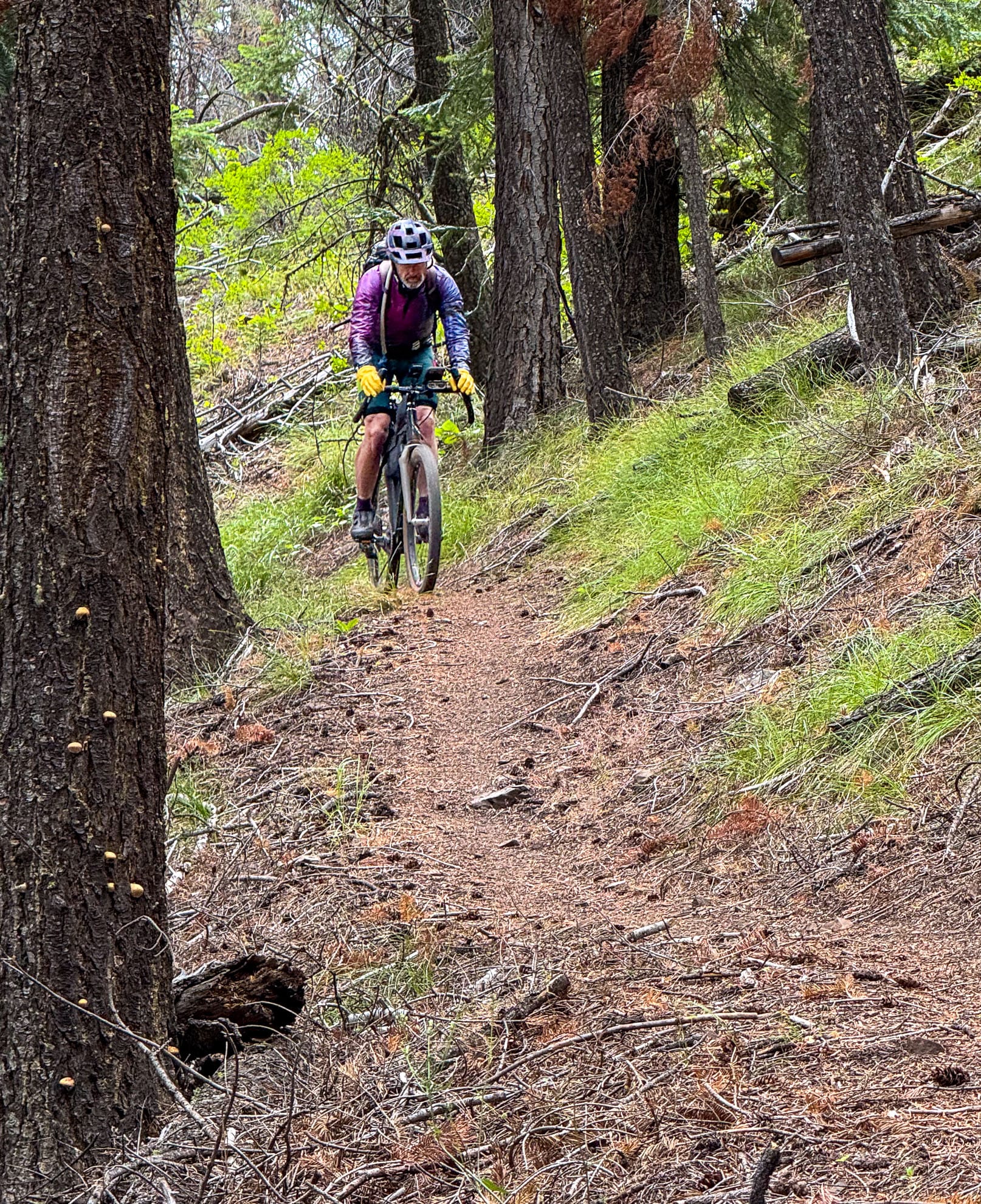
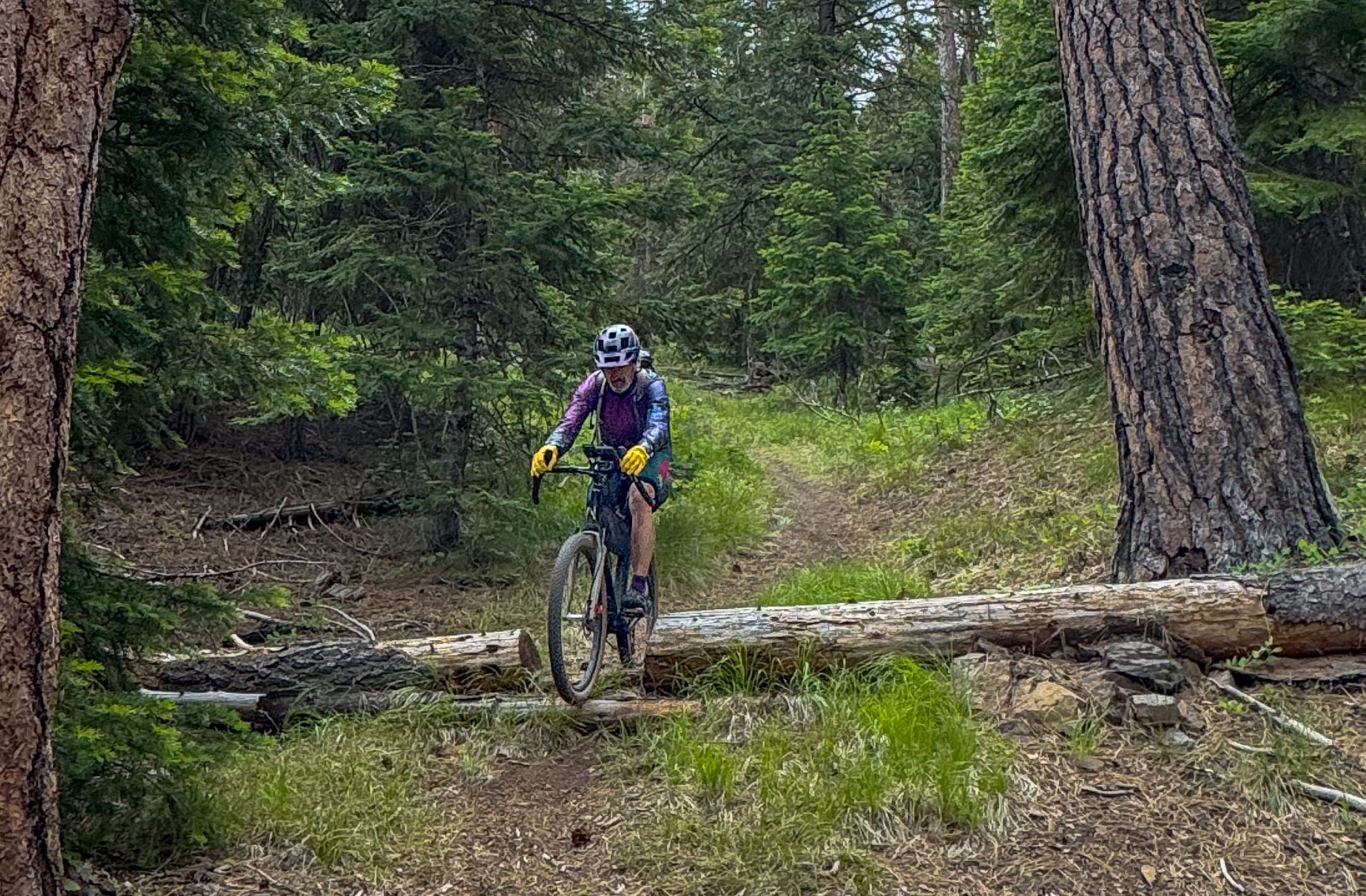
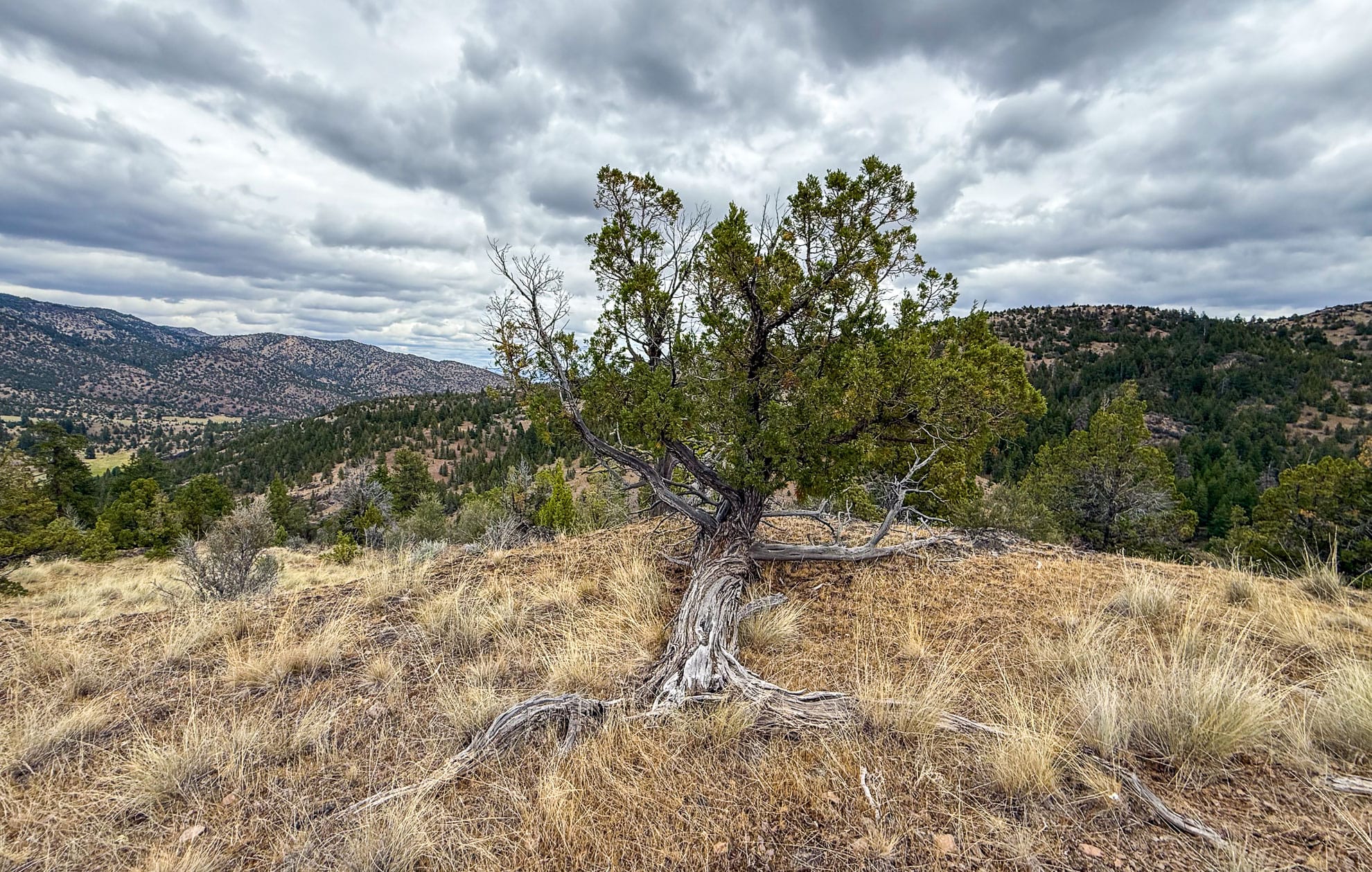
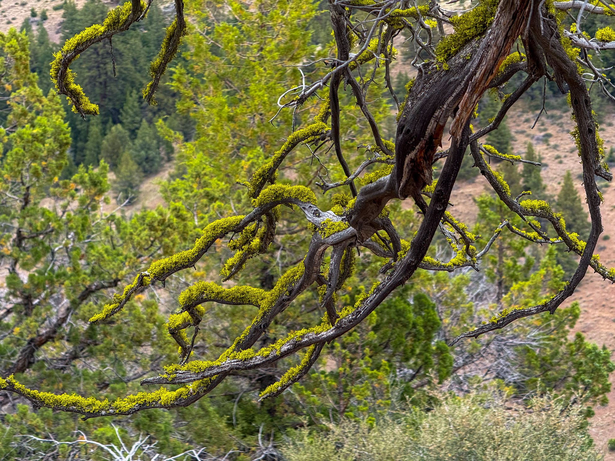
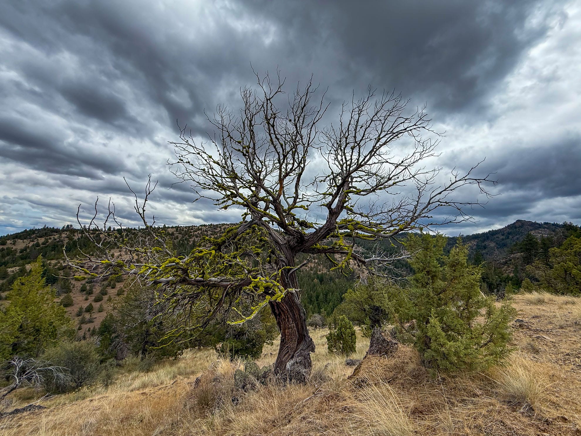
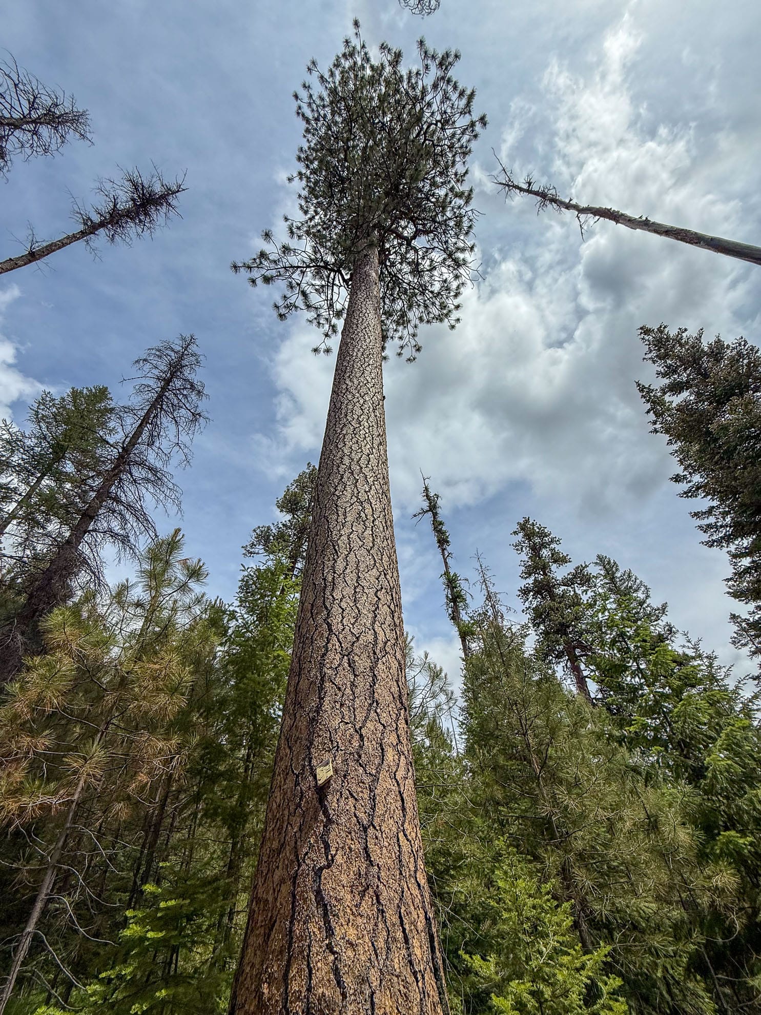
COTA has recently cleared all the winter downfall. After crossing Cougar Creek and skirting a ridge we found an old growth Juniper forest for lunch. It is a bonsai village!
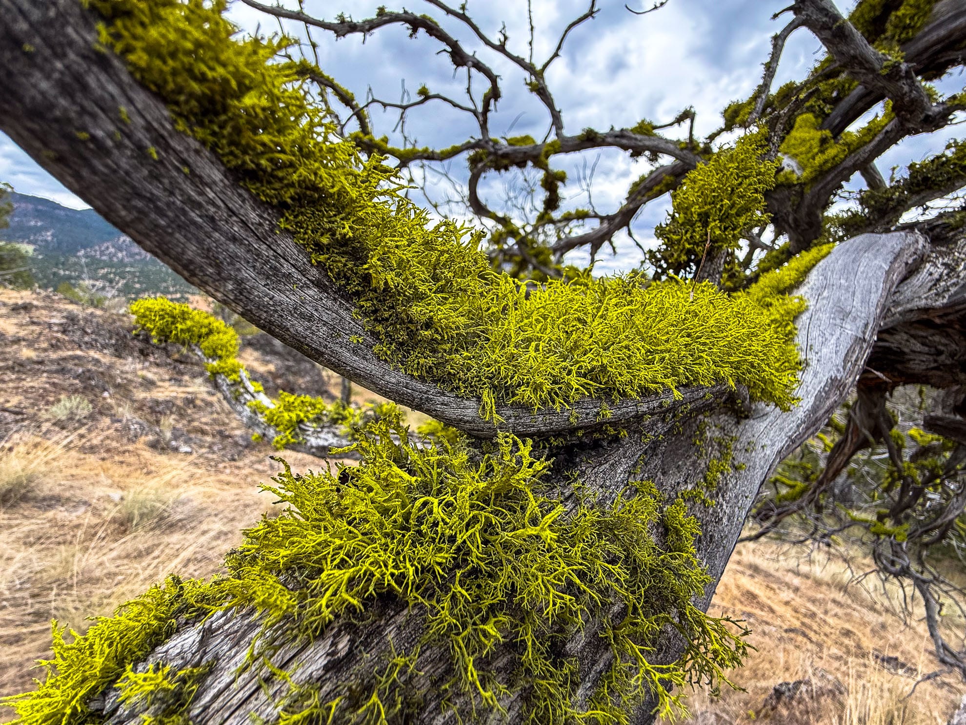
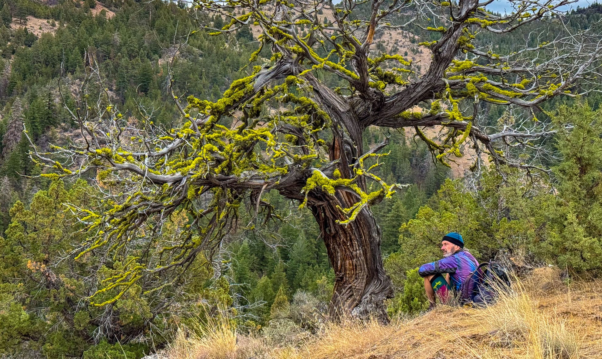
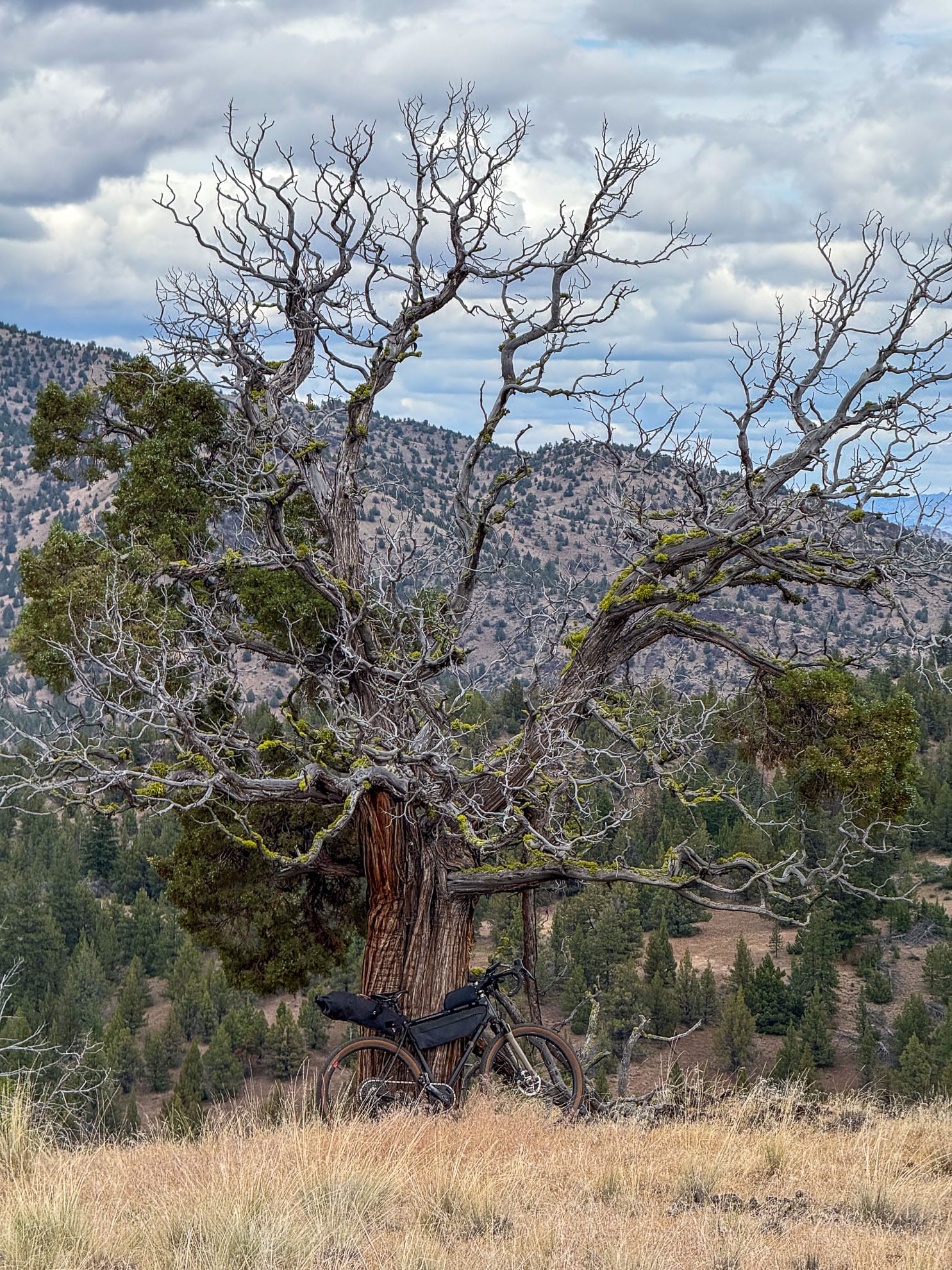
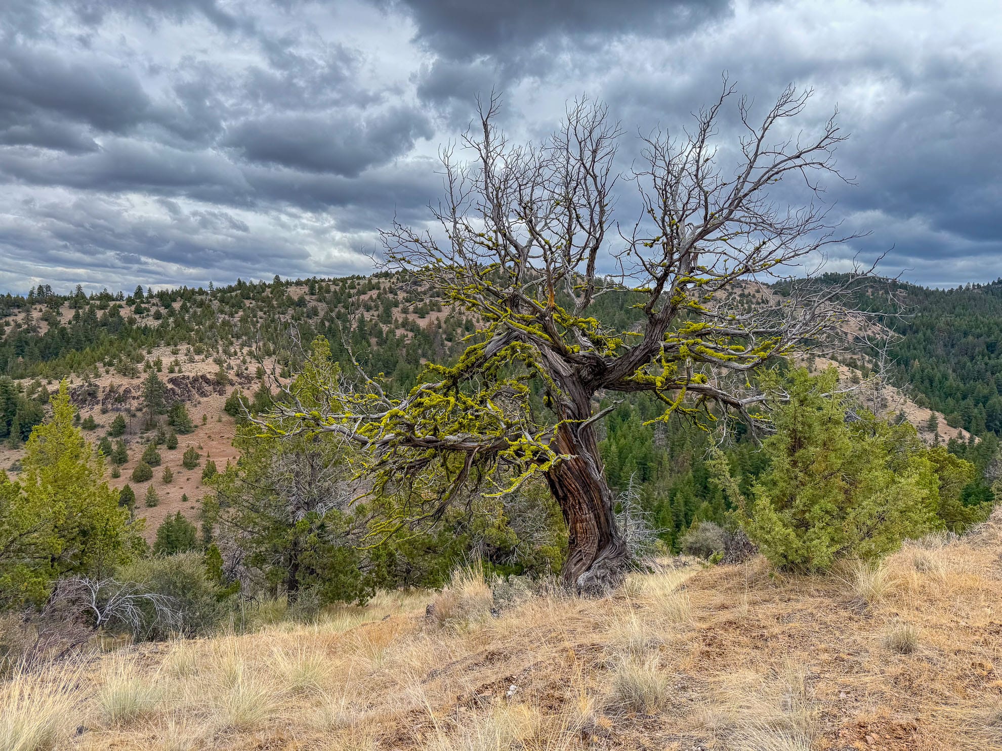
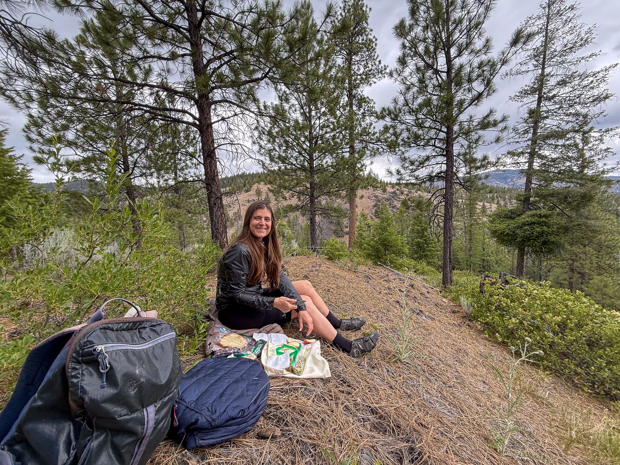
Lunch stop among ancient Juniper trees, mid-descent on Cougar Creek Trail.
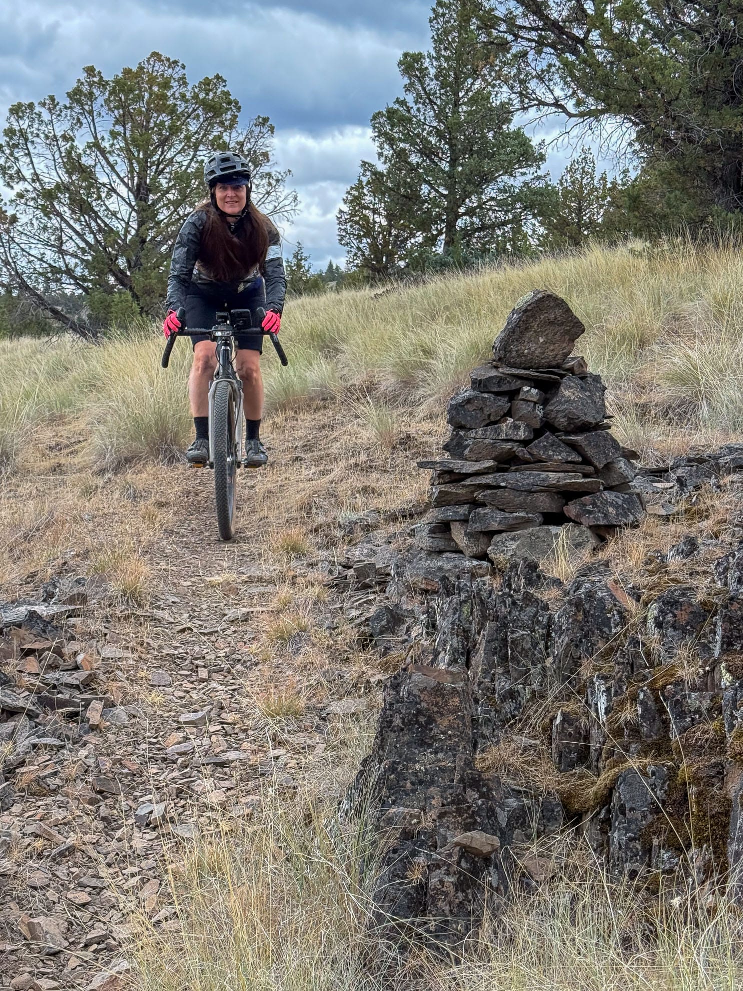
Meadows, roadside wildflowers and following the cairns
Part of exploration is sometimes hitting a dead end. This time it was a political one with No Trespassing signs blocking all of the forest roads and trails. Bushwacking would have been miserable to get around the private, barbed wire fenced land. But I had a quick Look across Bear Creek.

The road we returned on was predominantly 5%, but there were a few segments above 15%.
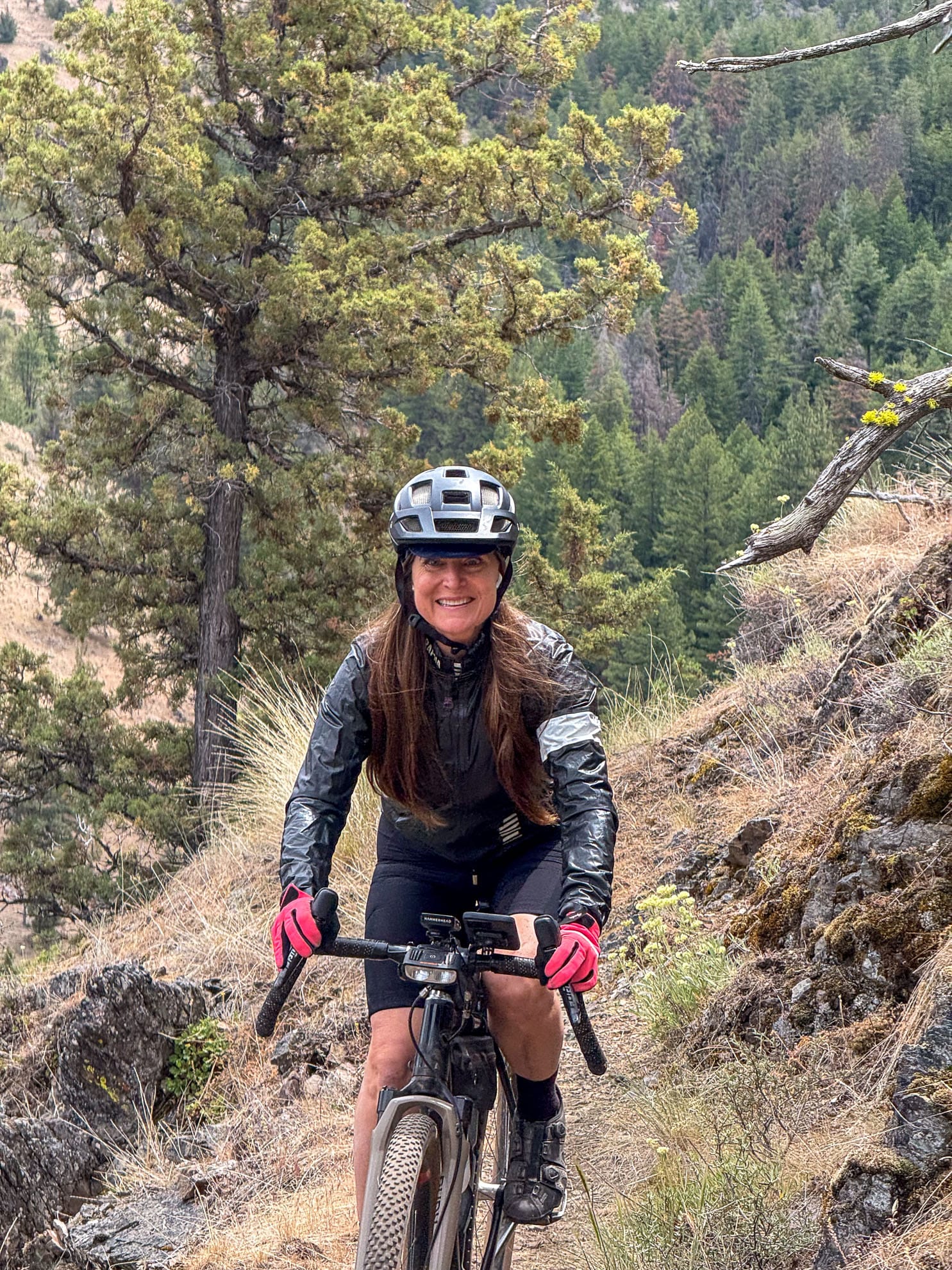
Cougar Creek East
The next day we completed Cougar Creek trail by riding downhill on the east segment back to highway 26. Easy descent, fun riding and you enter the 2014 Bailey Burn where you can see nature recovering.
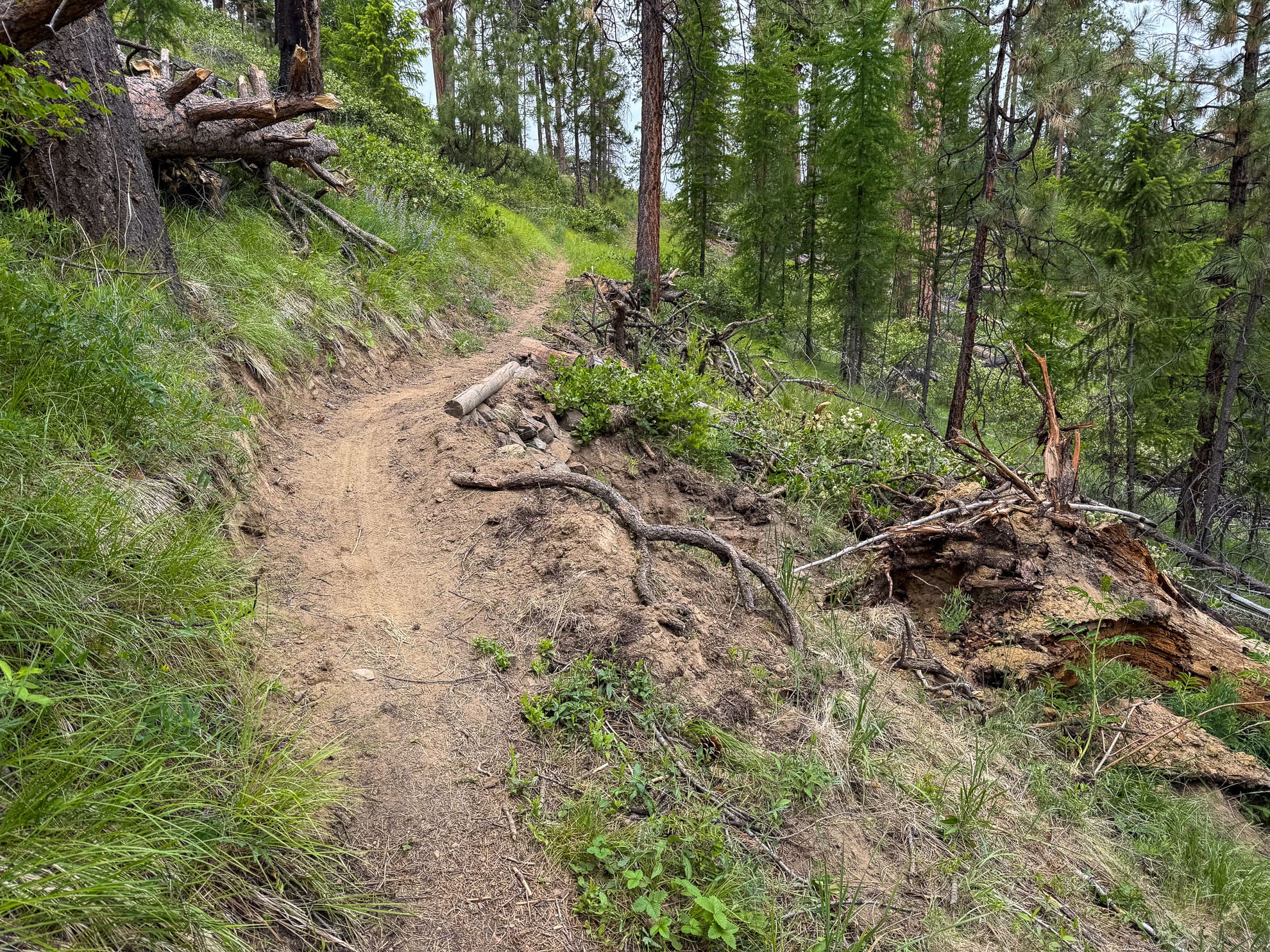
Cougar Creek Trail #835, Ochoco Mountains, East side