Equestrian trail & Coyle Butte

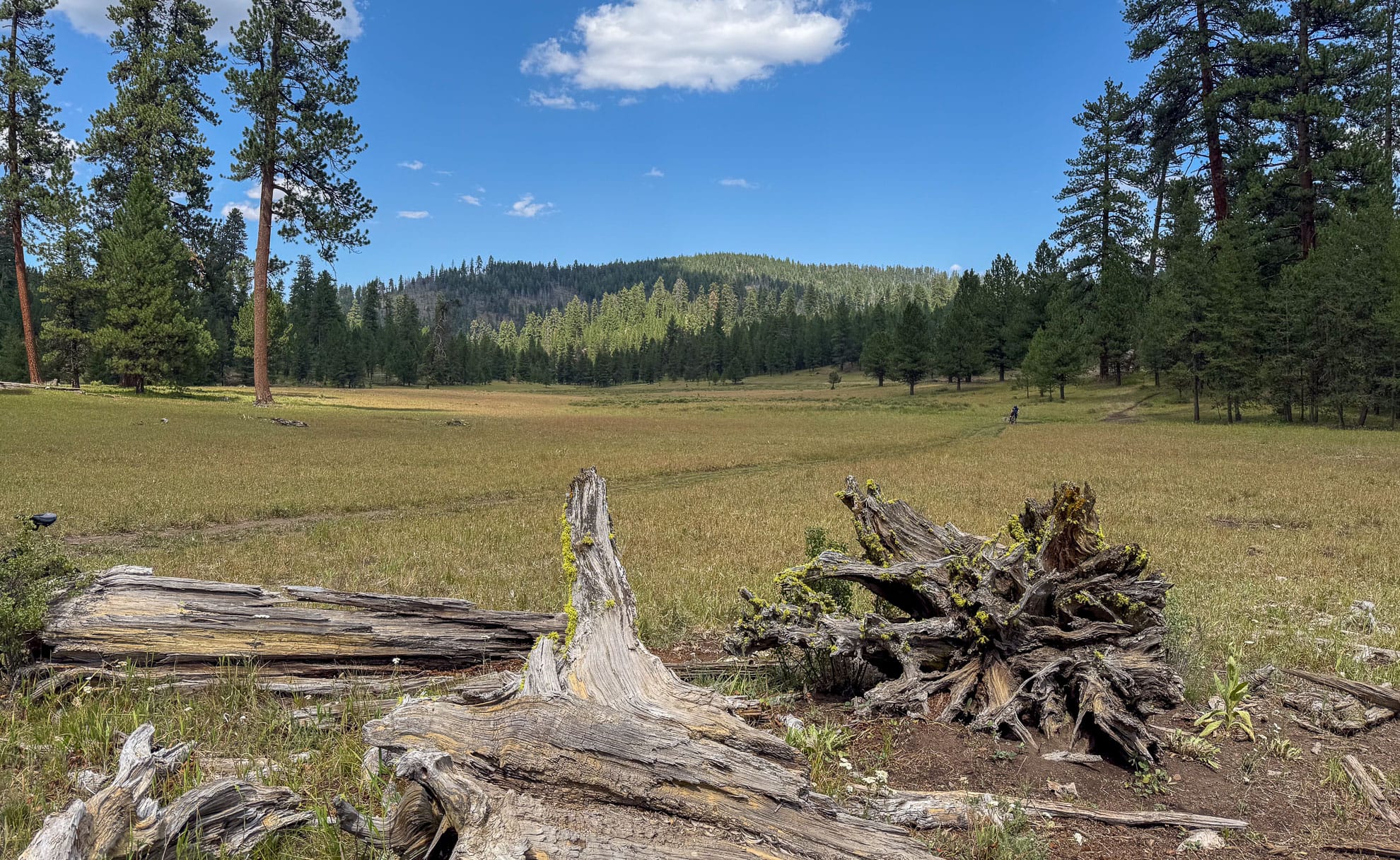
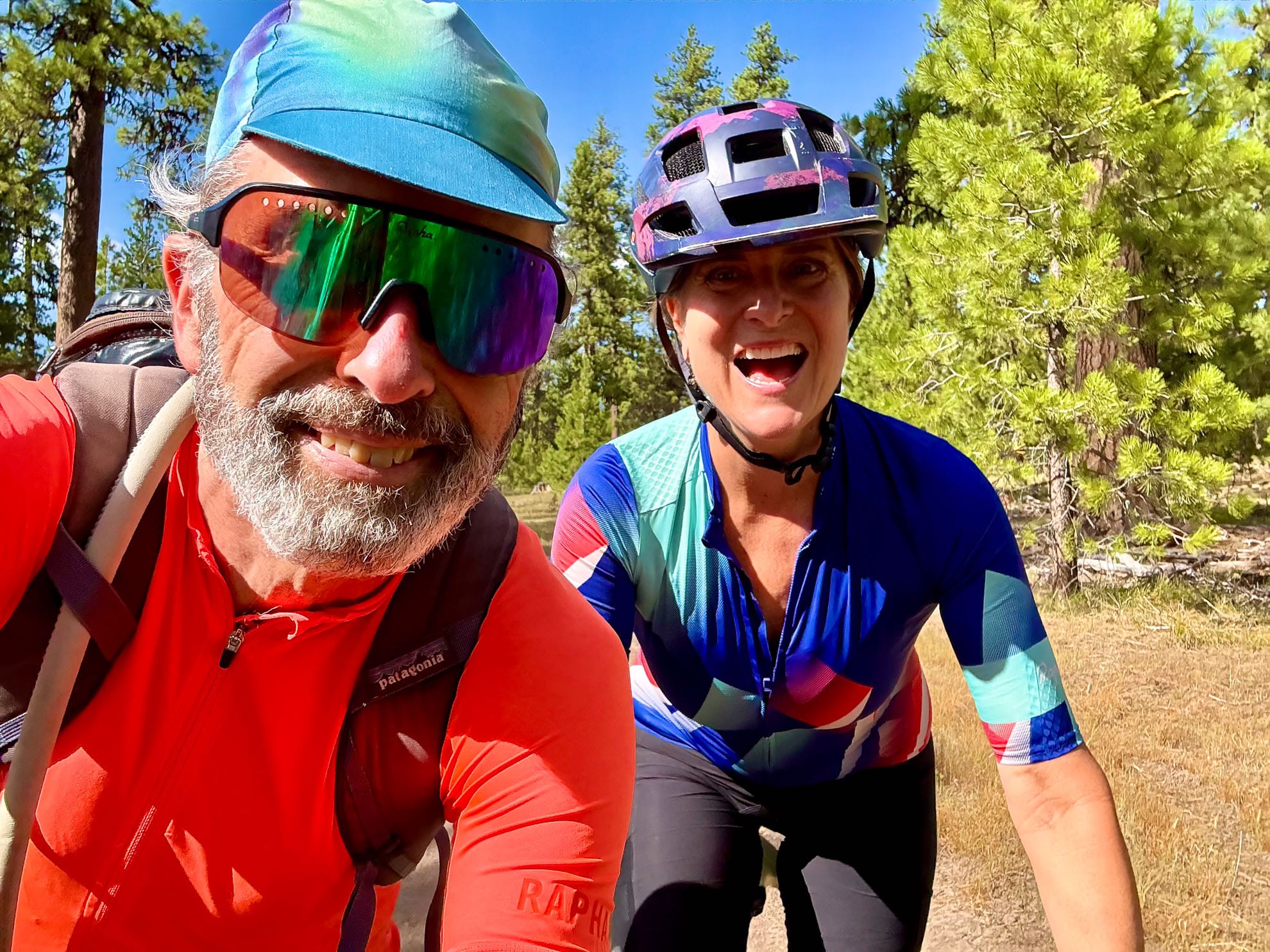
We started riding the gravel roads in the Ochoco mountains for a flavor of the region. Today we explored some of the in-between paths near Walton Lake. Some of the paths are double track, and indeed we finally saw one OHV on the trail, and some are equestrian paths. We set out west from Walton Lake, tackling paths that were not on Gaia GPS but were on the heatmap of Ridewithgps.
Type of ride: Trail descents, gravel road climbs, car camping base out of Walton Lake Campground
Date ridden: August 2, 2025
Distance logged: 27 km
Elevation Gain: 700 meters
After crossing Summit Road it’s a gentle descent. There are several potential beautiful places to camp if one were bike packing.
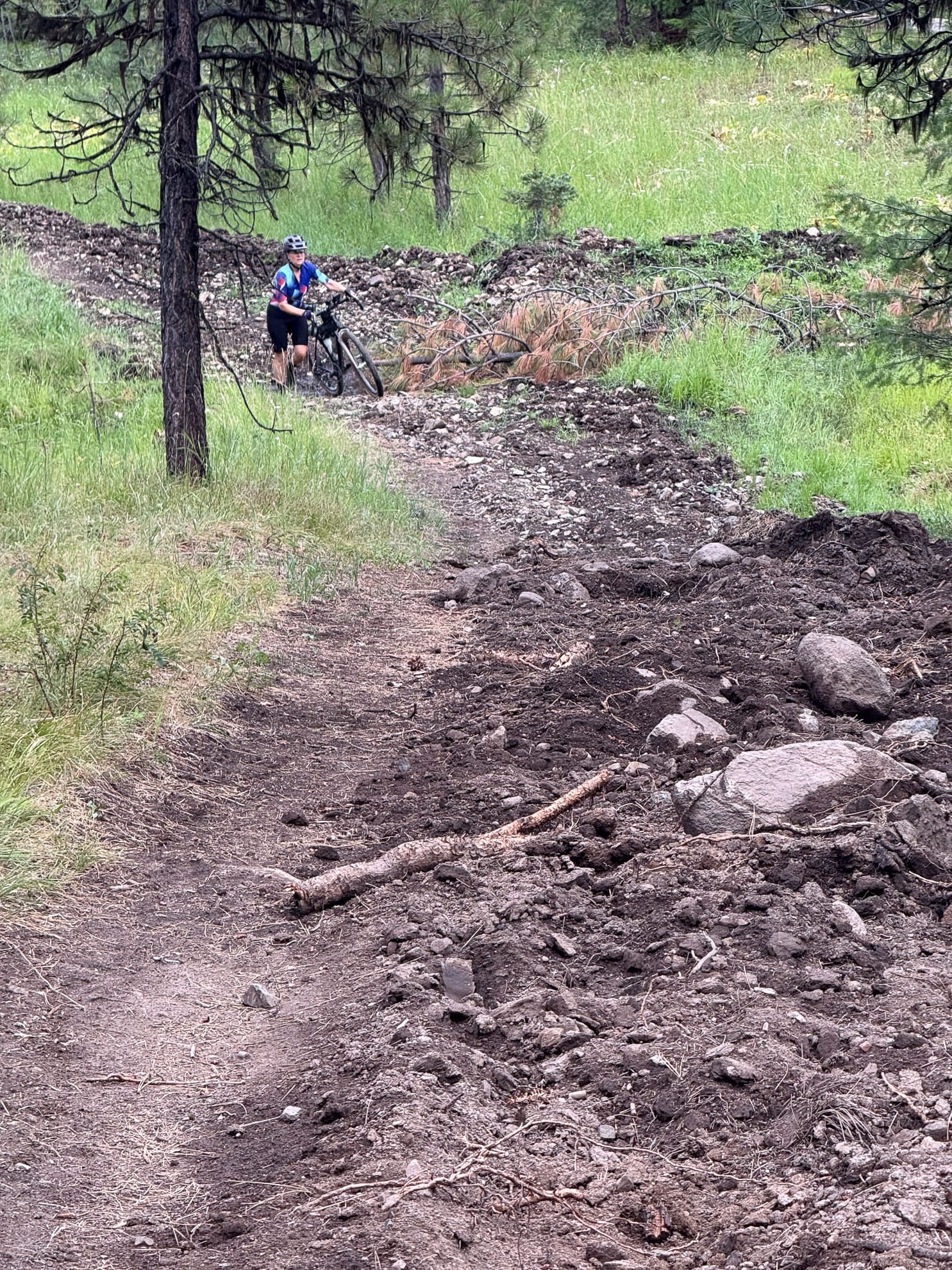
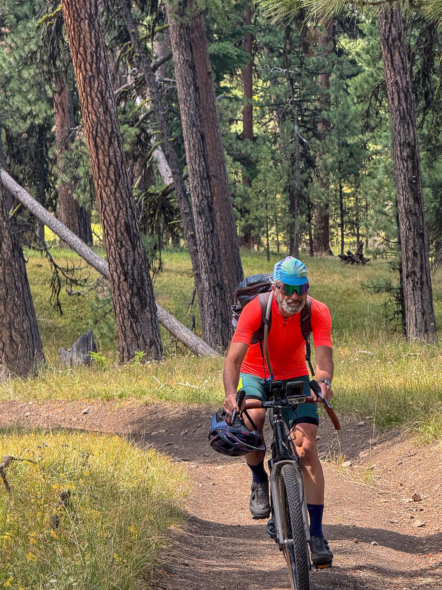
At lower elevation, we were primarily on equestrian trails; Duncan Trail, and Mustang Trail. We never saw any equestrians, although some of the single track was slightly rutted from the horses. Throughout the region, there is horse poop on the trails, but much of it could be from wild mustangs. We’ve passed two wild mustangs in this area.
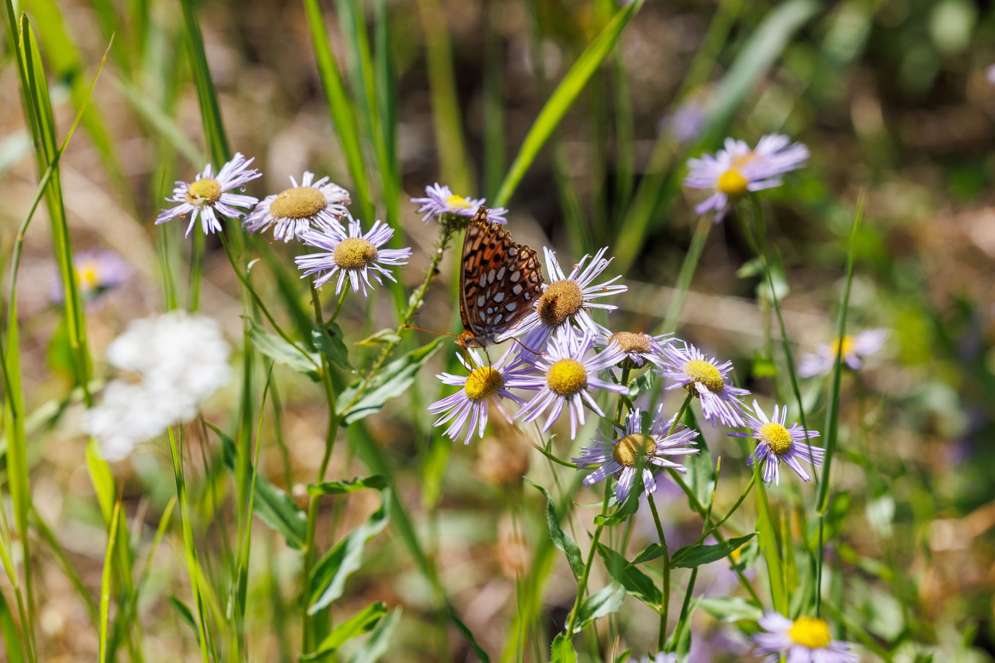
Today we surprised two deer, one of them running between the two of us. I saw three eagle passing through the trees. Fritillary butterflies were plentiful.
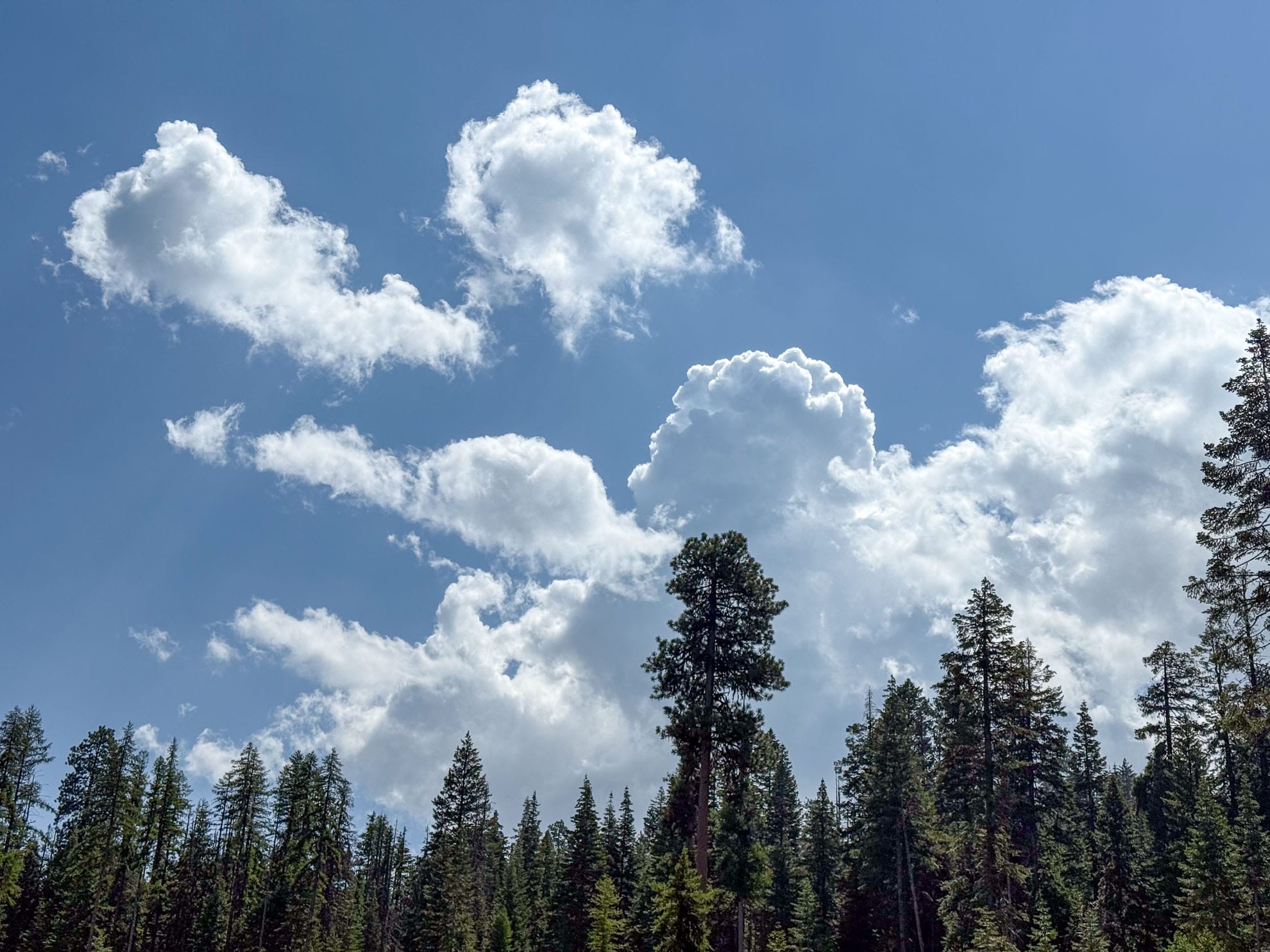
The general vibe of the region is of a giant park. There are still tall pines, although the oldest stumps look like they could’ve been 300 to 500 year old pines when cut down.
A few of the very old forest service roads are being dug up to prevent use. The main Forest service roads are in excellent condition.

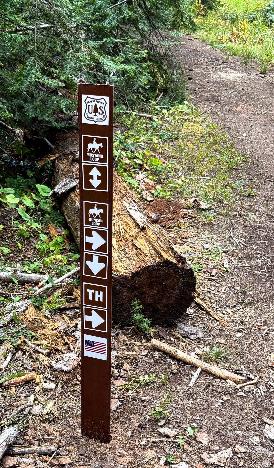
Trails and Equestrian paths.
Some of the paths are signed – no motorized vehicles, while others clearly are double track and get used by OHVs.
Much of what we rode is not on the Gaia map.
Each of the last three days we’ve had summer monsoon thunderstorms. Today was pretty light. However, the tracks today were quite tacky from yesterday‘s thunderstorm.
The climb up Coyle Butte is the most intense part of the ride, ascending 160 m in a little over 1 km. We ended up hiking sections of this. Joining forest service road 300, which splits heading south and descends along Coyle Creek toward the Ochoco Ranger station looks like it warrants future exploration. We headed northeast for the return back to Walton Lake. 300 is mostly a nice gentle descent back to Summit Road.
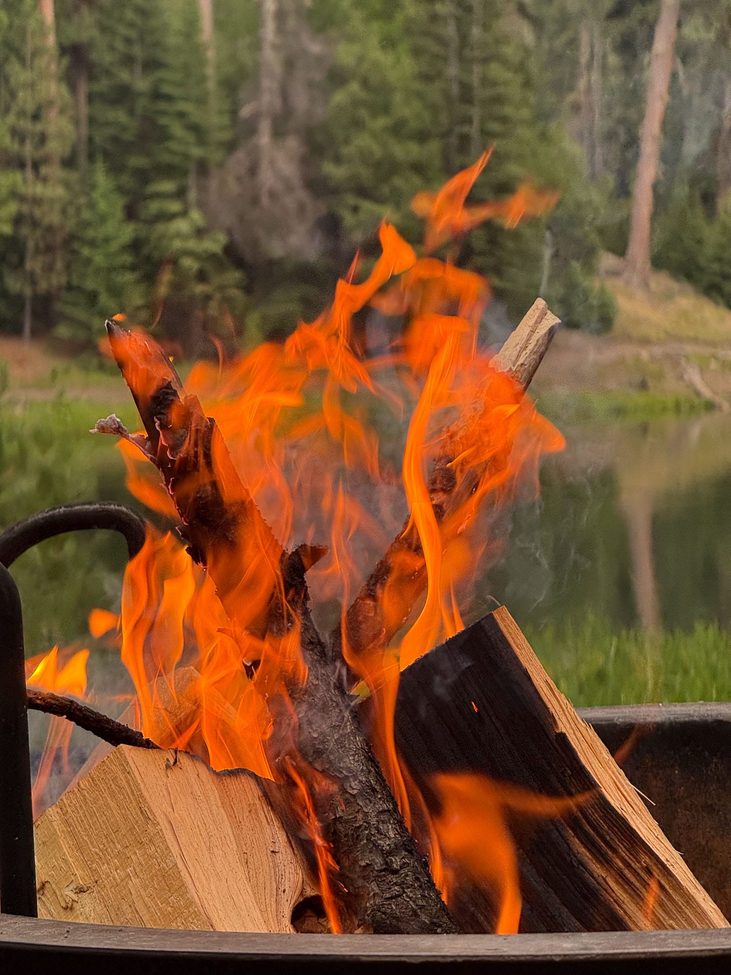
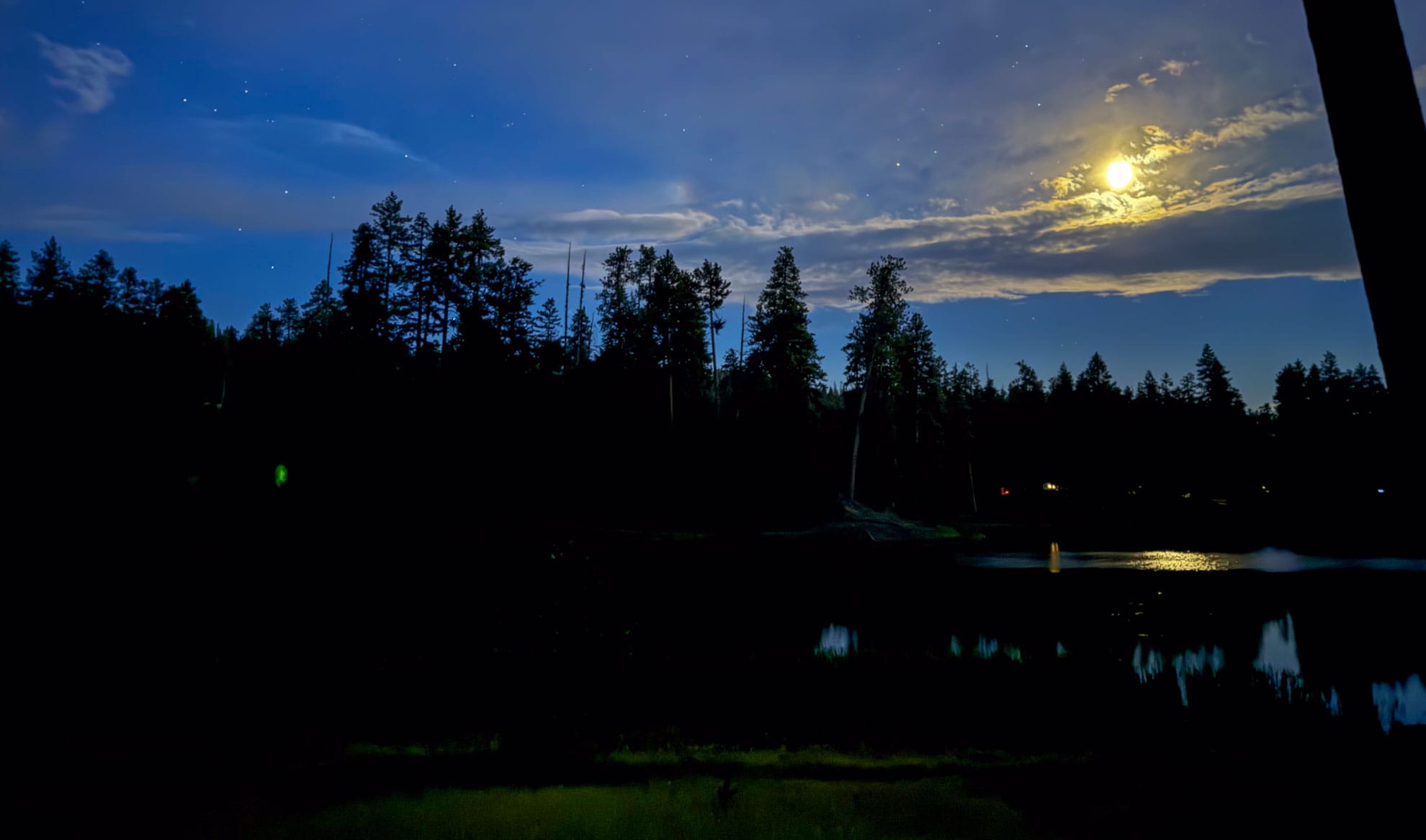
Back at camp for the evening campfire and moon lighting the lake.