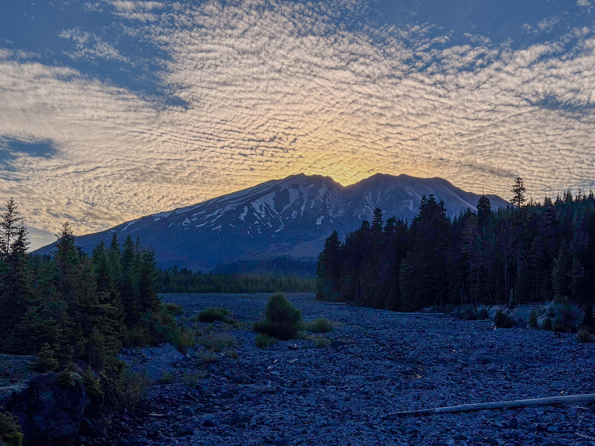
This ride came together on the spur of the moment — a holiday-weekend trip up into the Gifford Pinchot, into what the maps call the Mount St. Helens National Volcanic Monument, and what the two of us have long called Loowit, one of the mountain's native names. There's a Loowit Trail that circles the volcano, and we traversed the eastern part. Only about two and a half hours from home, this ride filled in more of our heat map of southwest Washington.
Two weeks earlier we'd been riding only a few kilometers away, near a formerly named Squaw Peak — Pataniks Pushtye — and from up here we could see it, along with Steamboat Mountain and the Twin Peaks. So this route, dreamed up on the fly, turned out to stitch a lot of the Gifford Pinchot together for us. We've had riding the Plains of Abraham in mind for a while. Our friend Abe's PaperClip trip reports kept it there, and you see it all over Strava and Instagram in spring. We'd always pictured it as an out-and-back into a high desert. It turned out to be a great — if intense — loop.
We pondered our trip together if you would enjoy hearing from us directly.
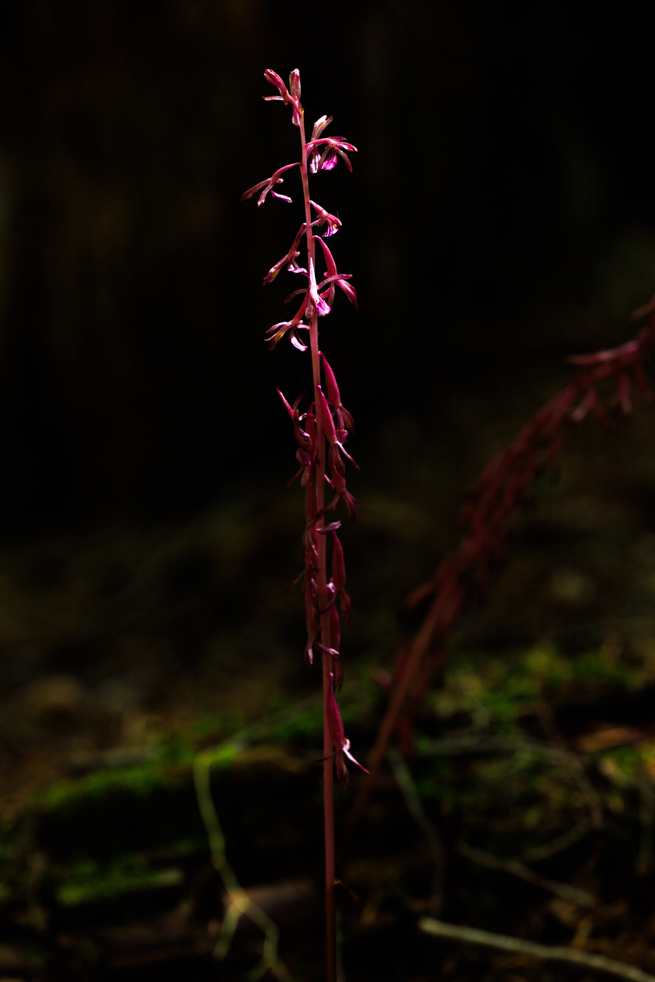
We had the best roadside campsite either of us has ever had along a paved road — a large forested site that could easily accommodate 6–8 tents. The forest floor was filled with wild orchids and large trees.
Once we began ascending from the Ape Canyon trailhead, we shortly entered wonderful old growth that has survived both the volcanic eruption and the loggers' saws.
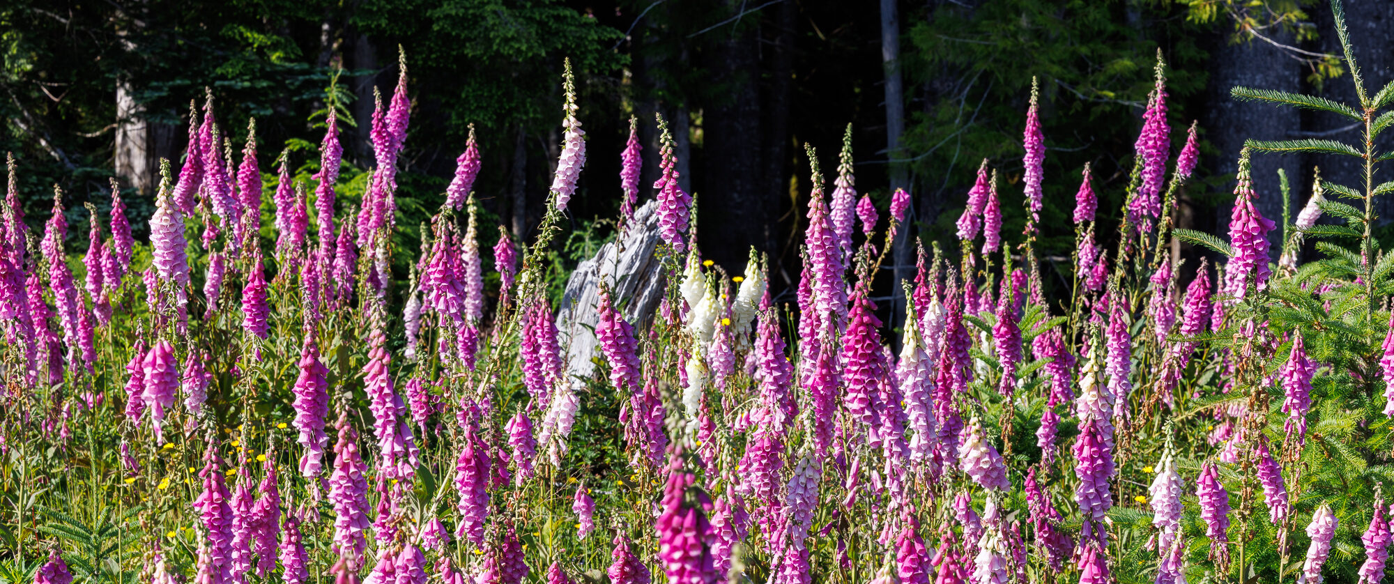
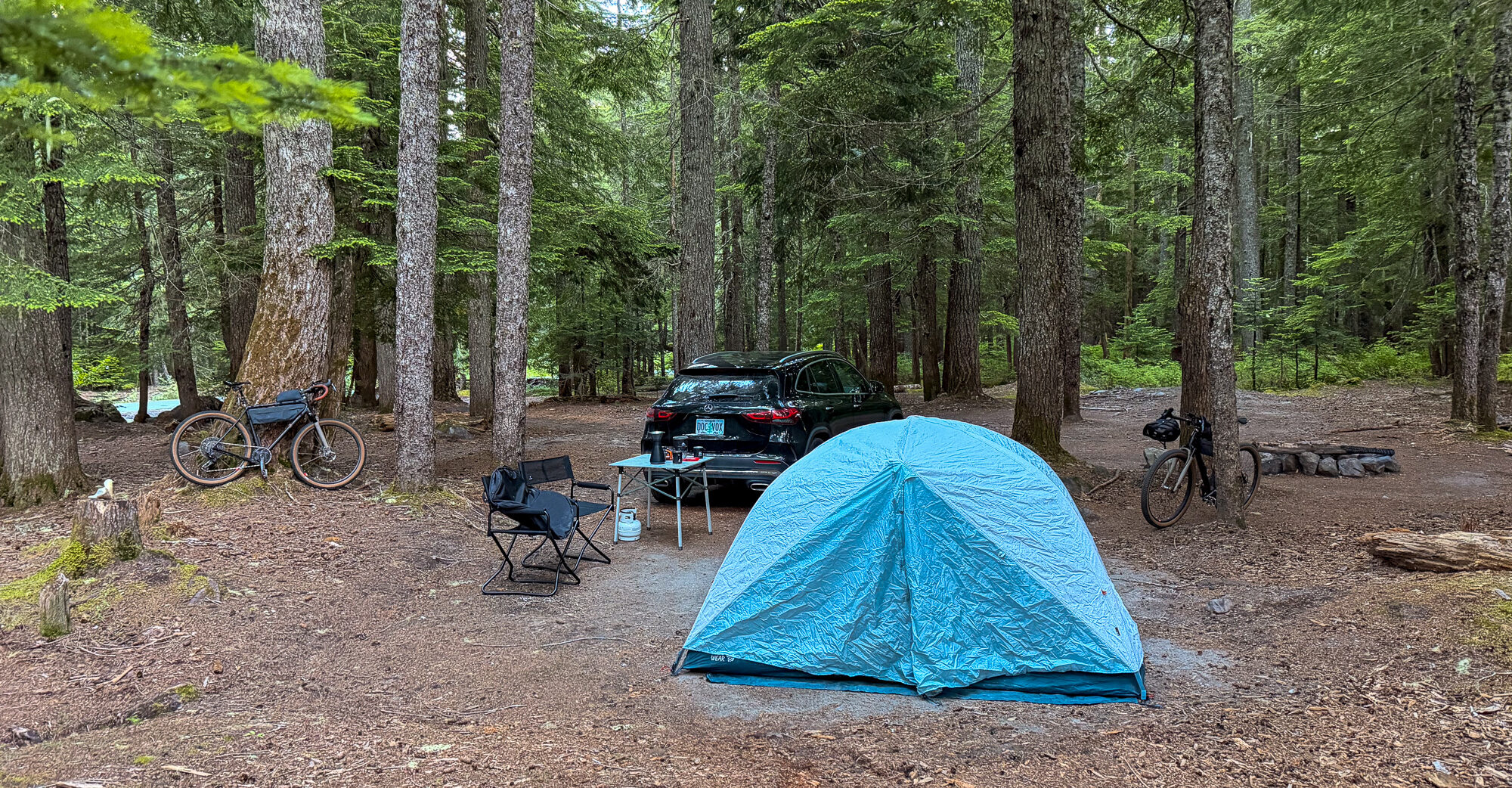
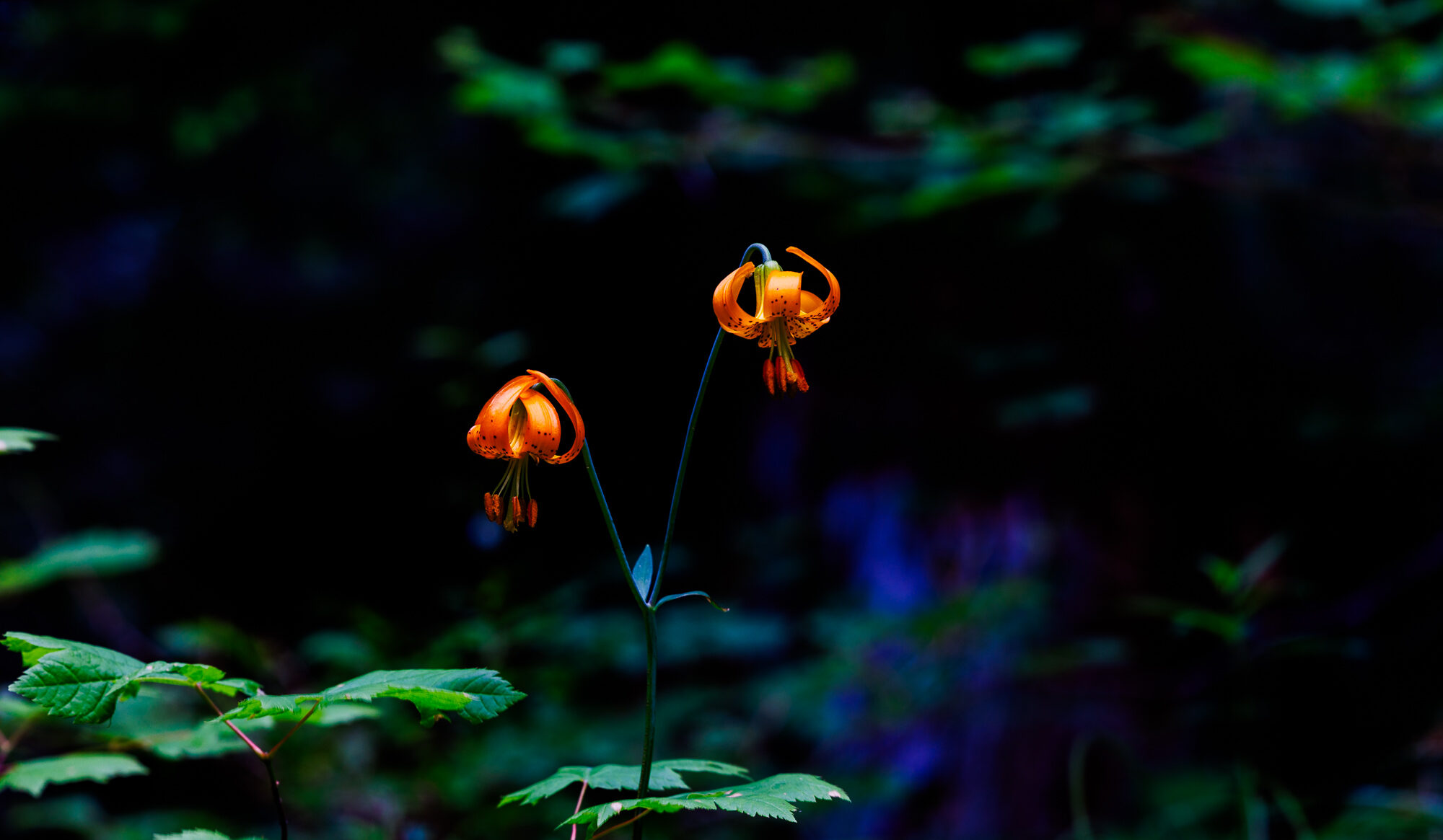
Serene camp among wildflowers and towering conifers
Up Through the Old Growth
We started around ten in the morning on Friday, the federal Fourth of July holiday, observed, which meant the weekday trail closures were lifted and we were allowed up. We didn't know that there is an 18-month weekday closure of the trails for Spirit Lake work. We were just lucky. Early on we crossed the Muddy River, though I didn't know it was the Muddy River at the time, because it was bone dry, water traveling beneath the volcanic stone. By the end of the weekend we would know the river more intimately.
The Ape Canyon trail ascends immediately, entering lush and staggering old growth — some of the largest trees we've ridden beneath in the region. We encountered a few kindred souls, many of them on electric mountain bikes, and hikers too. On our Open Wi.De bikes we drew a lot of second looks. “Wow, you're on gravel bikes up here. Impressive.”
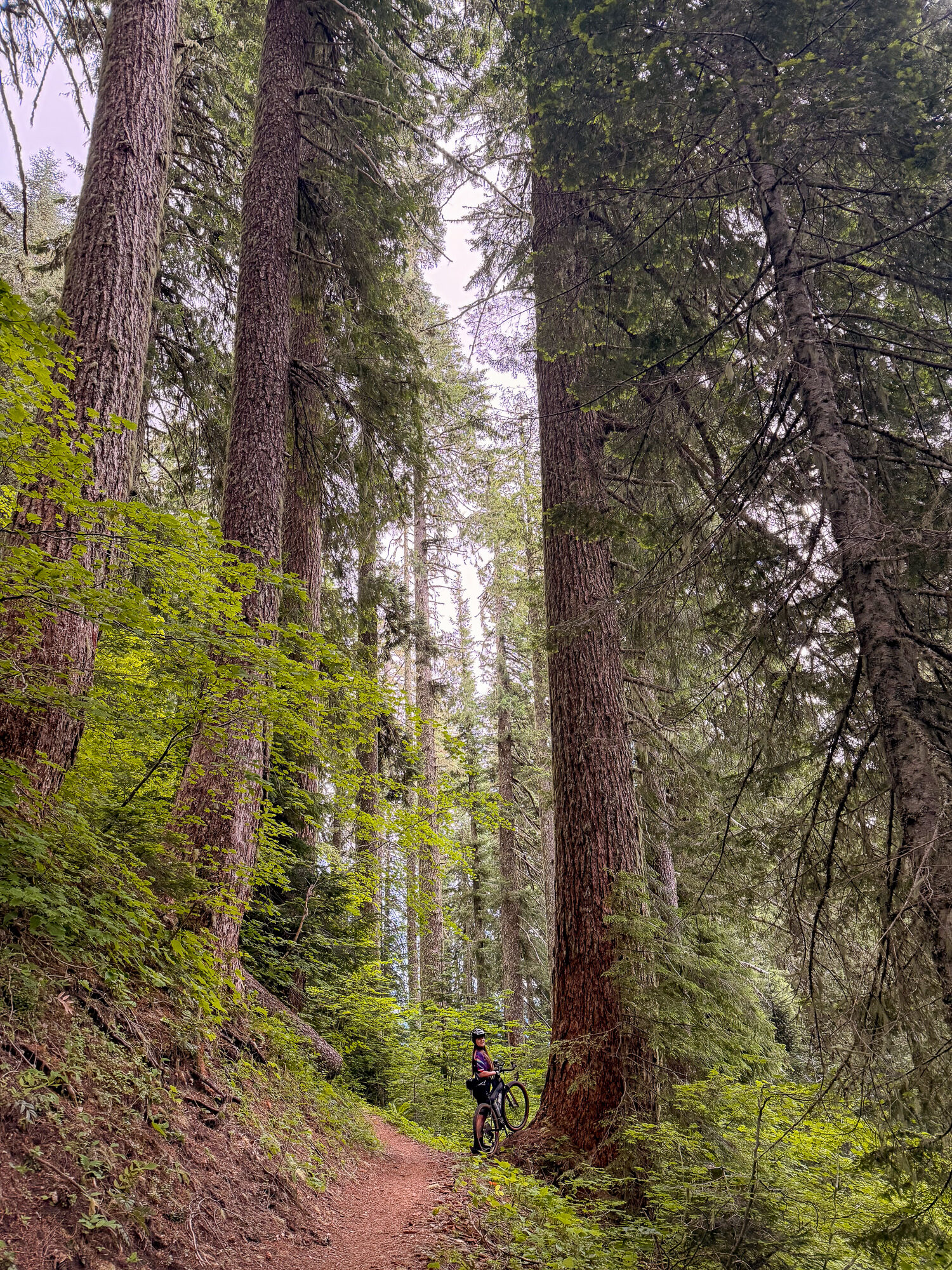
Ape Canyon
The trail goes up to Ape Canyon, and while we were there we heard the story of how it got its name: gold miners up here said they heard apes throwing rocks at their mining hut. There are a few theories — that it's part of the Sasquatch lore, or that it was the local people trying to scare the white miners off their land by dressing in bear fur and pelting them with stones. We saw no apes. We did see bear scat, and it certainly looked like good bear country.
From a lookout over the whole of Ape Canyon we spotted a mountain goat browsing on the white slopes far below, and then others down in the valley. We ran into a mountain guide named Sunshine — a friend of a friend, volunteering with the Mount St. Helens Institute — who told us one particular goat was a regular in that spot. Climbers will tell you a mountain goat is good luck. I'm not entirely sure that little gorge was lucky, though: we also saw a dead goat carcass hanging, and a rescue litter abandoned at the bottom, a gurney that hadn't fared well. Somebody, at some point, had had a very hard day down there.

Past there it got genuinely rugged. That's the stretch where even the mountain bikers were walking, and where our gravel bikes drew the most disbelief — but it was a lot of fun. We liked that section a great deal.
The Plains of Abraham
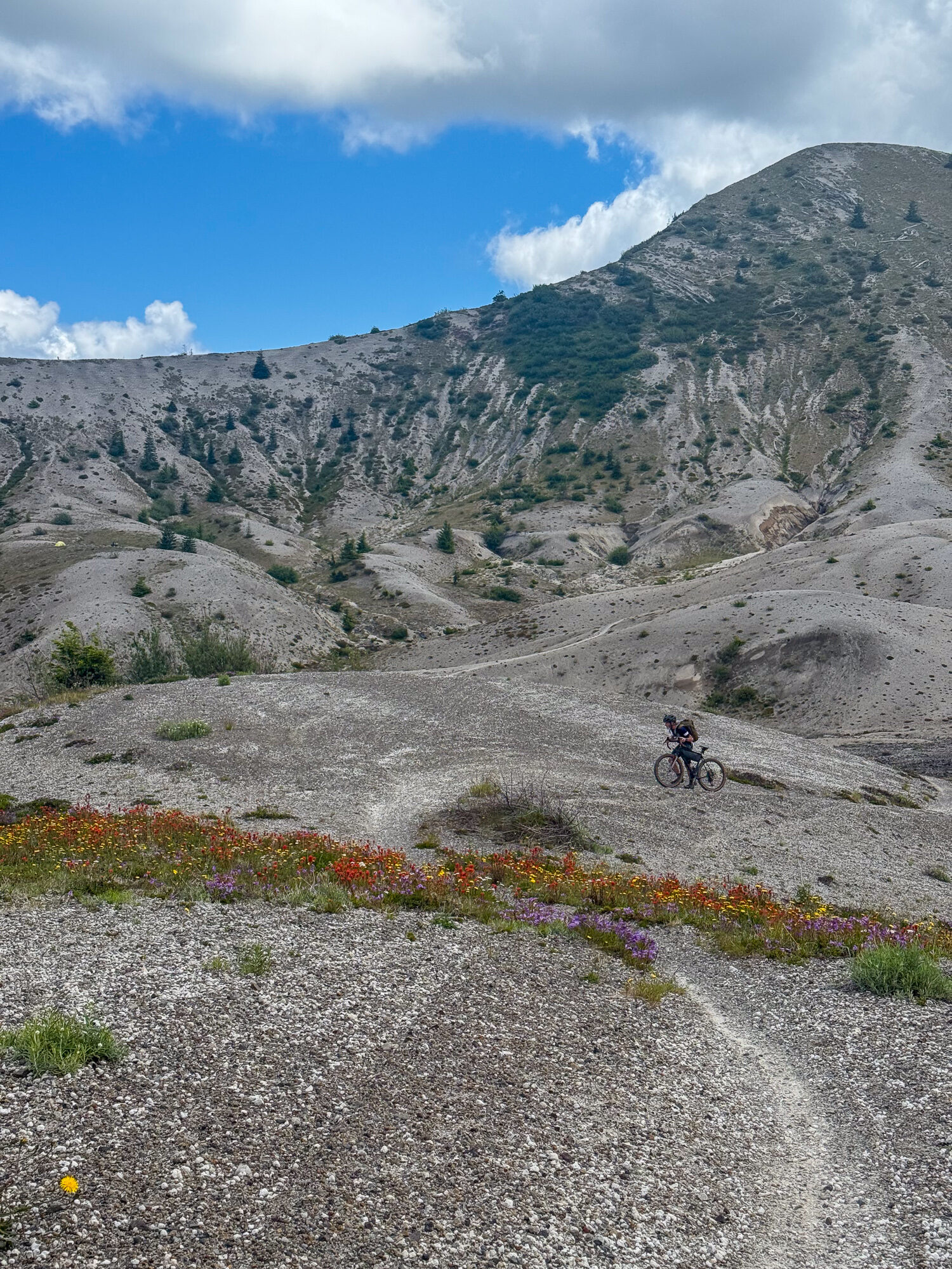
Exiting Ape Canyon onto the Plains of Abraham, we enter the moonscape of a pumice plateau. Yet, look closely, purple penstemon, red Indian paintbrush, and fields of yellow create swaths of intense color among the gravel. The clearly sensitive environment benefits from a lack of attention. It wasn't crowded up there at all, even on this holiday.
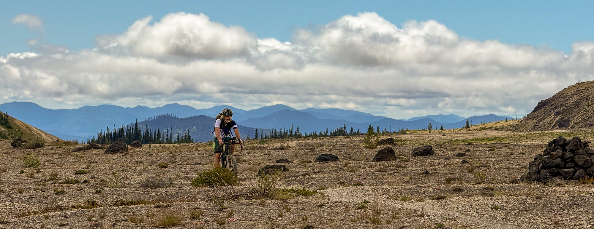
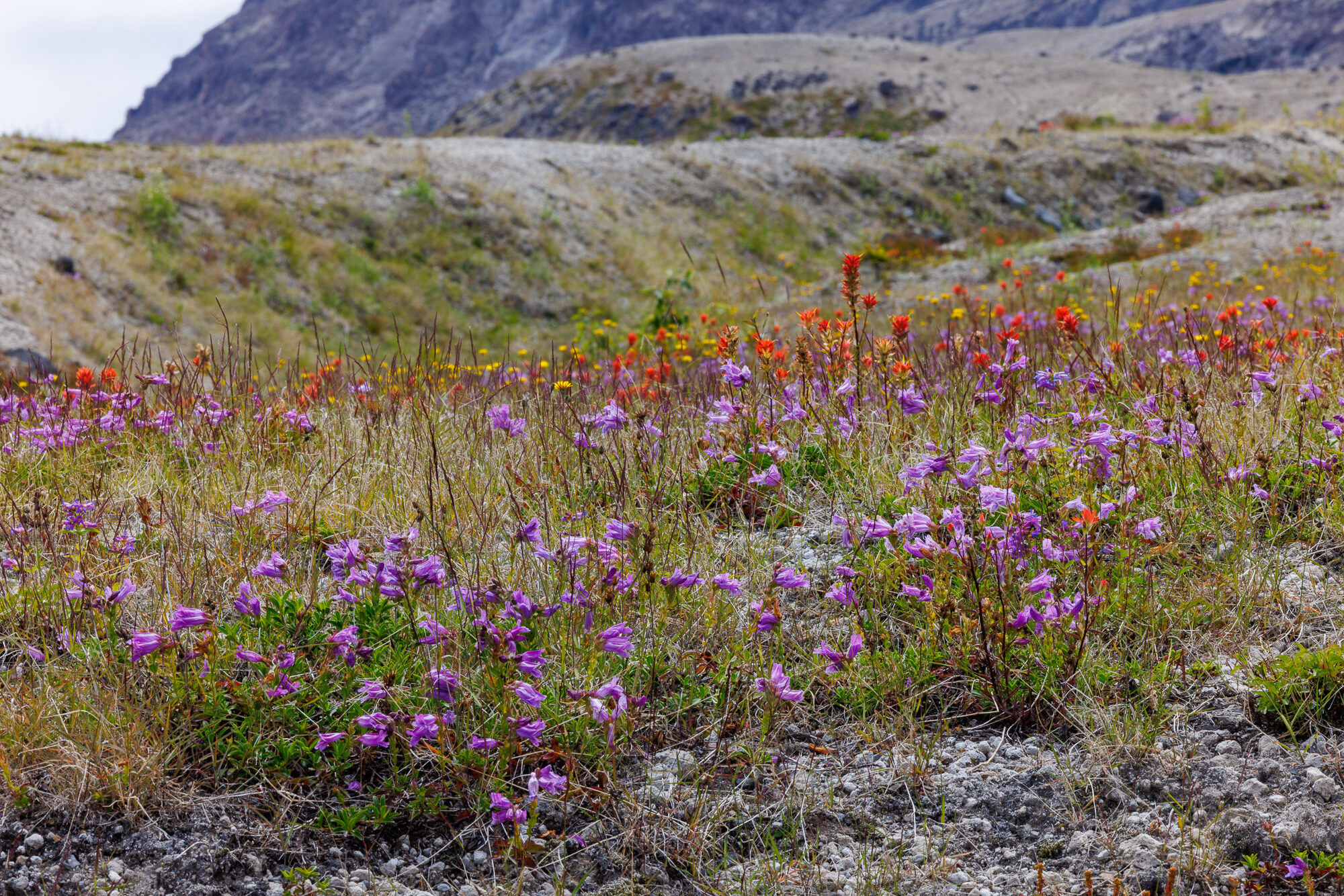
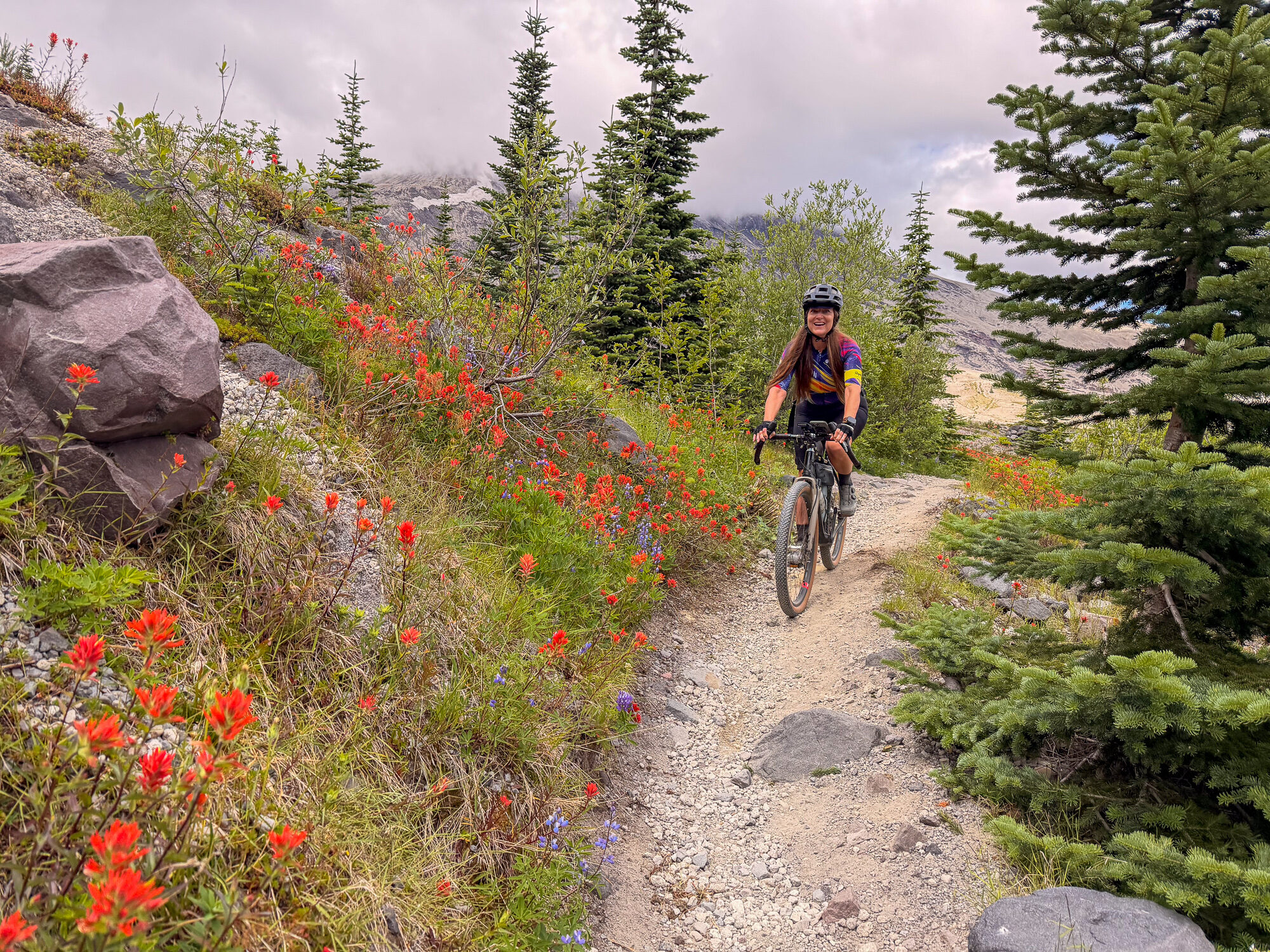
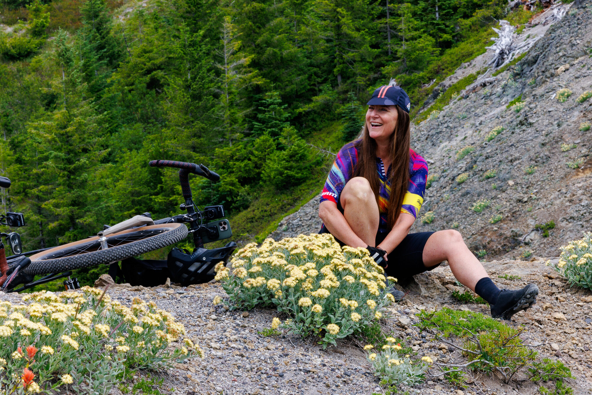
Penstemon, paintbrush, and yellow buckwheat across the plateau
The Ape Canyon trail follows a ridge upward, crosses the Plains of Abraham, then follows contour lines along the east-facing ridges, wildflowers on both sides, where we sit for lunch, while a hummingbird buzzes us. Our view east includes Klickitat (Mt. Adams), Tahoma (Mt. Rainier), Goat Rocks and many of the various lesser-known peaks in the Gifford-Pinchot area. Then the trail narrows again, falling steeply away on either hand — quite a ridge line of loose gravel. There are even ladders to aid in the descent. That is our approach to Windy Ridge.
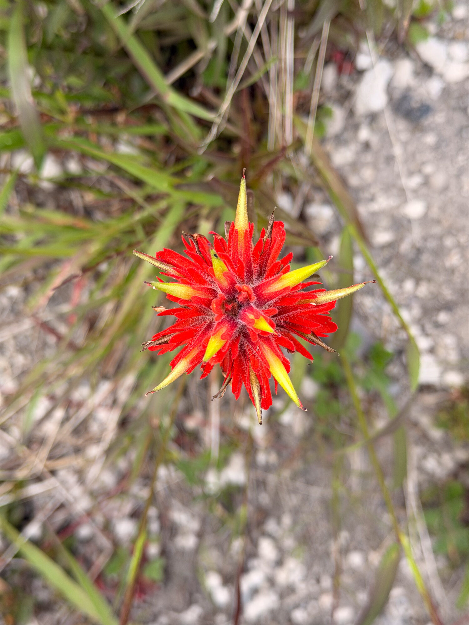
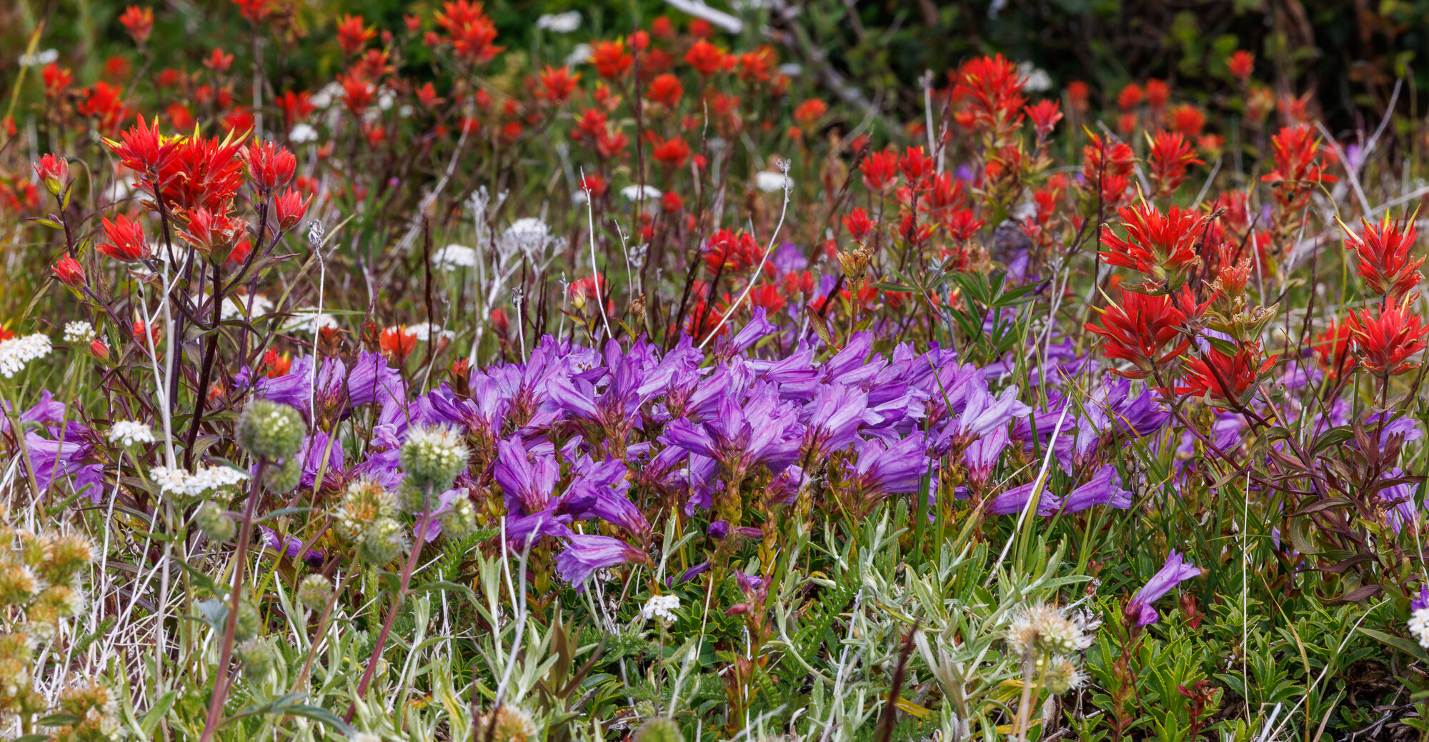
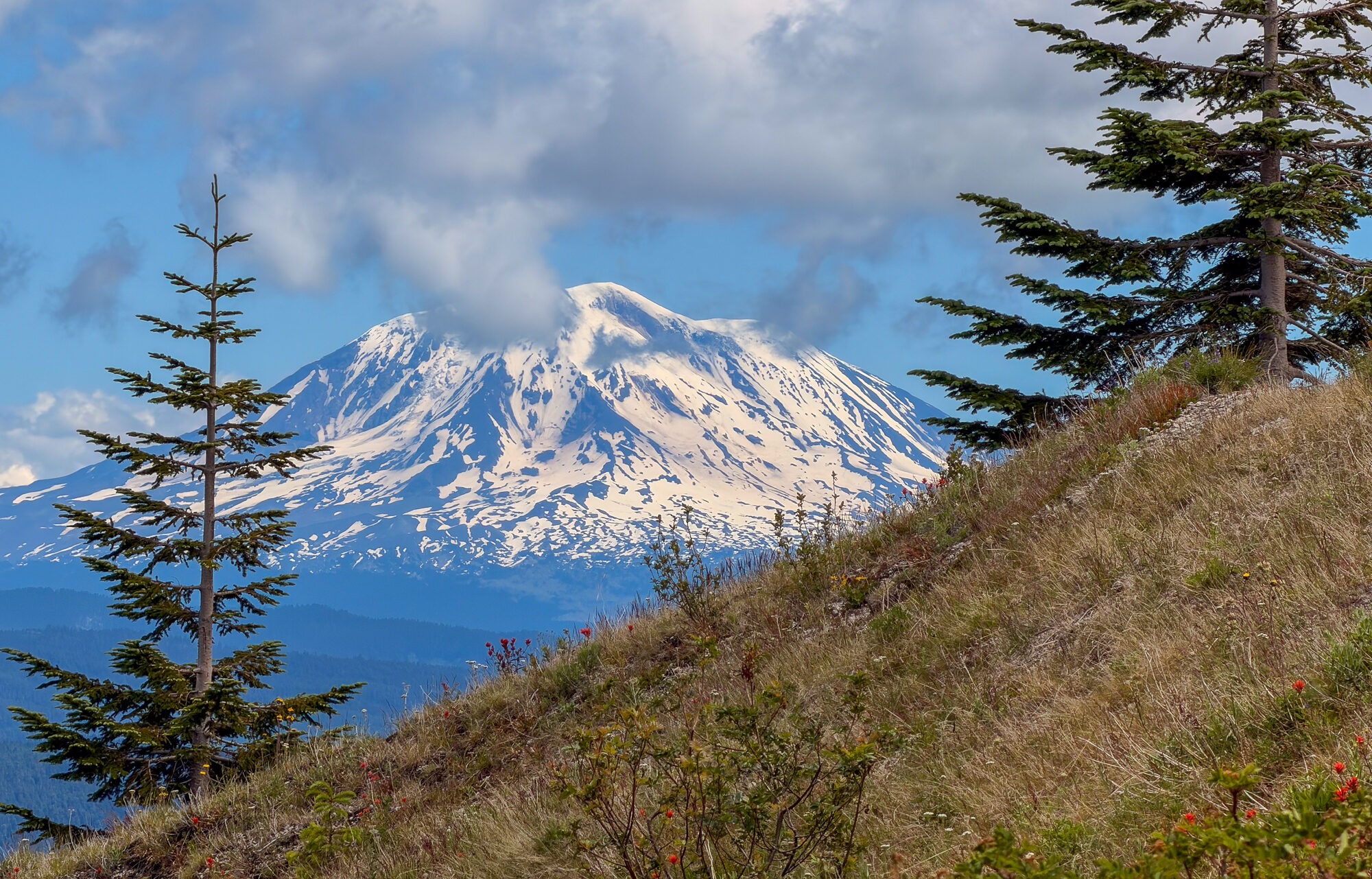
The deep red paintbrush: Castilleja mixed vividly with the purple of Penstemon. We enjoyed the west face of Klickitat (Mt. Adams), still covered with snow.
Windy Ridge & the Decision
Windy Ridge gave us the only cellular signal we'd have in three days — just enough to do our Duolingo. It was also our halfway point, and we had climbed to 1300m. Now we had to choose: turn back the way we'd come, or commit to the loop down Smith Creek. Smith Creek looked like an impossibly deep ravine, and dropping into it meant giving back every meter we'd climbed and more — down to five-fifty or six hundred — and that meant a 400 meter climb out at the end of a long day. That gives you pause. But I felt I had it in me. Maybe it was the mountain goat.
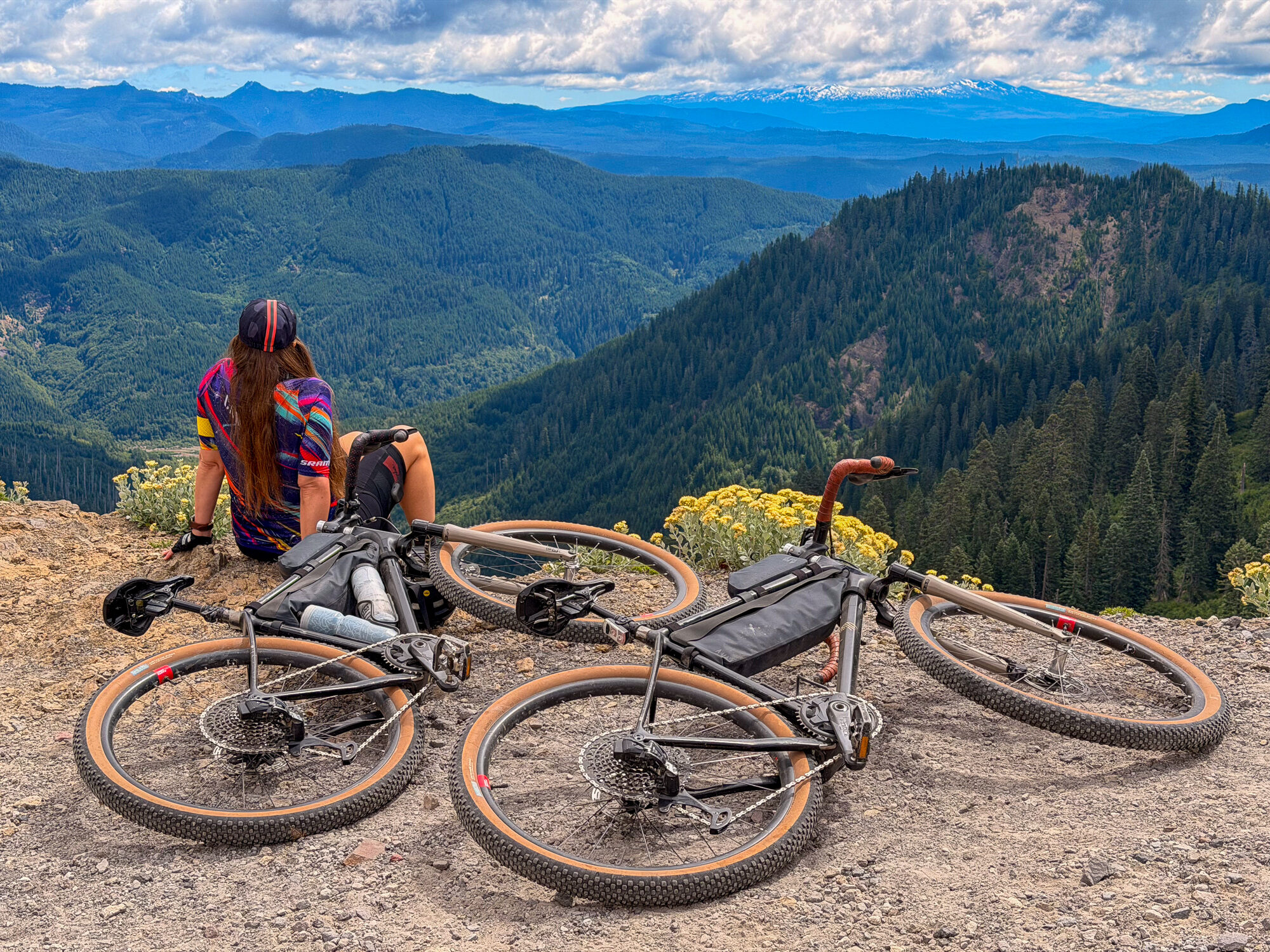
Windy Ridge — the last bars of signal, and the decision point
Down to Smith Creek
We committed to the loop. It began on a decommissioned road, then a set of switchbacks through pumice — tricky stuff, hard to brake on, easy to wash out. I earned a pumice tattoo on my right forearm to prove it.
From the podcast“I got a pumice tattoo on my right forearm.” — “Yeah. It's easy to wipe out when you're on that kind of gravel.”
James & Amy, on the Smith Creek switchbacks

At the bottom the trail became another decommissioned road, foxglove — digitalis — growing along it, and we forded Smith Creek twice where it had bifurcated. It was not a creek you'd want to splash around in: it ran with an orange hue, like an acidified river. We speculated sulfur, maybe sulfuric acid off the volcano. Hard to say. Then the road ran out between stands of white-barked birch, speckled trunks on both sides, with more foxglove beneath — very pretty in the lowering sun.
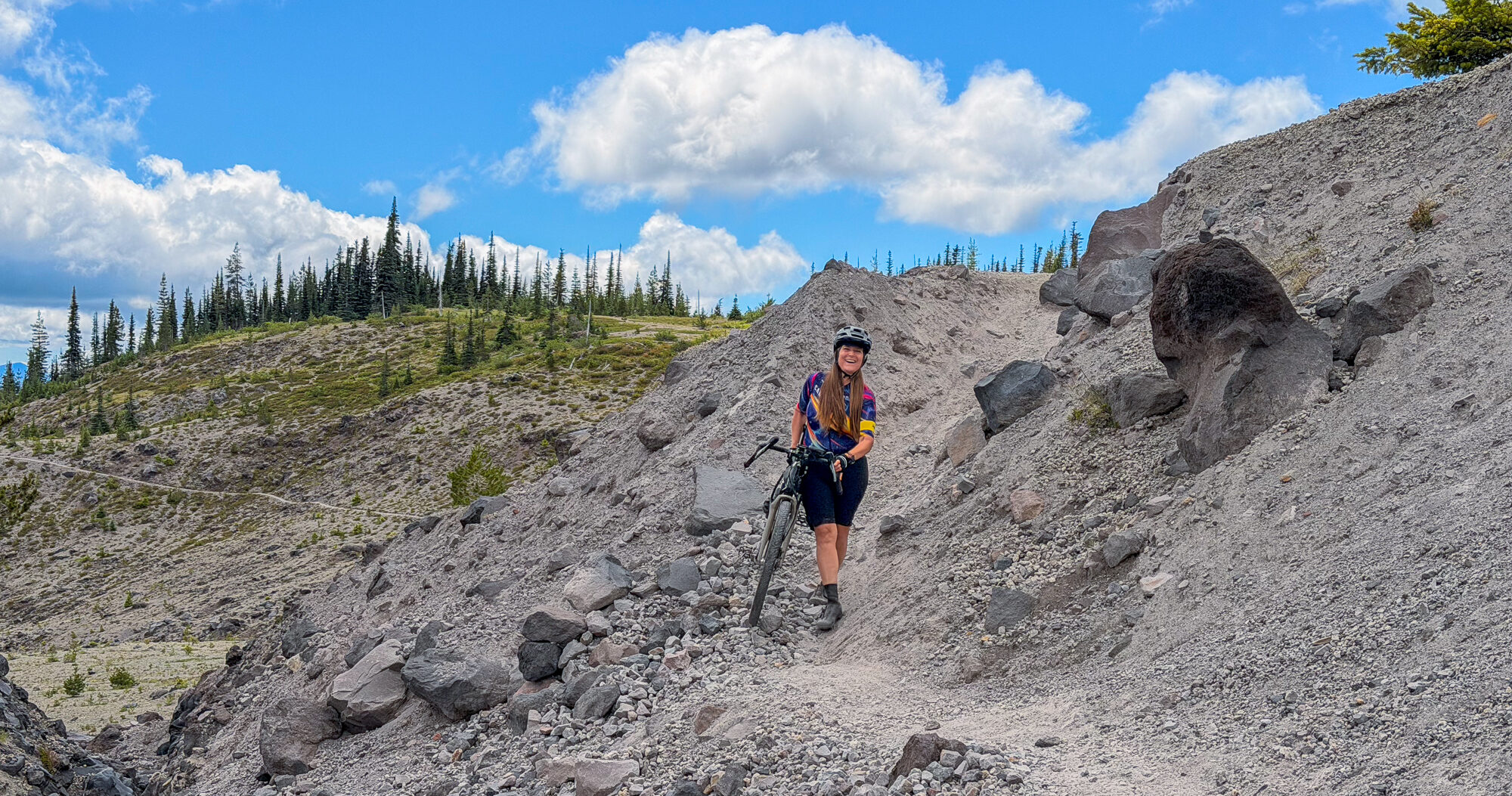
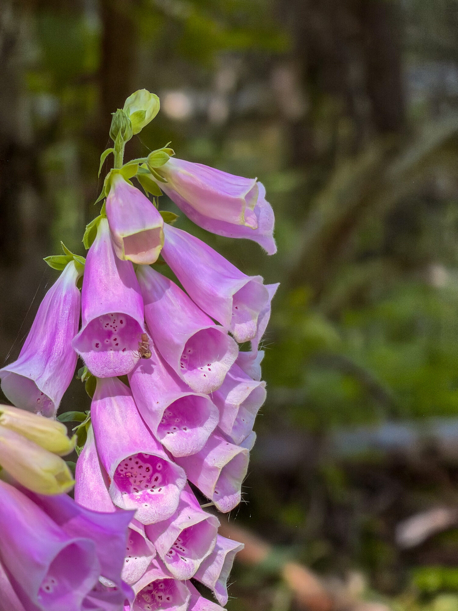
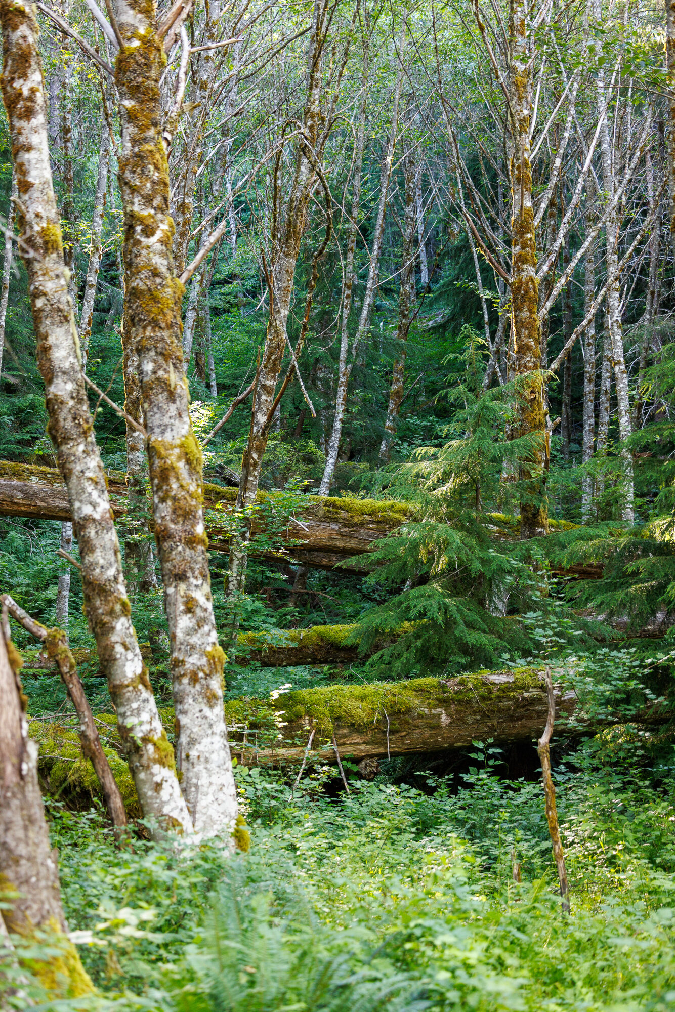
Down through the pumice, the foxglove, and the birch-lined road
The Long Climb Back
Then a decision I hadn't seen coming: there's more than one way back up to camp, and we took Forest Service Road 83 Extended — the one most bikes take, and probably the right call. It was a solid ten-percent grade, four hundred meters of climbing in a little over three miles, and a good deal of it was hike-a-bike at the very end of a long day. But summers are long up here. We had daylight to spare and rolled back to the top around half past eight, a ten-a.m.-to-eight-thirty day.
We are, admittedly, slow riders. That's on purpose.
From the podcast“I'm not about getting the distance in. We like to appreciate the nature, the geography, the panoramas — and talk to the people we meet. A lot of times you stop, and there's something right at your feet you weren't expecting. If you don't stop, you just don't see it.”
James & Amy, on riding slow
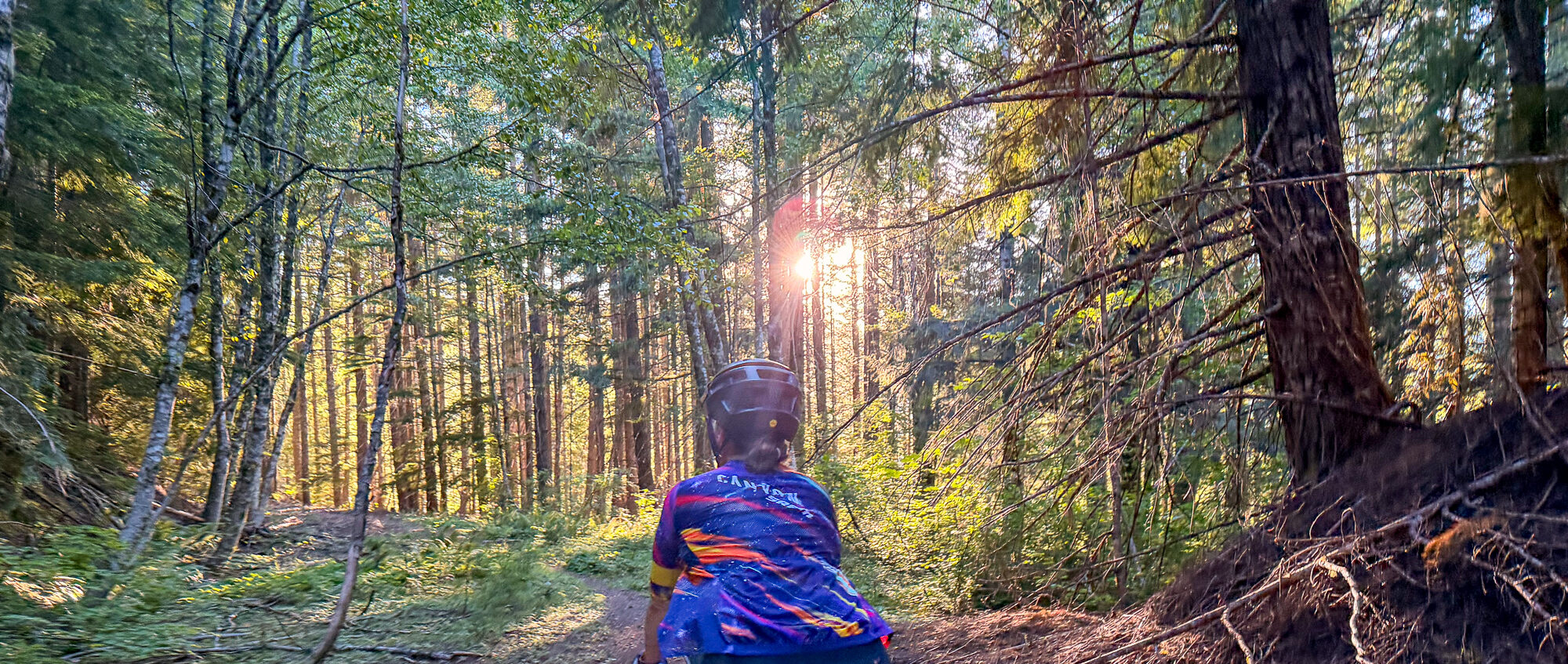
Day Two — The Muddy River
The next day we went back to see what a slightly bigger loop might offer. We rode back down Forest Service Road 83 to Smith Creek, and this time got to ford the Muddy River — which, on this day, was not in the least muddy. Where a bridge had clearly once stood, there was now just a chasm, the road washed out on both sides. My instinct was to turn around. But there was a faint path off to the right.
From the podcast“James was like, oh, should we turn around? And I said, well, let's just see where this goes. And we ended up having the best adventure — it was the highlight of the day.”
Amy, at the washed-out bridge
The path took us right down to the Muddy River — a glacial river, cold and fast, and deeper than it looked. I had a hard time finding a flat place to ford. It was only below the knees, but as soon as water climbs above your knees there's a real pull to it, and this one pulled. And crossing was only half the job: on the far side rose a thirty-foot wall of volcanic pumice we had to climb to get out.
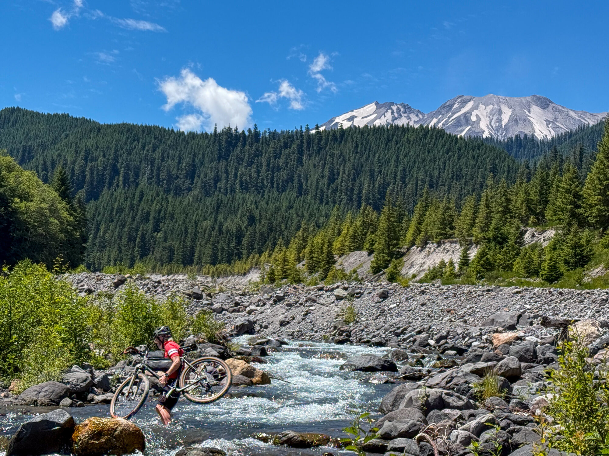
While a sandpiper called out from a rock in the river, Amy screamed, while changing into her swimsuit in the bushes. A grey, furry creature that seemed like a mouse ran under her legs. Then she realized it was a baby bird, the angry sandpiper's baby, all downy and seeking cover in the shady sand.
From the podcast“While you were getting in your swimsuit, a mouse ran under you. — It was not a mouse, it was a baby sandpiper. It was so downy it looked like a mouse. And mama was beside herself.”
James & Amy, at the river's edge
We stopped and lingered. James immersed himself in the icy water. Amy stayed dry, which is odd, because usually she's the one who goes fully in. We scouted for an exit carefully and found a tenuous line up the pumice wall — someone had left a length of hardware rope, not to haul on so much as to balance against. James carried both bikes up. That climb was the key to the whole ride, because once we were over the river and up the embankment it was a very rideable seven-percent double-track grade, about ten kilometers, back to camp. Our first day had been cloudy, the second brightly sunny and hot down in the valley, and glacial rivers like the Muddy River rise with the day's meltwater.
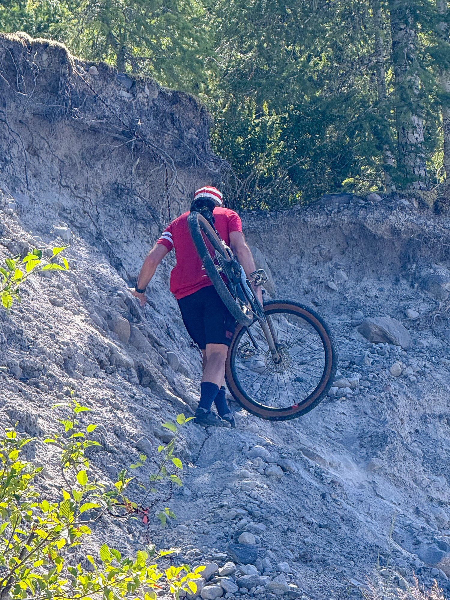
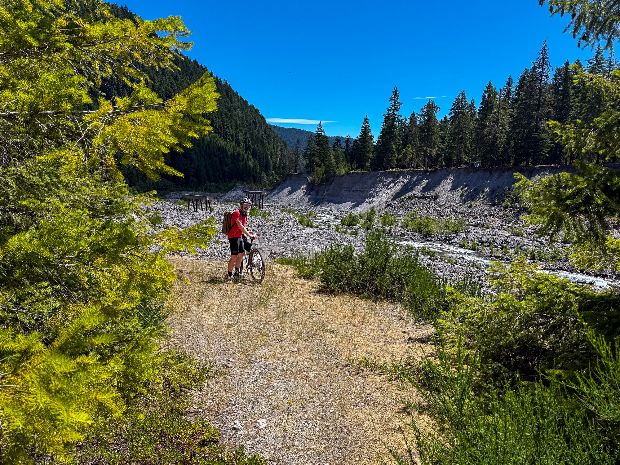
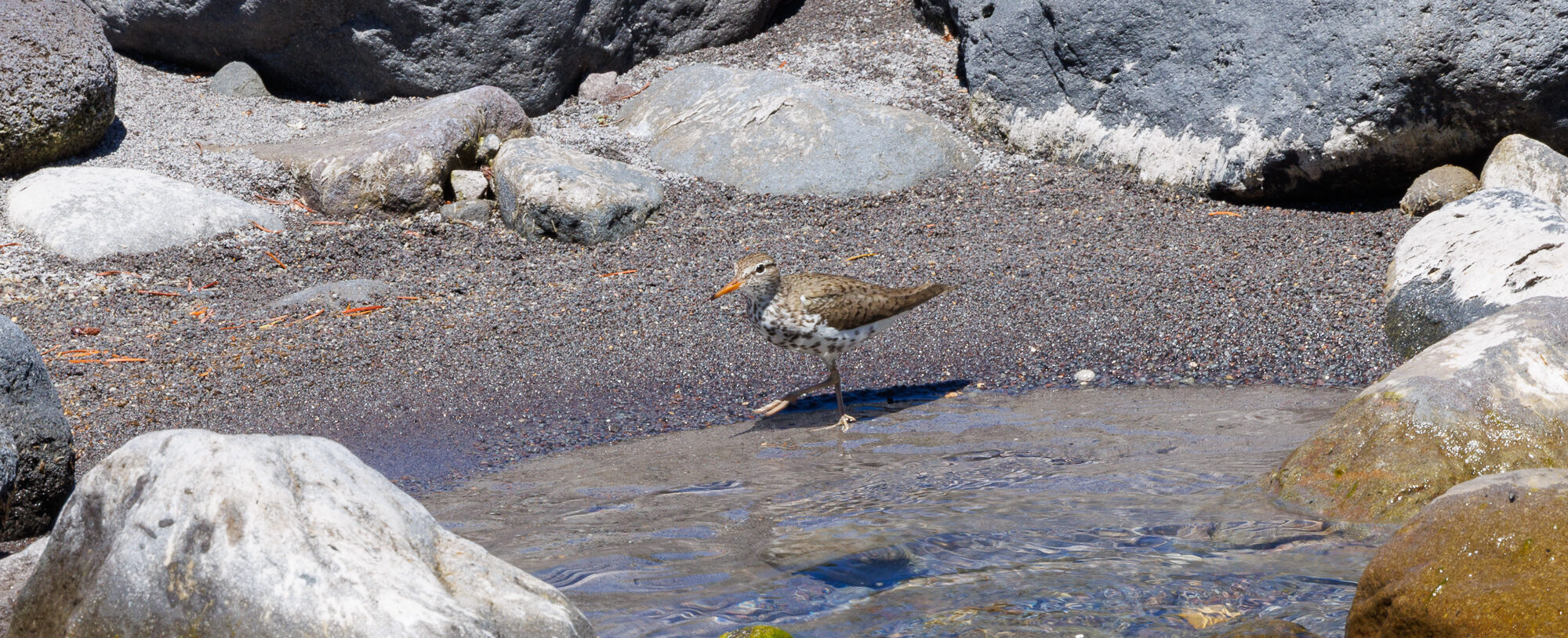
The Muddy River wash, with the long gone bridge, a tenuous trail up the wall, and the mother sandpiper guarding her young.
Getting to Know the Mountain
Between us we've come at this mountain a lot of ways — road-cycling its flanks, and climbing to the summit four times — but this particular loop, and staying up here, gave us a far better feel for the place. It connected some pieces: Windy Ridge, the Truman trails named for the man who wouldn't leave his cabin, and the Ape Canyon region. We came away knowing the east face of the Loowit a bit better, from pumice to goats and forests to wildflowers.
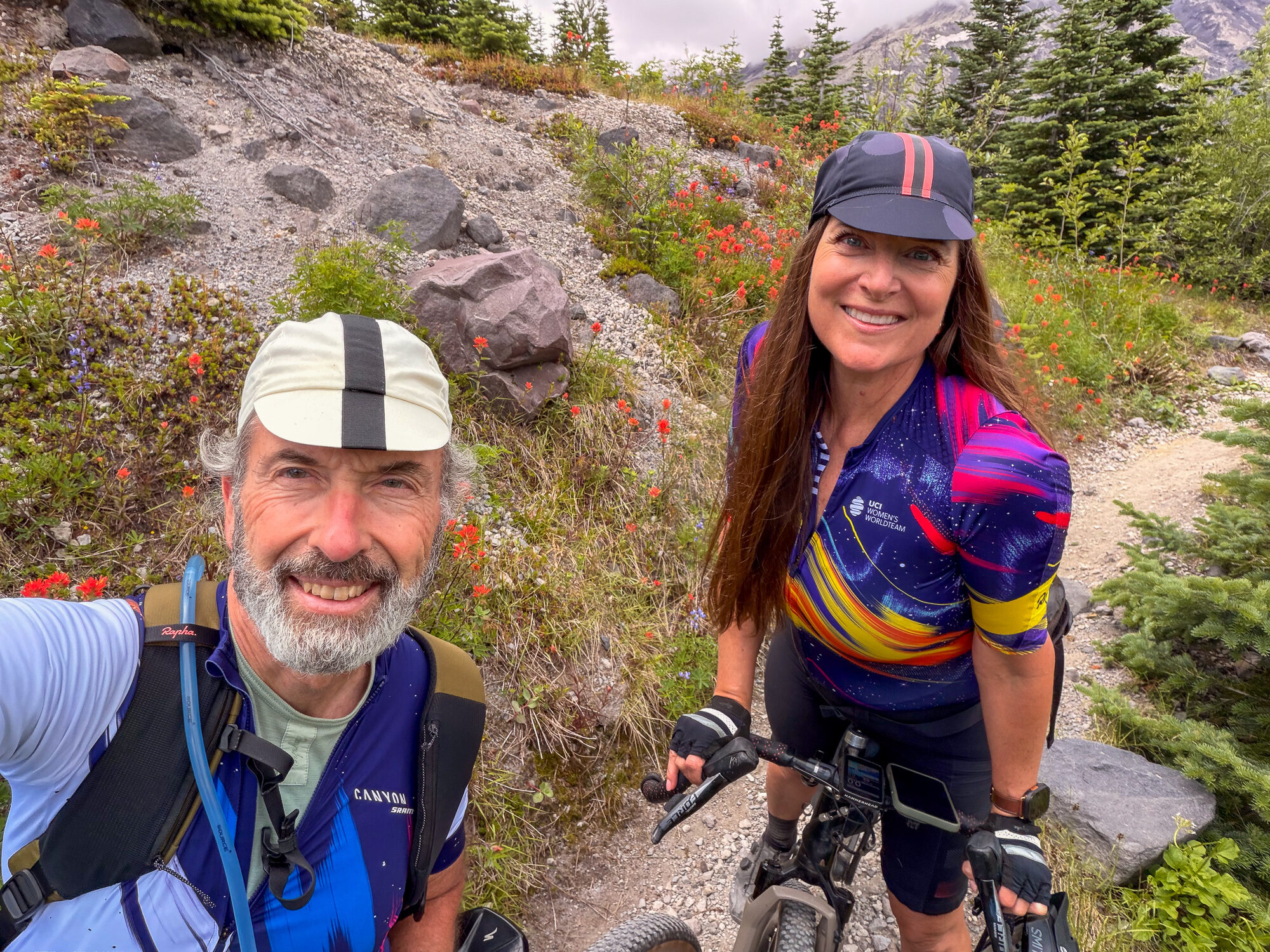
We're already planning to go back. Sunshine, our friend-of-a-friend guide, pointed us toward Loowit Falls as a destination — high on the mountain, and the last stretch is hiking-only, since you have to leave the bike where the monument trail begins. That doesn't really stop us: we'd bikepack in, set up camp, and hike the rest. We'd highly recommend this loop to anyone. A lot of mountain bikers, and certainly the e-bikes, do it in a day. When we come back, we'll take two — because it's a place to dawdle, and to immerse yourself in. And because coming up Road 83 is a different ride from going down it. Hope to see you on the trail.