Vowel Trail
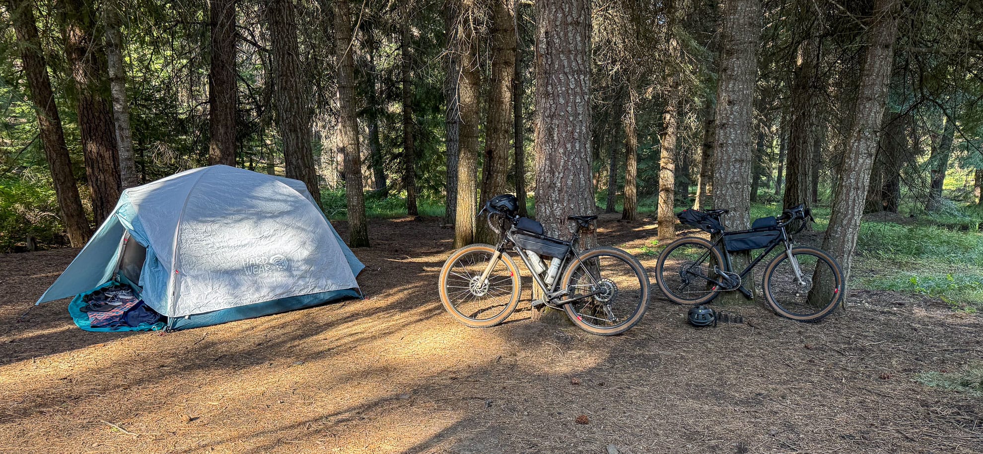
Type of rides: Popsicle loop, gravel road climbs, double track descent, car camping base out of Ochoco Divide Campground
Date ridden: Summer Solstice, July 5, 2025
Distance logged: 46 km
Elevation Gain: 920 meters
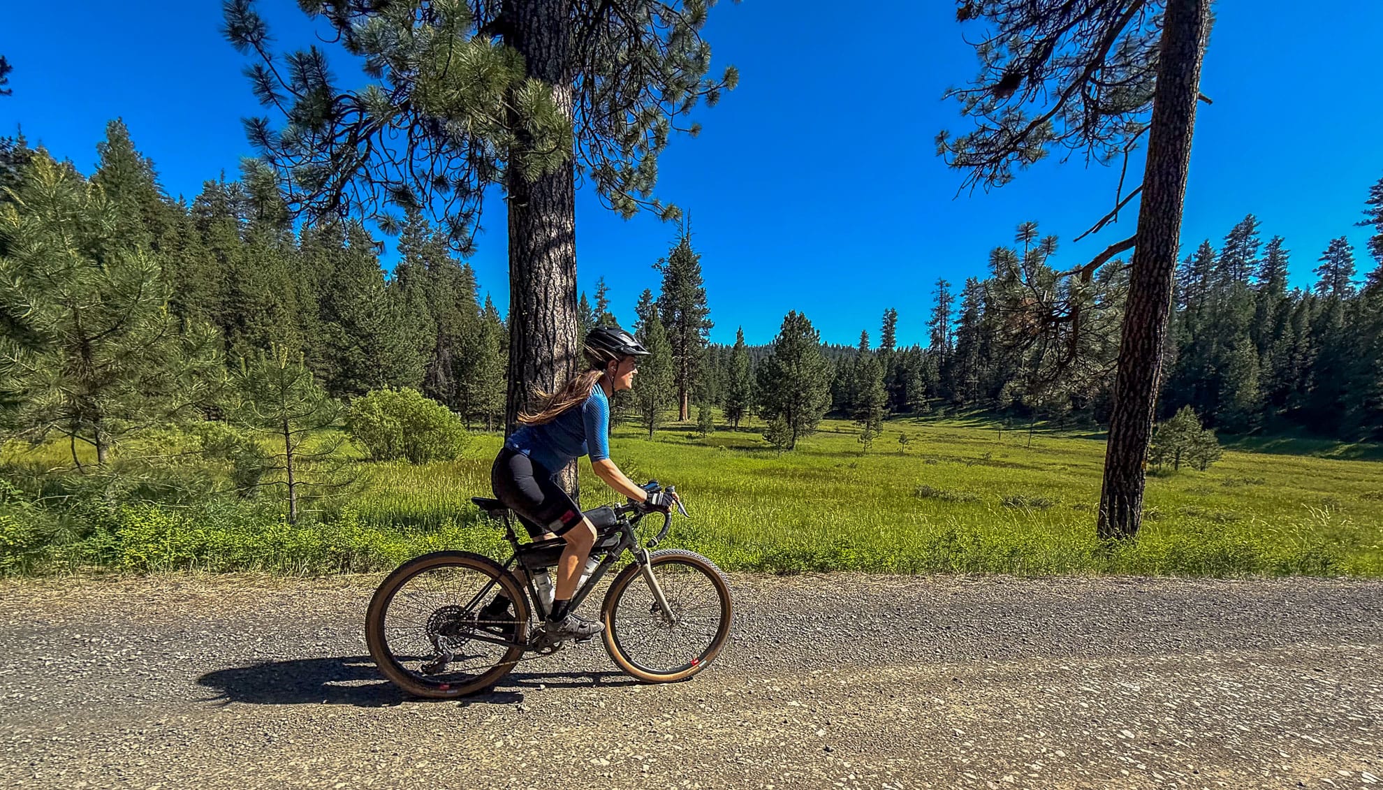
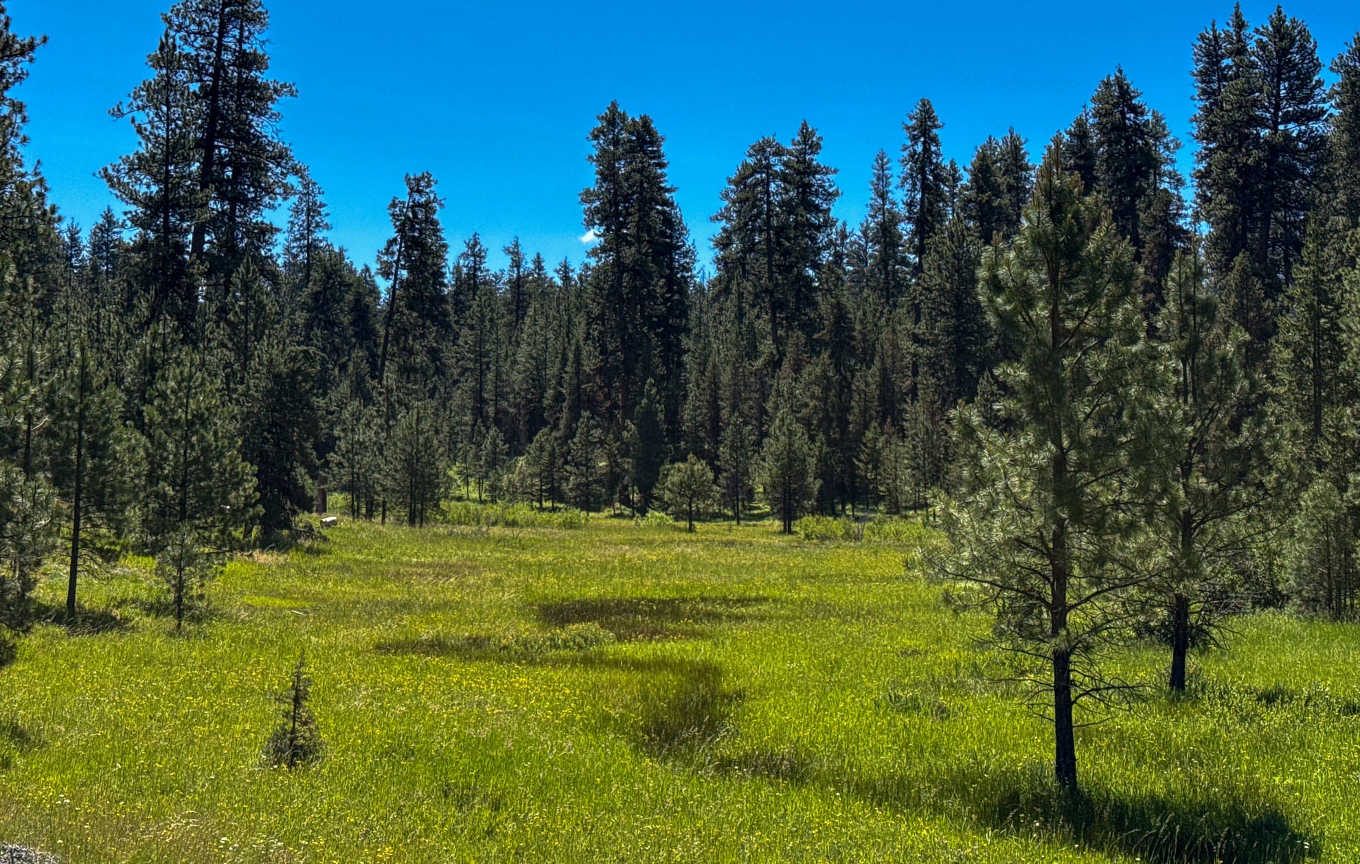
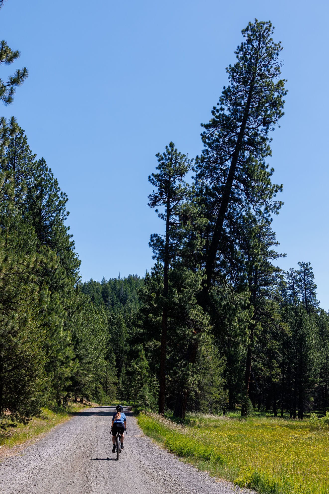
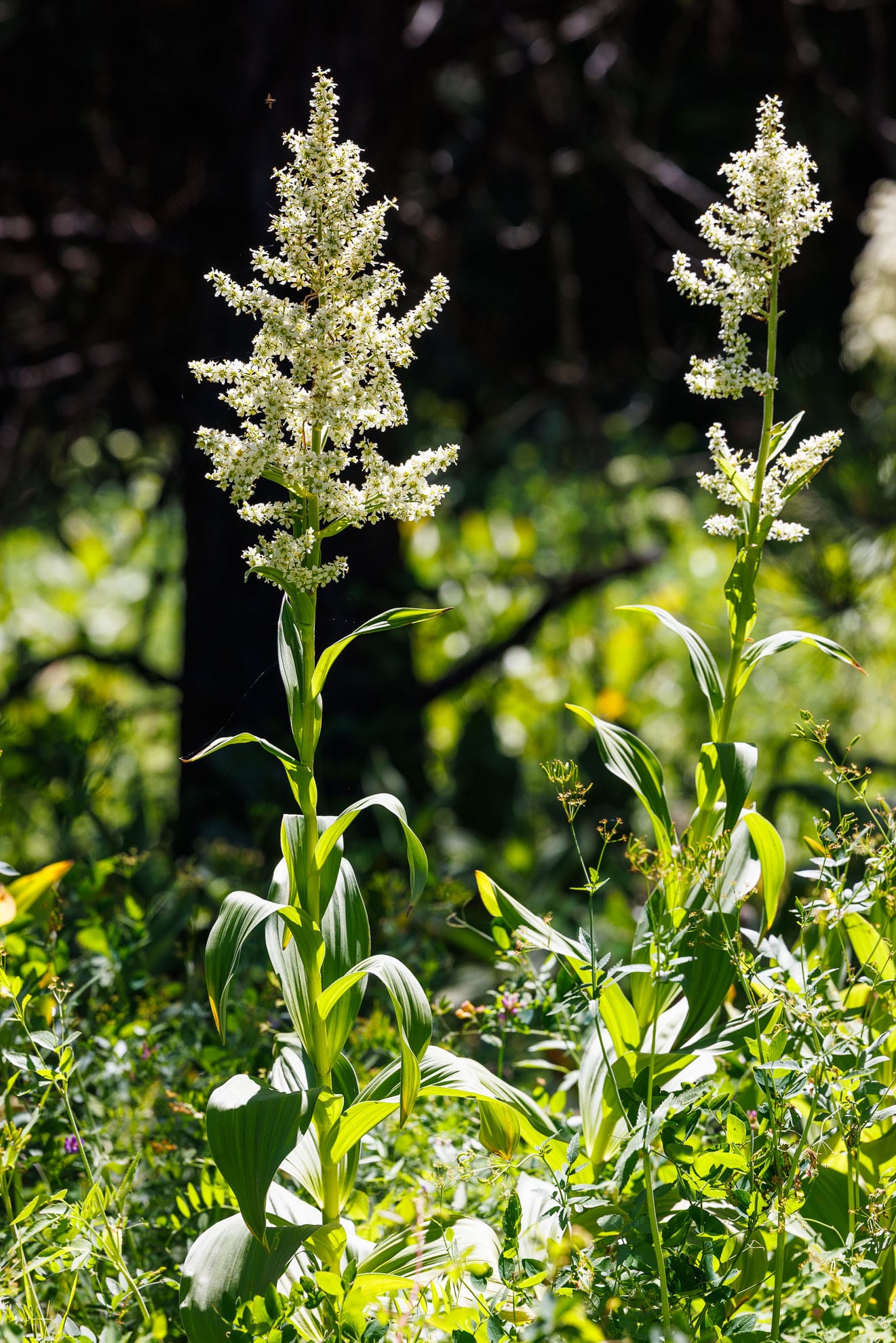
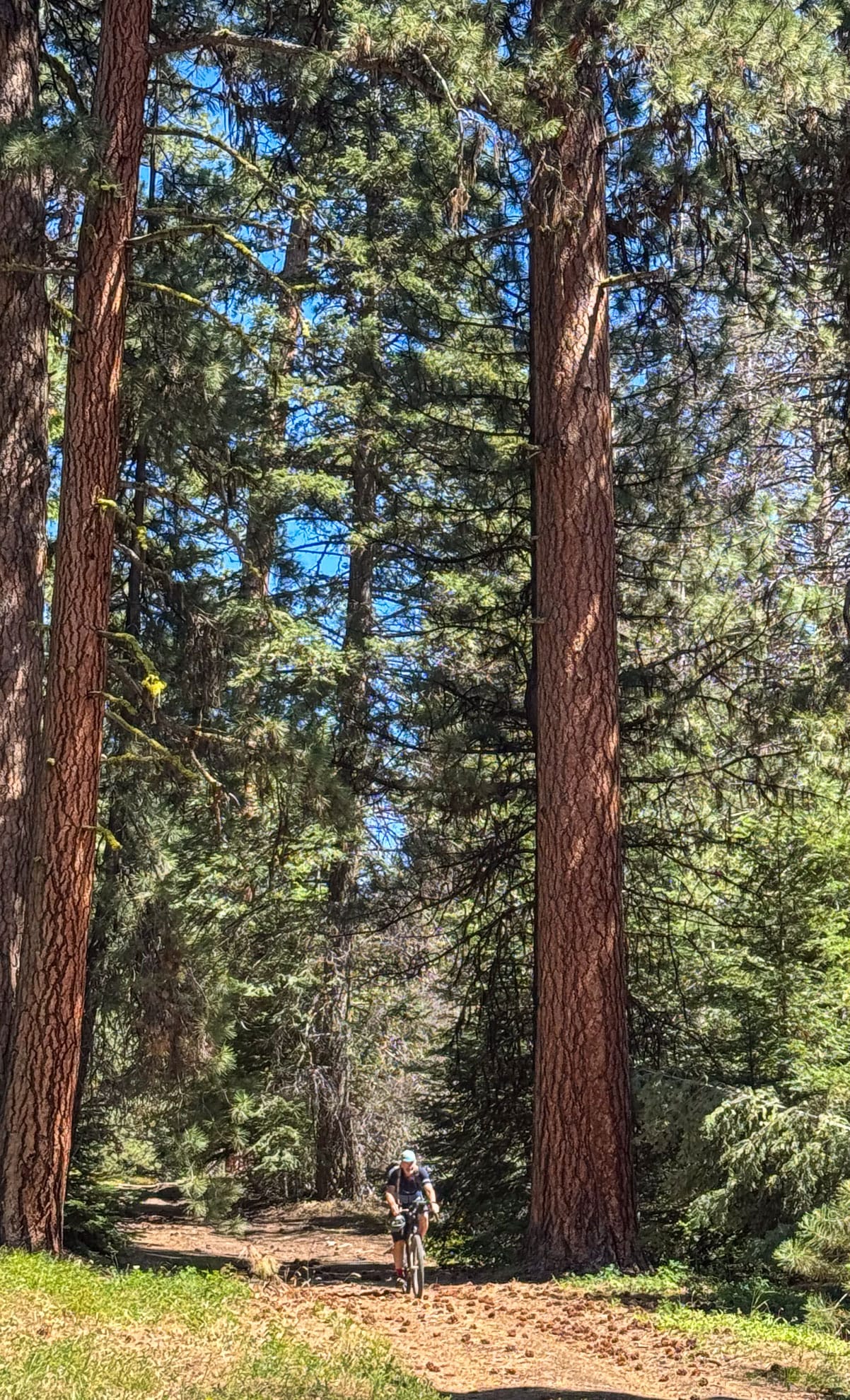
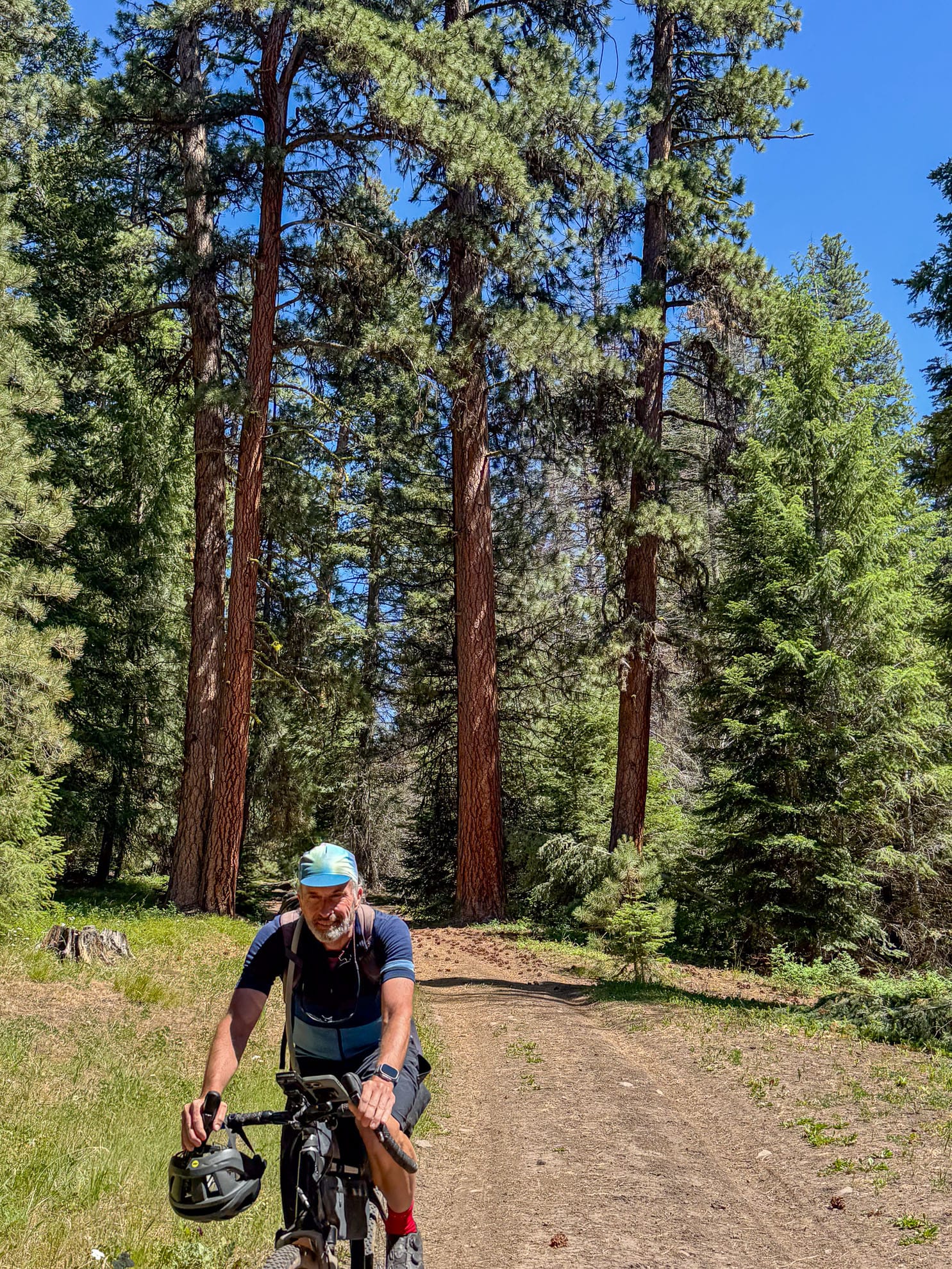
We set out from Ochoco Divide campground to explore east of the Bailey burn. After a short descent south on 26, our route up Forest Service road 2630 was a gentle grade. Most of the climbing today was in the 3 to 5% range. This follows Crystal Creek and there are meadows all along the road. Bog candle orchids filled one of the first ones. Throughout the day there seem to be old growth ponderosa pines left from earlier logging.
We took a jog south on Forest Road 2210 and then headed east again on a gravel climb, Forest Road 050 along Ochoco Creek. We took the higher of the choices and this road seem to veer left, but we followed the route on the map and this turned into dirt double track with the upper end quite narrow. I think only OHVs would fit on this. It was beautiful, winding through the pine trees and narrow.
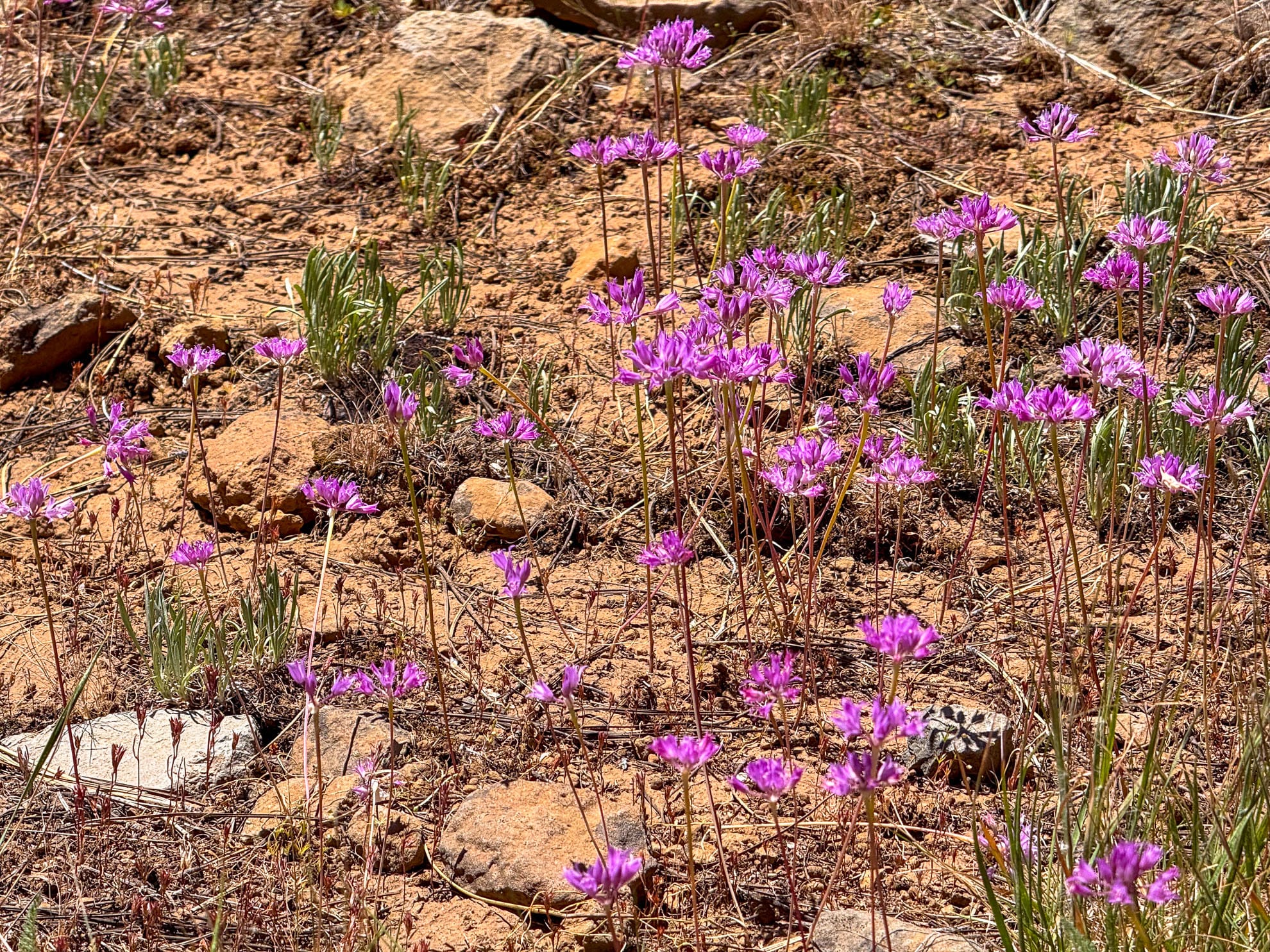
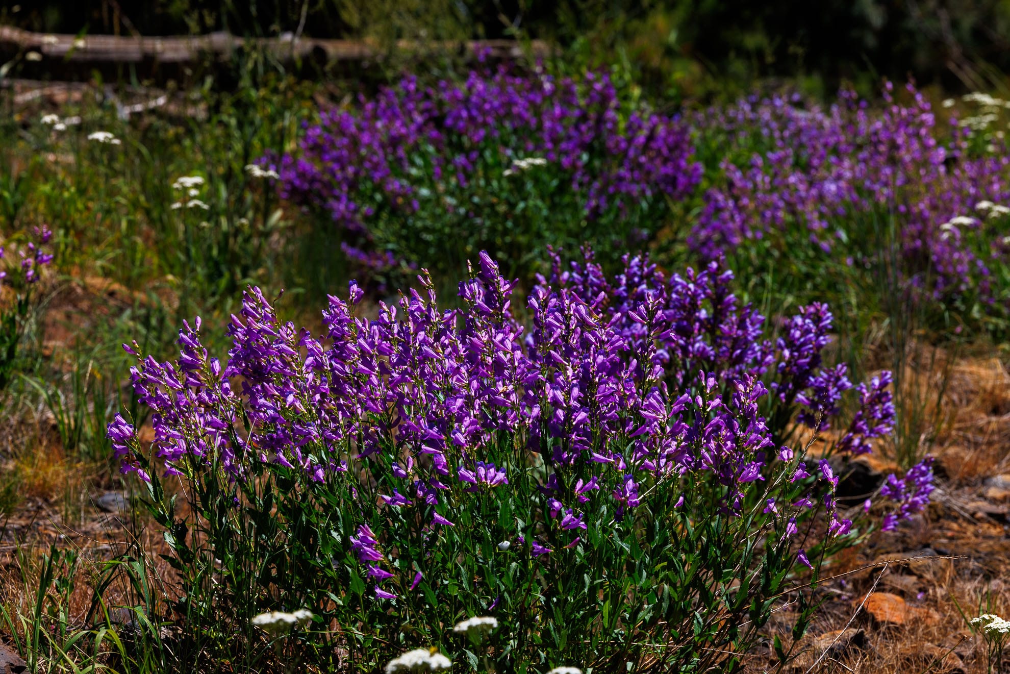
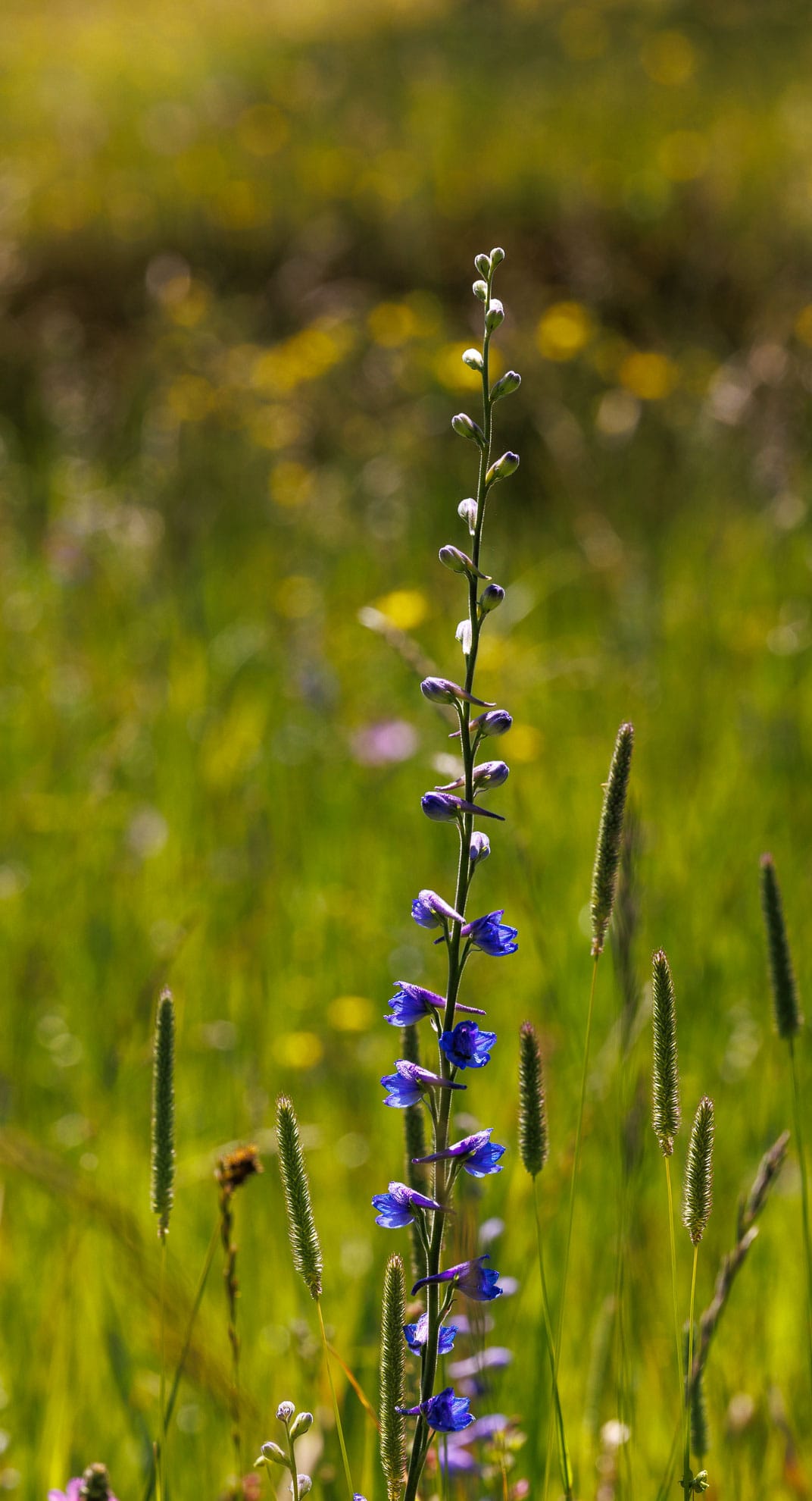
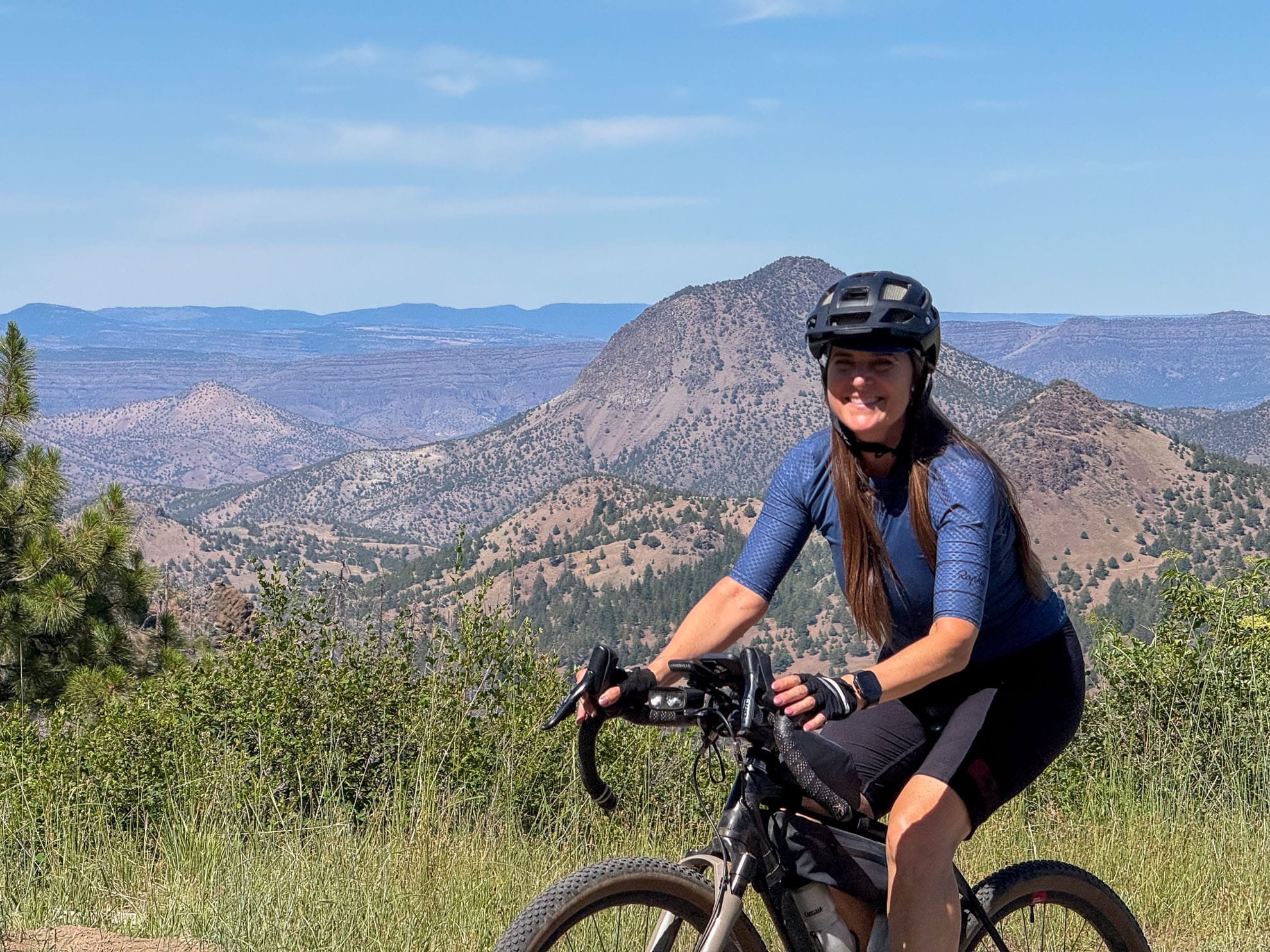
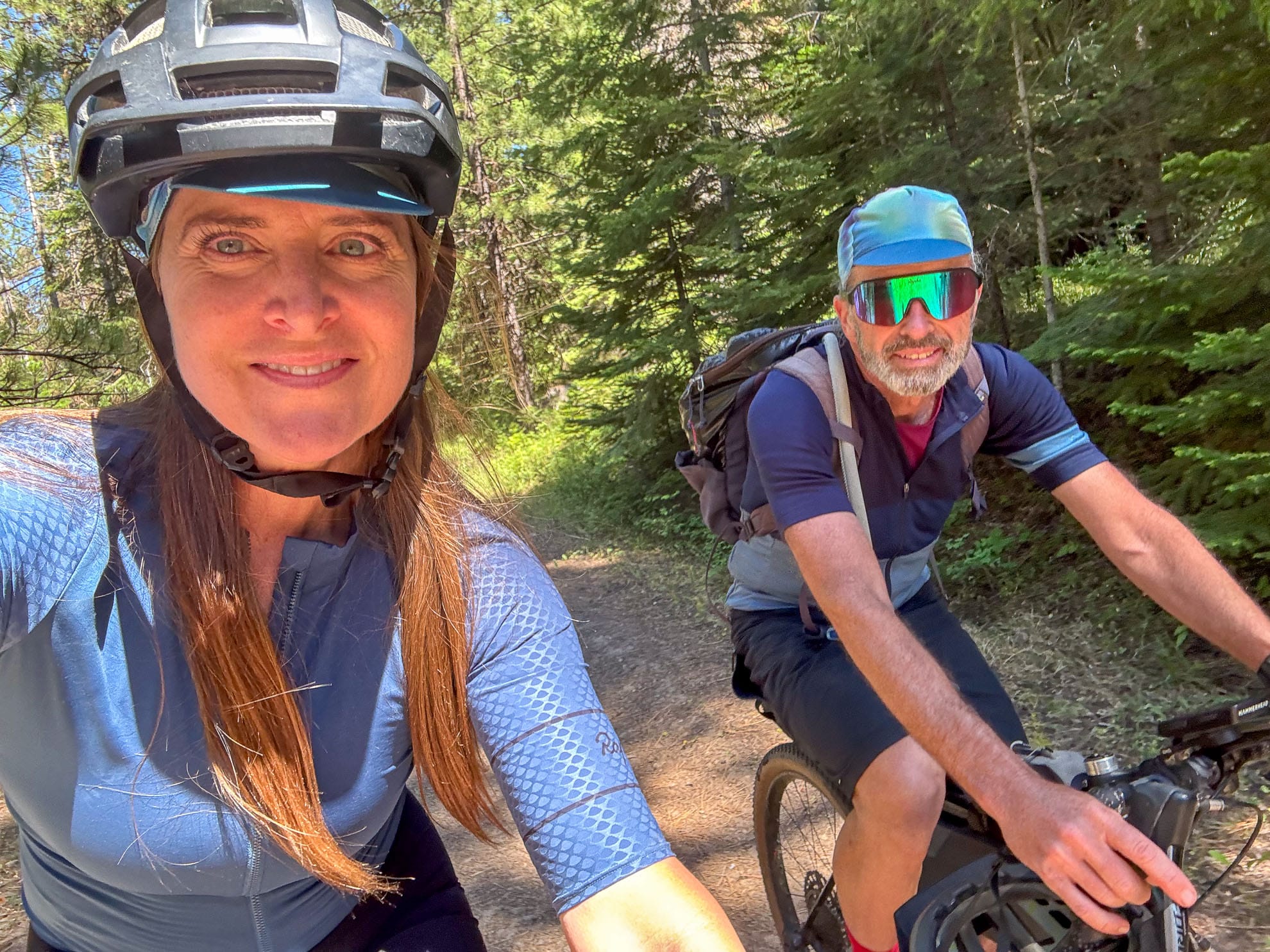
At the top, we turned east on Summit Road. After 150 joined from Walton lake, there were more pickups along the route. There are plenty of open camping spaces and a few had RVs in them. There’s not many views from the ridge. There were some delightful wildflowers, especially the Penstemon.
We turned north and descended on Vowel trail. This is a dirt road/trail that someone has driven on in the wet season leaving deep ruts. It’s also the only time we encountered a herd of cattle in the 10 days we’ve spent in the region so far. They left us alone.
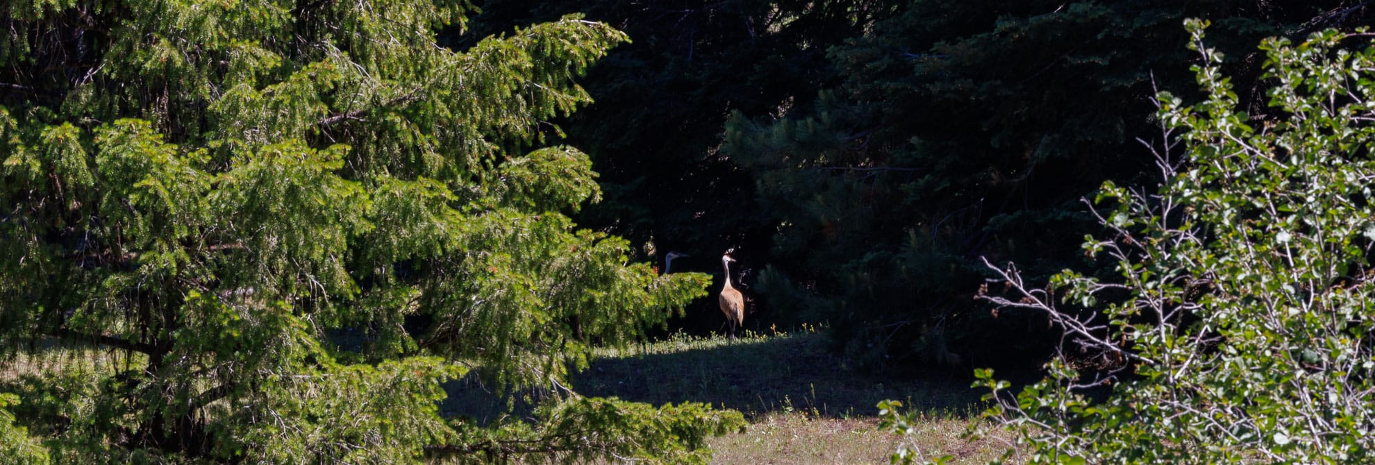
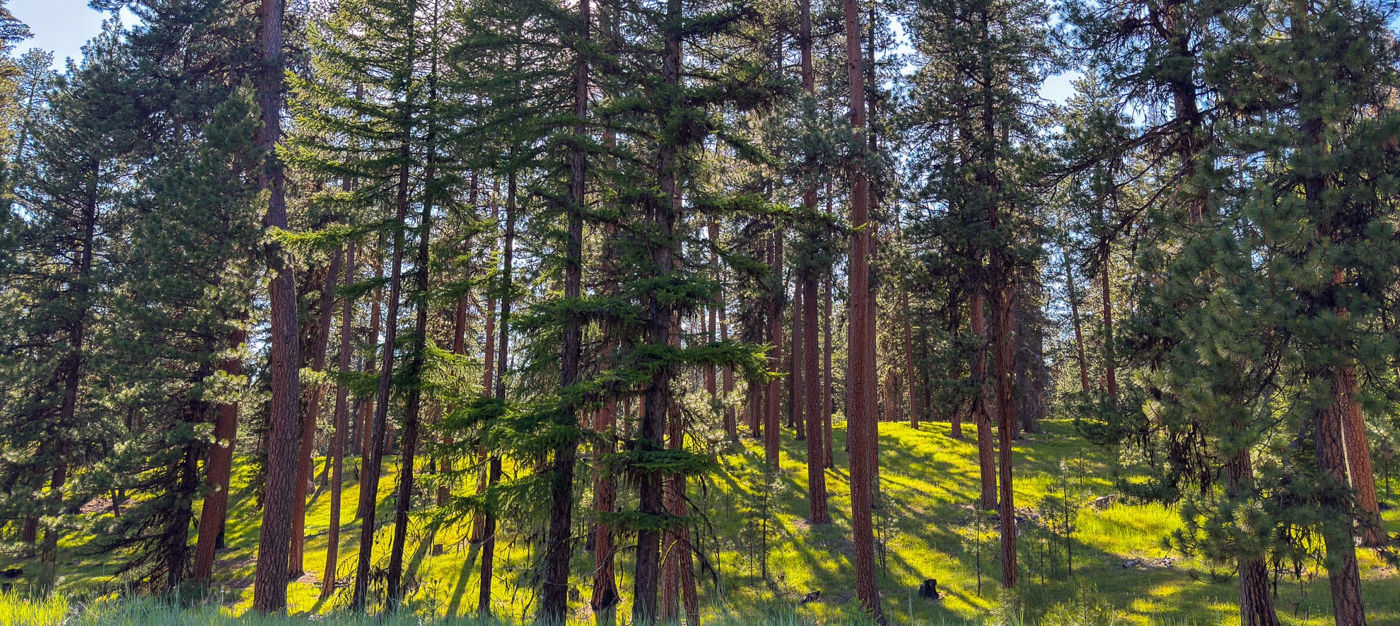
We passed five wild turkeys, found a beautiful lunch spot in a meadow and enjoyed the descent along the west branch of Bridge Creek. There are some very ancient large trees and some 200 to 300 year-old Ponderosa Pines throughout the region. The trail was mostly shaded. As it was in a valley, there were no distant views. Slide Mountain Road has been bulldozed closed.

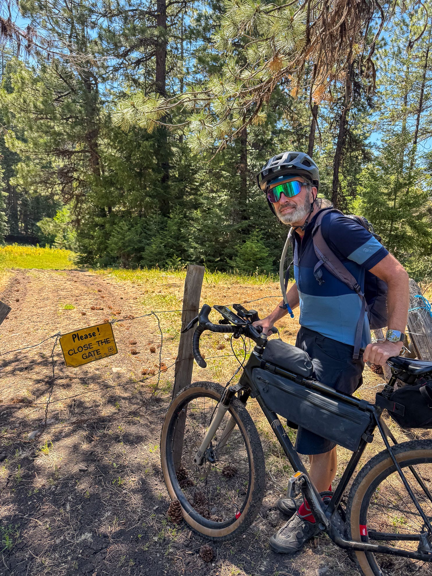
This is a beautiful winding descent, and although the last 500 m passes over private land, it is open for travel. Their No trespassing signs line either side of the road, but the road itself is open for travel and connects with Forest Road 2210. That was the big unknown for me.
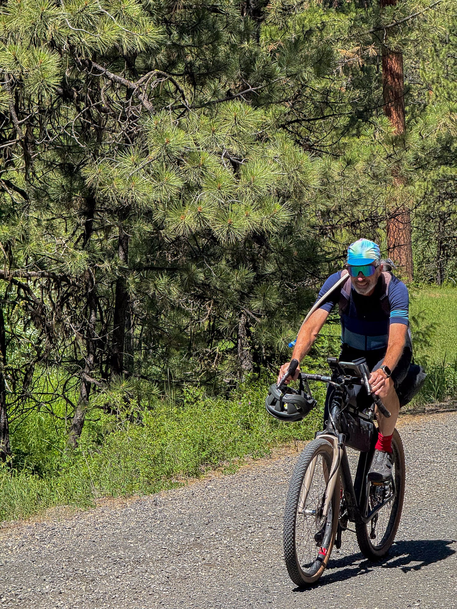
We turned south, ascending back toward the ridge. We saw two sets of bicycle prints and four cycles descended past us on their way downhill. With the 3% grade, this is a much better choice for cycles than staying on route 26 where there is almost no shoulder and the traffic is wide pickups, trailers, RVs & is almost always over the speed limit.
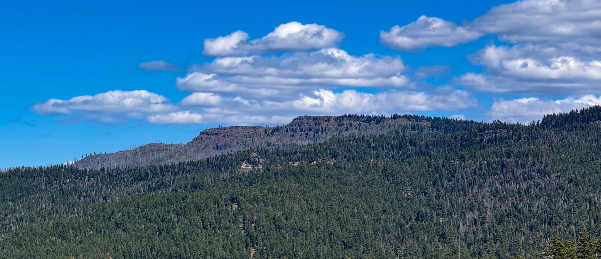
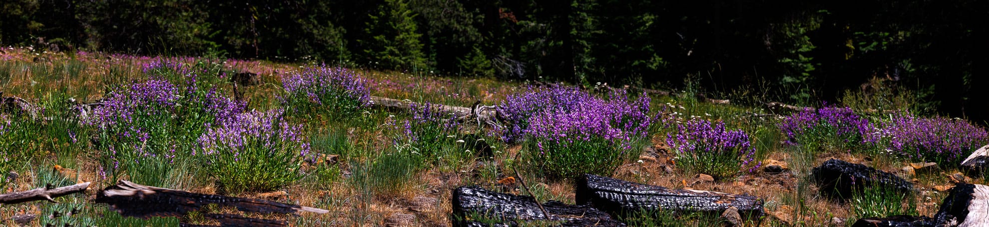
Additionally, because of the Bailey burn in 2014, the views north are splendid, including Black Butte and White Butte. Slide Mountain is visible to the east.
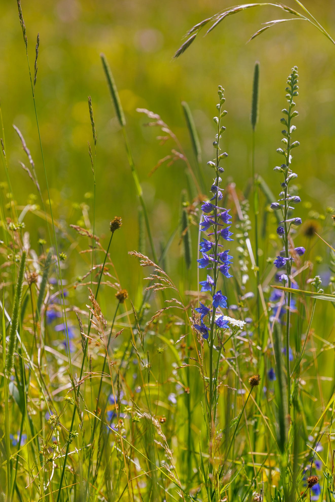
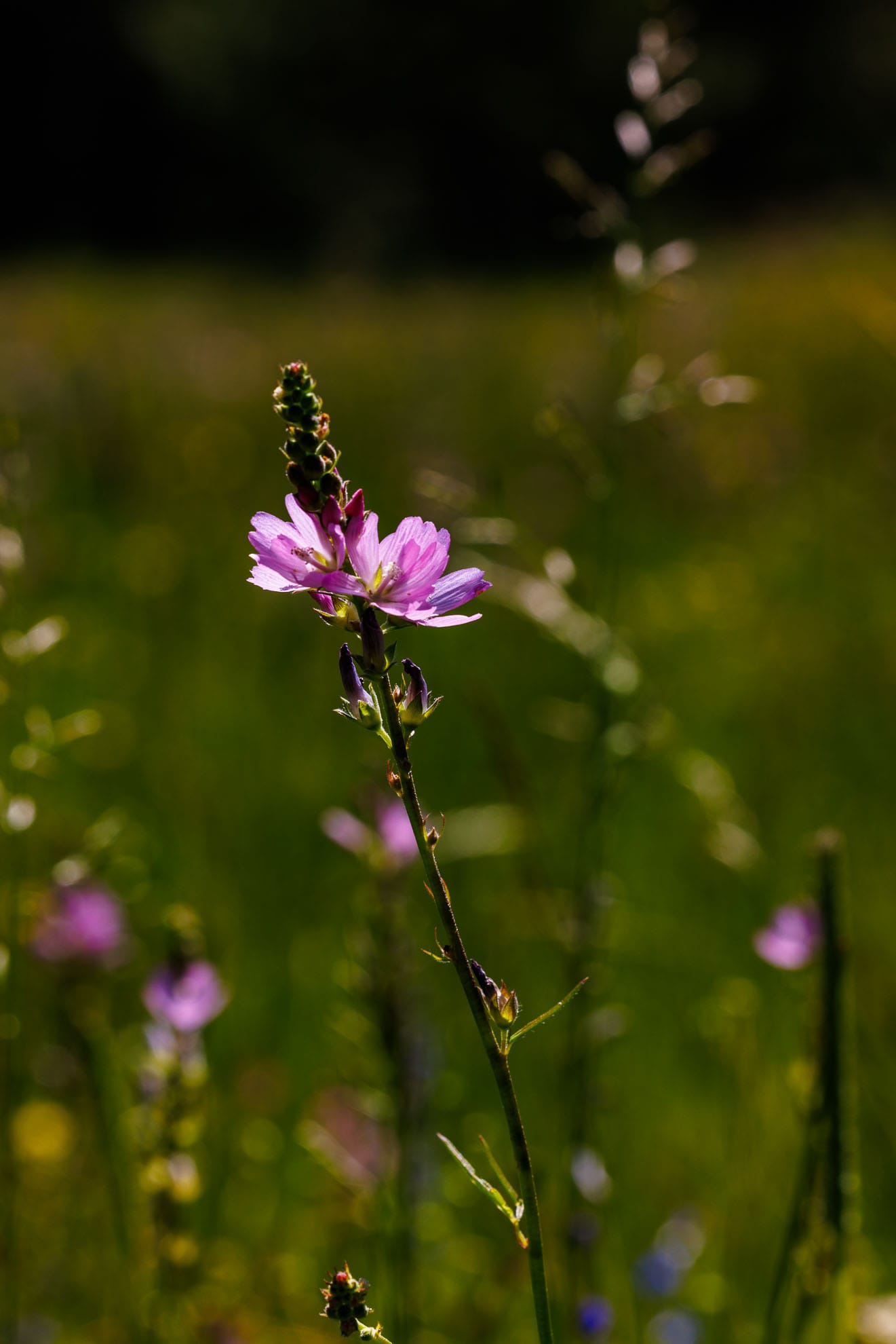
Butterflies were exuberantly flitting and mating among wildflowers lining the sides of the road. Wildwood Campground had only a single camper. There is a forest service toilet, but no other facilities.
From the crest of the climb, it is a gentle descent all the way back to Highway 26.
There was cellular service along the top ridge and while climbing FS 2210.